Forsyth in Rosebud County, Montana — The American West (Mountains)
Forsyth, MT
Photographed by Barry Swackhamer, September 13, 2020
1. Forsyth, MT Marker
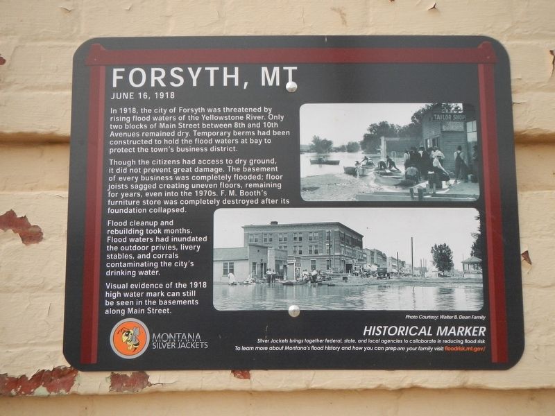
Though the citizens had access to dry ground, it did not prevent great damage. The basement of every business was completely flooded; floor joists sagged creating uneven floors, remaining for years, even into the 1970s. F.M. Booth's furniture store was completely destroyed after is foundation collapsed.
Flood cleanup and rebuilding took months. Flood waters had inundated the outdoor privies, livery stables, and corrals contaminating the city's drinking water.
Visual evidence of the 1918 high water mark can still be seen in the basements along Main Street.
Erected by Montana Silver Jackets.
Topics. This historical marker is listed in this topic list: Disasters. A significant historical date for this entry is June 16, 1918.
Location. 46° 15.91′ N, 106° 40.822′ W. Marker is in Forsyth, Montana, in Rosebud County. It is on Main Street near North 8th Avenue,
this page online

Regionally, this marker is in the Northern Cheyenne Nation, in Southeast Montana, in Custer Country and in the Powder River Basin. It is also in the American Mountain West, in the Lewis & Clark Corridor, on the prairies, on the Great Plains, and specifically on the Northern Plains. Globally, it is in North America, the Western Hemisphere, the Western World, and the Anglosphere. Historically, it finds itself in what was once Rupert’s Land and also the Louisiana Purchase.
Other nearby markers. At least 8 other markers are within walking distance of this marker: Commercial Hotel (a few steps from this marker); Kennedy-Fletcher Block (about 300 feet away, measured in a direct line); a different marker also named Forsyth, MT (about 400 feet away); Choisser Block (about 400 feet away); 933 Main Street (about 500 feet away); Merchant Bank (about 600 feet away); Roxy Theatre (about 600 feet away); Forsyth Main Street Historic District (about 700 feet
Photographed by Barry Swackhamer, September 13, 2020
2. Forsyth, MT Marker
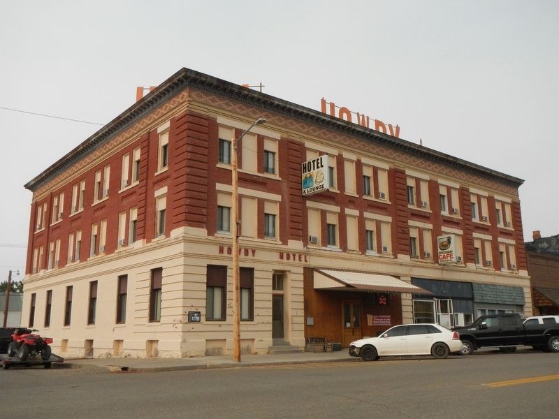
The marker is at the corner.
Credits. This page was last revised on January 16, 2021. It was originally submitted on January 16, 2021, by Barry Swackhamer of Brentwood, California. This page has been viewed 323 times since then and 19 times this year. Photos: 1, 2. submitted on January 16, 2021, by Barry Swackhamer of Brentwood, California.
