Clarksville in Montgomery County, Tennessee — The American South (East South Central)
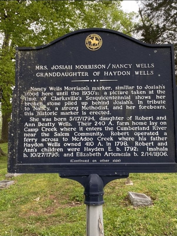
Mrs. Josiah Morrison / Nancy Wells
Granddaughter of Haydon Wells
Inscription.
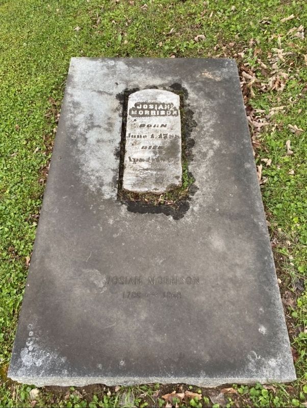
Nancy Wells Morrison's marker, similiar to Josiah's
stood here until the 1930's; a picture taken at the
time of Clarksville's Sesquicentennial shows
broken stone piled up behind Josiah's. In tribute
to Nancy, a strong Methodist, and her forebears,
this historic marker is erected.
She was born 5/17/1794, daughter of Robert and Ann Beatty Wells. Their 240 A. farm home lay on Camp Creek where it enters the Cumberland River near the Salem Community. Robert operated a ferry across to McAdoo Creek where his father Haydon Wells owned 410 A. in 1798. Robert and Ann's children were Hayden E. b. 1792; Imahala b. 10/27/1795; and Elizabeth Artemesia b. 2/l4/1806.
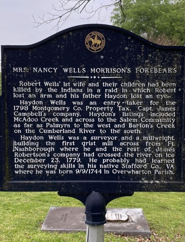
Robert Well’s 1st wife and their children had been killed by the Indians in a raid in - which Robert lost an arm and his father Haydon lost an eye. Haydon Wells was an entry-taker for the 1798 Montgomery Co. Property Tax, Capt. James Campbell's companý. Hayden’s listings included McAdoo Creek and across to the Salem Community as far as Palmyra to the west and Barton's Creek on the Cumberland River to the south.
Haydon Wells was a surveyor and a millwright, building the first grist mill across from Ft. Nashborough where he and the rest of James Robertson's company had crossed the river on ice December 23, 1779. He probably had learned the surveying skills in his native Stafford Co., VA where he was born 9/9/1744 in Overwharton Parish.
Erected by The United Methodist Church.
Topics. This historical marker is listed in these topic lists: Native Americans • Settlements & Settlers.
Location. 36° 32.162′ N, 87° 21.924′ W. Marker is in Clarksville, Tennessee, in Montgomery County. Marker can be reached from North Spring Street. Touch for map. Marker is at or near this postal address: 635 N Spring St, Clarksville TN 37040, United States of America. Touch for directions.
Other nearby markers. At least 8 other markers are within walking distance of this marker. Riverview Cemetery (within shouting distance of this marker); Smith-Trahern Mansion (approx. 0.2 miles away); Steve Enloe Wylie (approx. ¼ mile away); Emerald Hill (approx. 0.3 miles away); Freedmen School and Church (approx. half a mile away); Lafayette's Tour (approx. half a mile away); Town of Cumberland (approx. half a mile away); Surrender of Clarksville (approx. half a mile away). Touch for a list and map of all markers in Clarksville.
Credits. This page was last revised on February 6, 2021. It was originally submitted on January 18, 2021, by Darren Jefferson Clay of Duluth, Georgia. This page has been viewed 184 times since then and 14 times this year. Photos: 1, 2, 3, 4. submitted on January 18, 2021, by Darren Jefferson Clay of Duluth, Georgia. • Bill Pfingsten was the editor who published this page.


