Mathias in Hardy County, West Virginia — The American South (Appalachia)
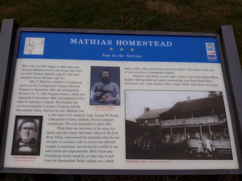
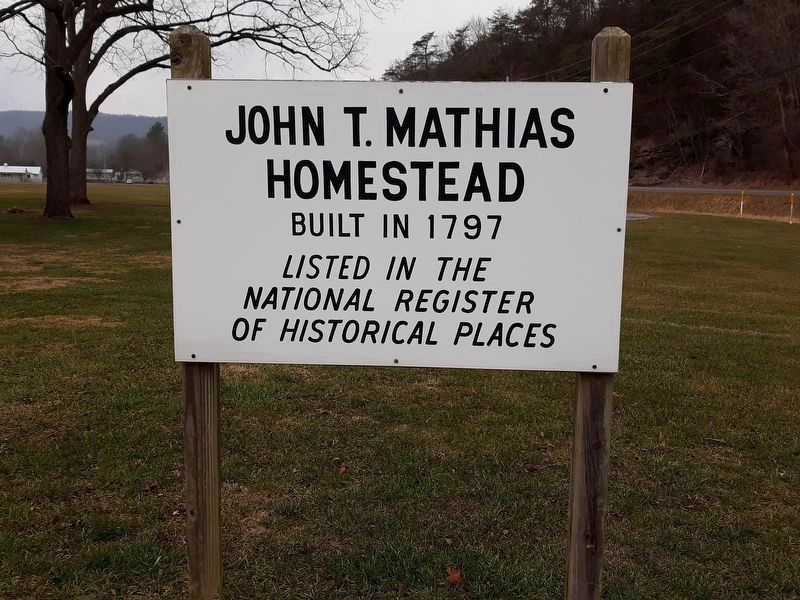
Mathias Homestead
Son in the Service
— West Virginia Civil War Trails —
John T. Mathias enlisted in Confederate service in the 1st Regiment Virginia Partisan Rangers in September 1861. He subsequently served in Co. C, 18th Virginia Cavalry, which was organized in December 1862 and assigned to Gen. John D. Imboden's brigade. The brigade saw service principally in western Virginia and the Shenandoah Valley. During the war, Mathias rose to the rank of 1st sergeant. Capt. George W. Stump, a Hampshire County resident, was his company commander. The unit disbanded in April 1865.
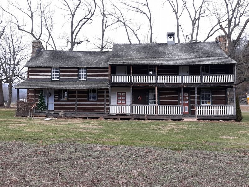
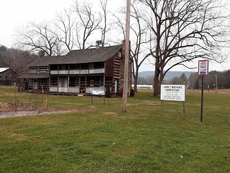
While their son was away in the army, his family and this house, like many others in the Lost River Valley, experienced the hardships that the war wrought on civilians. Life on a farm was difficult enough in peacetime, but during the conflict it was both harsh and unpredictable. Both Union and Confederate forces swept by on their way to and from the Shenandoah Valley, taking corn, wheat, apples, cattle, hogs, and sheep to feed the soldiers. The house is also said to have served as a Confederate hospital.
Howard's Lick Road, to your right, leads to the former Hardy White Sulphur Springs hotel and cabins (present-day Lost River State Park). During the war, valley families often sought shelter there from the armies.
Erected by West Virginia Civil War Trails.
Topics and series. This historical marker is listed in this topic list: War, US Civil. In addition, it is included in the West Virginia Civil War Trails series list.
Location. 38° 52.653′ N, 78° 52.01′ W. Marker is in Mathias, West Virginia, in Hardy County. Marker is at the intersection of West Virginia Route 259 and Howard's Lick Road (County Route 12), on the right when traveling south on State Route 259. Touch for map. Marker is in this post office area: Mathias WV 26812, United States of America. Touch for directions.
Other nearby markers. At least 8 other markers are within 7 miles of this marker, measured as the crow flies. Mathias Veterans Memorial (within shouting distance of this marker); Howard's Lick / Jackson Home (approx. 0.2 miles away); Lee House Museum (approx. 3.4 miles away); Lost River’s First Church (approx. 4 miles away); James Ward Wood (approx. 4 miles away); Woodlawn (approx. 5.1 miles away); Lost River (approx. 6.1 miles away); Hardy County / Virginia (approx. 6.8 miles away). Touch for a list and map of all markers in Mathias.
Credits. This page was last revised on January 21, 2021. It was originally submitted on January 18, 2021, by Craig Doda of Napoleon, Ohio. This page has been viewed 697 times since then and 92 times this year. Photos: 1, 2, 3, 4, 5, 6. submitted on January 18, 2021, by Craig Doda of Napoleon, Ohio. • Bernard Fisher was the editor who published this page.
