Harrison County
⎯⎯⎯
Marion County
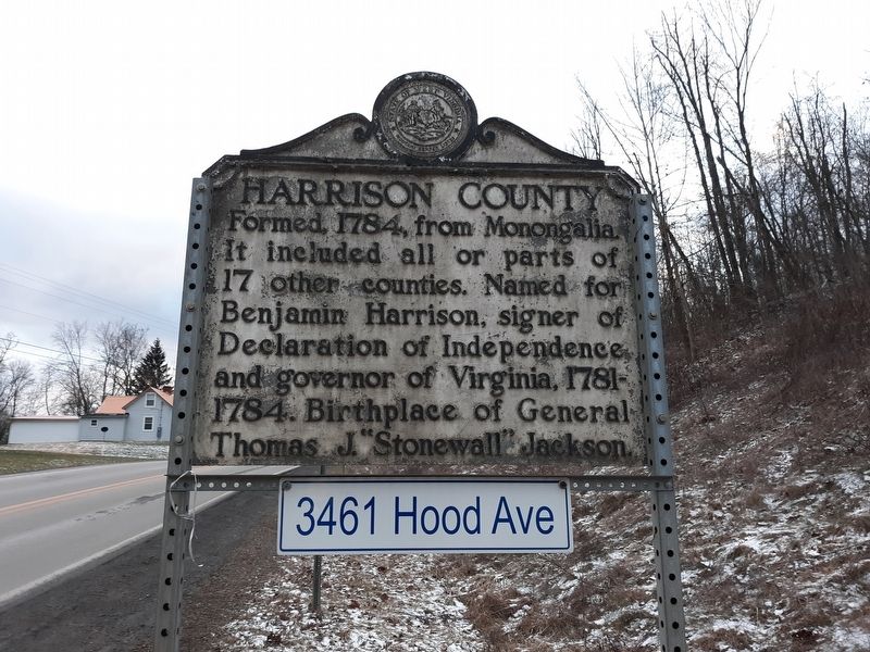
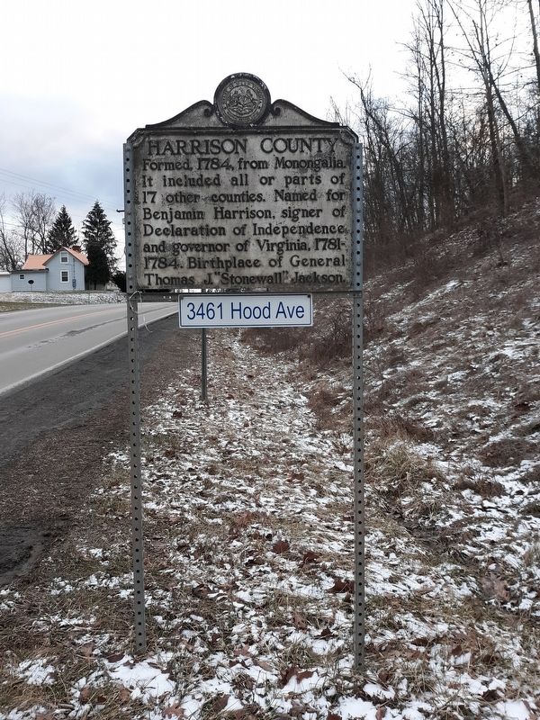
Harrison County. Formed, 1784, from Monongalia. It included all or parts of 17 other counties. Named for Benjamin Harrison, signer of Declaration of Independence, and governor of Virginia, 1781-1784. Birthplace of General Thomas J. "Stonewall" Jackson.
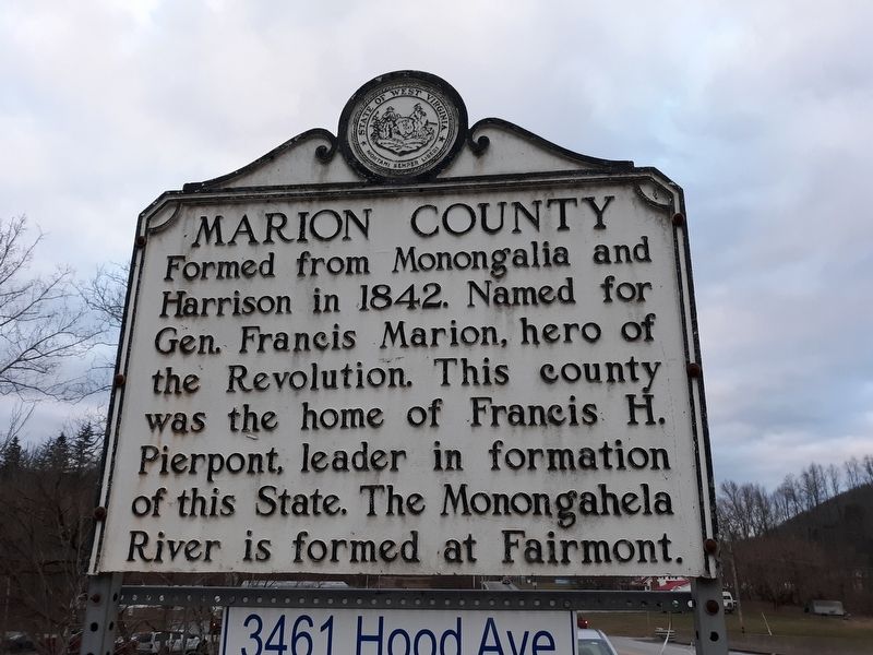
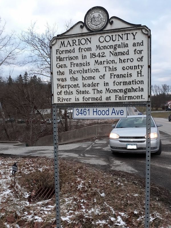
Marion County. Formed from Monongalia and Harrison in 1842. Named for Gen. Francis Marion, hero of the Revolution. This county was the home of Francis H. Pierpont, leader in formation of this State. The Monongahela River is formed at Fairmont.
Erected by West Virginia Department of Culture and History.
Topics and series. This historical marker is listed in these topic lists: Government & Politics • Political Subdivisions • War, US Civil • War, US Revolutionary. In addition, it is included in the West Virginia Archives and History series list. A significant historical year for this entry is 1784.
Location. 39° 25.95′ N, 80° 16.65′ W. Marker is in Worthington, West Virginia, in Marion County. It is at the intersection of Freedom Highway (U.S. 19) and Teacher Lane, on the right when traveling north on Freedom Highway. Touch for map. Marker is at or
this page online

Regionally, this marker is in North Central West Virginia. It is also in the American South, specifically in the Upper South, in Appalachia, and specifically in Northern Appalachia. Globally, it is in North America, the Western Hemisphere, the Western World, and the Anglosphere. Historically, it finds itself in what was once the territory of the Mississippian Culture.
Other nearby markers. At least 8 other markers are within 2 miles of this marker, measured as the crow flies: Bathsheba Bigler Smith (approx. 0.6 miles away); Enterprise (approx. 0.7 miles away); Revolutionary Graves (approx. ¾ mile away); In Memory of Jacob Bigler and Elisha Griffith (approx. one mile away); Worthington Veterans Memorial (approx. 1.6 miles away); Worthington World War II Honor Roll Board (approx. 1.6 miles away); Big Elm / Big Elm (approx. 2.1 miles away); Granville Davisson Hall (approx. 2.1 miles away). Touch for a list and map of all markers in Worthington.
Credits. This page was last revised on January 22, 2021. It was originally submitted on January 18, 2021, by Craig Doda of Napoleon, Ohio. This page has been viewed 297 times since then and 44 times this year. Photos: 1, 2, 3, 4. submitted on January 18, 2021, by Craig Doda of Napoleon, Ohio. • Devry Becker Jones was the editor who published this page.
