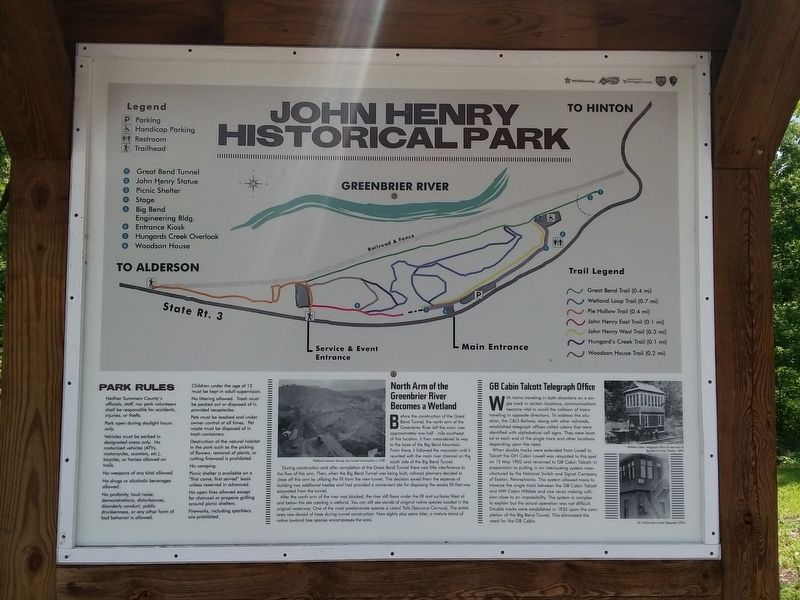
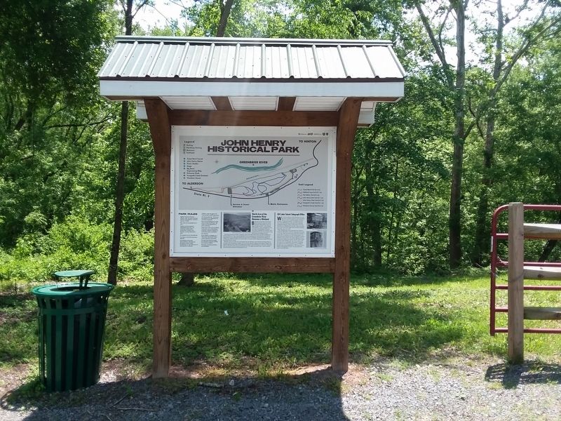
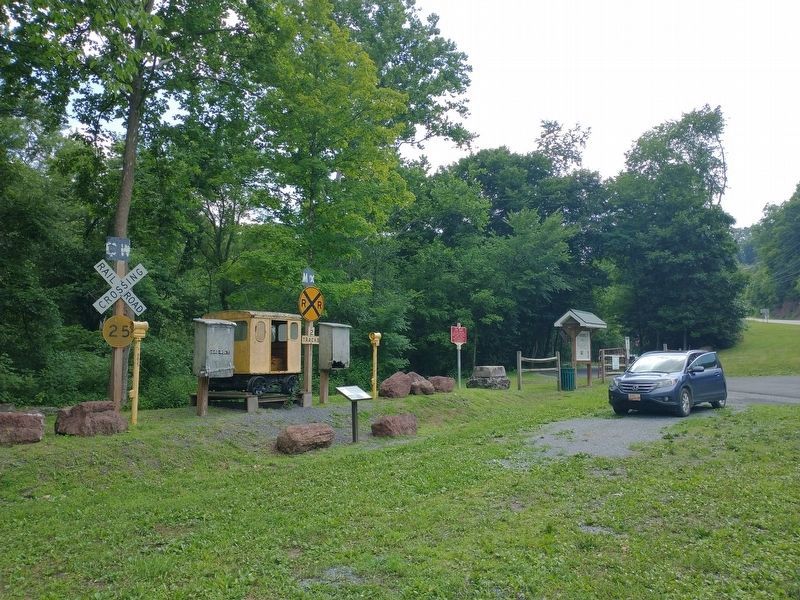
John Henry Historical Park
North Arm of the Greenbrier River Becomes a Wetland
Before the construction of the Great Bend Tunnel, the north arm of the Greenbrier River left the main river approximately one half-mile southeast of this location. It then meandered its way to the base of the Big Bend Mountain. From there, it followed the mountain until it reunited with the main river channel on the south side of the Big Bend Tunnel.
During construction and after completion of the Great Bend Tunnel there was little interference to the flow of this arm. Then, when the Big Bend Tunnel was being built, railroad planners decided to close off this arm by utilizing the fill from the new tunnel. This decision saved them the expense of building two additional trestles and had provided a convenient site for disposing the excess fill that was excavated from the tunnel.
After the north arm of the river was blocked, the river still flows under the fill and surfaces West of and below this site creating a wetland. You can still see stands of original native species located in the original waterway. One of the most predominate species is Lizard Tails (Saururus Cernuus). The entire area was devoid of trees during tunnel construction. Now eighty plus years later, a mature stand of native lowland tree species encompasses the area.
GB
Cabin Talcott Telegraph Office
With trains traveling in both directions on a single track in certain locations, communications became vital to avoid the collision of trains traveling in opposite directions. To address this situation, the C&O Railway, along with other railroads,
established telegraph offices called cabins that were identified with alphabetical call signs. They were located at each end of the single track and other locations
depending upon the need.
When double tracks were extended from Lowell to Talcott the GN Cabin Lowell was relocated to this spot on 12 May 1902 and renamed to GB Cabin Talcott. In
preparation to putting in an interlocking system manufactured by the National Switch and Signal Company of Easton, Pennsylvania. This system allowed trains to
traverse the single track between the GB Cabin Talcott
and MW Cabin Hilldale and vice versa making collision close to an impossibility. The system is complex to explain but the actual operation was not difficult.
Double tracks were established in 1932 upon the completion of the Big Bend Tunnel. This eliminated the
need for the GB Cabin.
Topics. This historical marker is listed in these topic lists: Parks & Recreational Areas • Railroads & Streetcars. A significant historical date for this entry is May 12, 1902.
Location. 37° 39.117′ N, 80° 45.767′ W. Marker
Other nearby markers. At least 8 other markers are within walking distance of this marker. Keaton Exhibit (a few steps from this marker); John Henry (a few steps from this marker); Hungards Creek Trestle (within shouting distance of this marker); John Henry Burial Site (within shouting distance of this marker); Big Bend Engineering Building (approx. 0.2 miles away); Tunnel Construction Technology Improves (approx. ¼ mile away); Great Bend Tunnel Construction (approx. ¼ mile away); John Henry In Fiction (approx. ¼ mile away). Touch for a list and map of all markers in Talcott.
Credits. This page was last revised on December 3, 2022. It was originally submitted on January 20, 2021, by Craig Doda of Napoleon, Ohio. This page has been viewed 197 times since then and 28 times this year. Photos: 1, 2. submitted on January 20, 2021, by Craig Doda of Napoleon, Ohio. 3. submitted on November 22, 2022, by Tom Bosse of Jefferson City, Tennessee. • J. Makali Bruton was the editor who published this page.


