
Glen Jean
New River Gorge National River
| — | National Park Service, U.S. Department of the Interior | — |
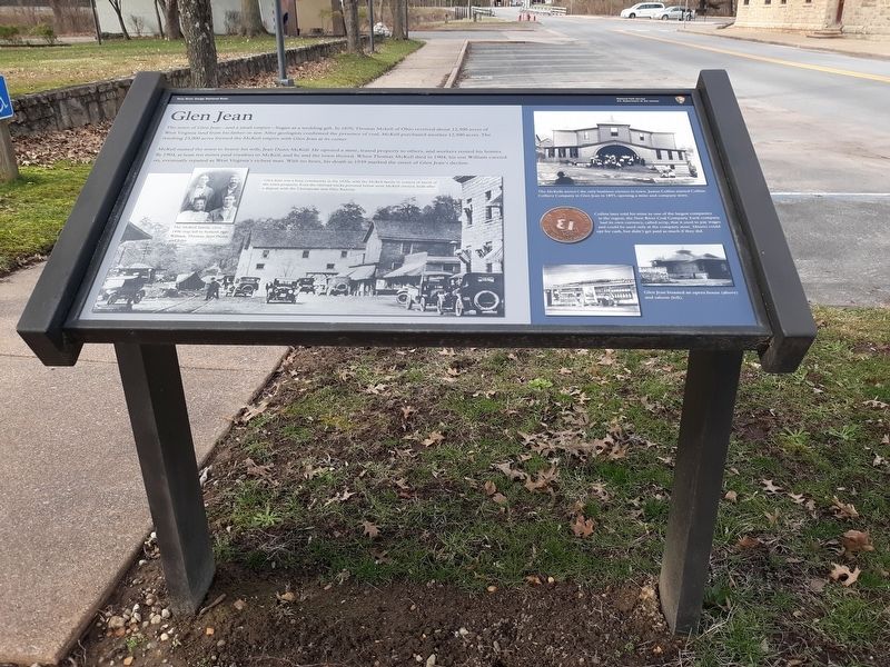
The town of Glen Jean-and a small empire-began as a wedding gift. In 1870, Thomas McKell of Ohio received about 12,500 acres of West Virginia land from his father-in-law. After geologists confirmed the presence of coal, McKell purchased another 12,500 acres. The resulting 25,000 acres formed the McKell empire with Glen Jean at its center.
McKell named the town to honor his wife, Jean Dunn McKell. He opened a mine, leased property to others, and workers rented his homes. By 1904, at least ten mines paid royalties to McKell, and he and the town thrived. When Thomas McKell died in 1904, his son William carried on, eventually reputed as West Virginia's richest man. With no heirs, his death in 1939 marked the onset of Glen Jean's decline.
[Caption:]
Collins later sold his mine to one of the largest companies
in the region, the New River Coal Company. Each company
had its own currency, called scrip, that it used to pay wages
and could be used only at the company store. Miners could
for cash, but didn't get paid as much if they did.
Erected by National Park Service, U.S. Department of the Interior.
Topics.
this page online
Location. 37° 55.666′ N, 81° 9.335′ W. Marker is in Glen Jean, West Virginia, in Fayette County. It is on Main Street (County Road 25/9) just south of McKell Avenue, on the right when traveling south. Touch for map. Marker is at or near this postal address: 42 Main St, Glen Jean WV 25846, United States of America. Touch for directions.

Regionally, this marker is in the New River Gorge and in Greater Charleston Area. It is also in the American South, specifically in the Upper South, in Appalachia, and specifically in Southern Appalachia. Globally, it is in North America, the Western Hemisphere, the Western World, and the Anglosphere. Historically, it finds itself in what was once the territory of the Mississippian Culture.
Other nearby markers. At least 8 other markers are within 2 miles of this marker, measured as the crow flies: Glen Jean Athletic Club (within shouting distance of this marker); Bank of Glen Jean (within shouting distance of this marker); Play Ball! (within
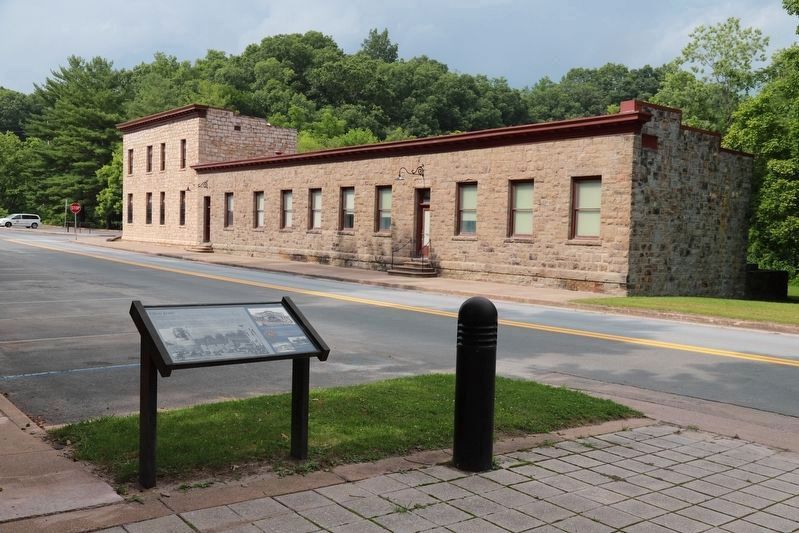
Credits. This page was last revised on August 13, 2021. It was originally submitted on January 21, 2021, by Craig Doda of Napoleon, Ohio. This page has been viewed 897 times since then and 93 times this year. Photos: 1. submitted on January 21, 2021, by Craig Doda of Napoleon, Ohio. 2. submitted on August 13, 2021, by J. J. Prats of Powell, Ohio. • Devry Becker Jones was the editor who published this page.
