
Brenham in Washington County, Texas — The American South (West South Central)
Mt. Zion United Methodist Church
Photographed by James Hulse, January 16, 2021
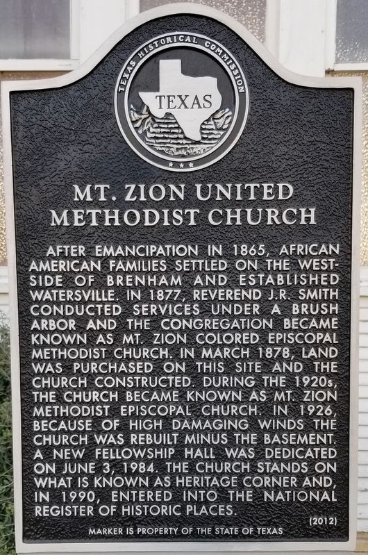
1. Mt. Zion United Methodist Church Marker
After emancipation in 1865, African American families settled on the westside of Brenham and established Watersville. In 1877, Reverend J.R. Smith conducted services under a brush arbor and the congregation became known as Mt. Zion Colored Episcopal Methodist Church. In March 1878, land was purchased on this site and the church constructed. During the 1920s, the church became known as Mt. Zion Methodist Episcopal Church. In 1926, because of high damaging winds the church was rebuilt minus the basement. A new fellowship hall was dedicated on June 3, 1984. The church stands on what is known as Heritage Corner and, in 1990, entered into the National Register of Historic Places.
Marker is property of the State of Texas
Erected 2012 by Texas Historical Commission. (Marker Number 17367.)
Topics. This historical marker is listed in these topic lists: African Americans • Religion & Religious Structures. A significant historical month for this entry is March 1878.
Location. 30° 9.724′ N, 96° 24.423′ W. Marker is in Brenham, Texas, in Washington County. It is at the intersection of High Street and West First Street, on the left when traveling north on High Street. Touch for map. Marker is at or near this postal address: 500 High Street, Brenham TX 77833, United States of America. Touch for directions.

Regionally, this marker is in the American South and on the Gulf Coast. Globally, it is in North America, a Gulf of Mexico state, the Western Hemisphere, the Western World, and the Anglosphere. Historically, it finds itself in what was once New Spain, the Republic of Texas, one of the Confederate States of America, and the Antebellum South.
Other nearby markers. At least 8 other markers are within walking distance of this marker: Blinn College (approx. 0.2 miles away); Hogan Funeral Home (approx. 0.2 miles
this page online

Photographed by James Hulse, January 16, 2021
2. Mt. Zion United Methodist Church and Marker

Photographed by James Hulse, January 16, 2021
3. Mt. Zion United Methodist Church

Photographed by James Hulse, January 16, 2021
4. National Register of Historic Places
Credits. This page was last revised on January 21, 2021. It was originally submitted on January 21, 2021, by James Hulse of Medina, Texas. This page has been viewed 511 times since then and 60 times this year. Photos: 1, 2, 3, 4. submitted on January 21, 2021, by James Hulse of Medina, Texas. • J. Makali Bruton was the editor who published this page.
