A Town Built on Top of Itself
New River Gorge National River
| — | National Park Service, U.S. Department of the Interior | — |
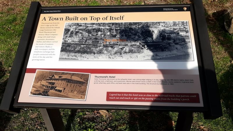
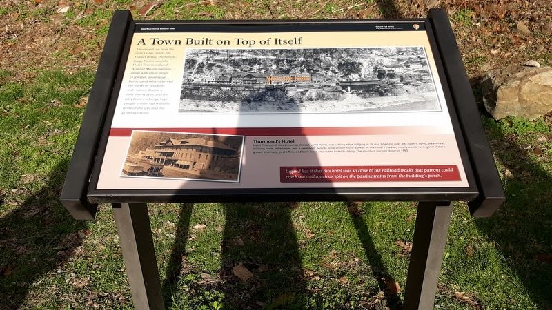
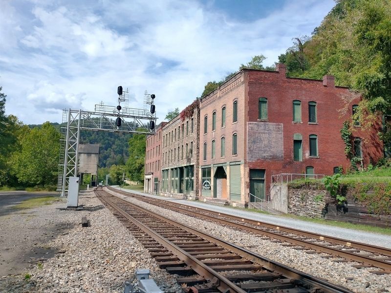
Thurmond ran from the river's edge up the hill. Homes dotted the hillside. Large businesses (like Hotel Thurmond and Armour Meat Company) along with small shops (a jeweler, shoemaker, barber, and others) served the needs of residents and visitors. Radio, a daily newspaper, and the telephone exchange kept people connected with the news of the day and the growing nation.
Thurmond's Hotel
Hotel Thurmond, also known as the LaFayette Hotel, was cutting-edge lodging in its day, boasting over 400 electric lights, steam heat, a dining room, a ballroom, and a poolroom. Movies were shown twice a week in the hotel's theater, mostly westerns. A general store, grocer, pharmacy, post office, and bank were also in the hotel building. The structure burned down in 1963.
Legend has it that this hotel was so close to the railroad tracks that patrons could reach out and touch or spit on the passing trains from the building's porch.
Erected by National Park Service, U.S. Department of the Interior.
Topics. This historical marker is listed in these topic lists: Communications • Industry & Commerce • Railroads & Streetcars
this page online
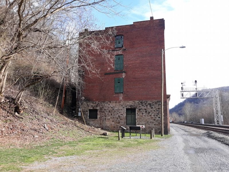
Location. 37° 57.567′ N, 81° 4.85′ W. Marker is in Thurmond, West Virginia, in Fayette County. It is on Thurmond Road (County Route 25/2) 0.2 miles north of Beury Mountain Road (County Road 25/2), on the right when traveling north. Touch for map. Marker is at or near this postal address: 144 Highland St, Thurmond WV 25936, United States of America. Touch for directions.

Regionally, this marker is in the New River Gorge and in Greater Charleston Area. It is also in the American South, specifically in the Upper South, in Appalachia, and specifically in Southern Appalachia. Globally, it is in North America, the Western Hemisphere, the Western World, and the Anglosphere. Historically, it finds itself in what was once the territory of the Mississippian Culture.
Other nearby markers. At least 8 other markers are within walking distance of this marker: Changing Town (within shouting distance of this marker); Fueling Up Trains (within shouting distance of this marker); July 2013 (about 400 feet away, measured in a direct line); 1998 (about 400 feet away);
Other markers no longer nearby. Thurmond’s Decline (was within shouting distance of this marker but has been permanently removed); The Heart of Town (was within shouting distance of this marker but has been permanently removed); The Railroad Was the Town (was within shouting distance of this marker but has been permanently removed).
Credits. This page was last revised on February 3, 2026. It was originally submitted on January 21, 2021, by Craig Doda of Napoleon, Ohio. This page has been viewed 416 times since then and 14 times this year. Photos: 1, 2, 3. submitted on January 21, 2021, by Craig Doda of Napoleon, Ohio. 4. submitted on February 2, 2026, by Tom Bosse of Jefferson City, Tennessee. • Devry Becker Jones was the editor who published this page.
