Elizabeth City in Pasquotank County, North Carolina — The American South (South Atlantic)
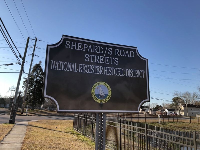
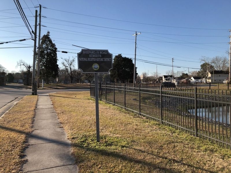
Shepard / S Road Streets
Elizabeth City, NC.
— Harbor of Hospitality —
Erected by Elizabeth City, North Carolina.
Topics. This historical marker is listed in these topic lists: African Americans • Churches & Religion • Education • Settlements & Settlers.
Location. 36° 17.54′ N, 76° 13.357′ W. Marker is in Elizabeth City, North Carolina, in Pasquotank County. Marker is on South Road Street just north of Peartree Road, on the right when traveling south. Touch for map. Marker is at or near this postal address: 903 S Road St, Elizabeth City NC 27909, United States of America. Touch for directions.
Other nearby markers. At least 8 other markers are within walking distance of this marker. Hugh Cale (about 400 feet away, measured in a direct line); Soybean Processing (approx. 0.3 miles away); Peter Weddick Moore (approx. 0.4 miles away); J. C. B. Ehringhaus (approx. 0.4 miles away); Joseph C. Price (approx. 0.4 miles away); Mount Lebanon Church (approx. 0.4 miles away); A Town Divided (approx. 0.4 miles away); Pasquotank River (approx. 0.4 miles away). Touch for a list and map of all markers in Elizabeth City.
Also see . . . Shepard Street-South Road Street Historic District Nomination Form.
This form was prepared in 1992 by Tom Butchko, Preservation Consultant. A statement of the historical significance of the district can be found on page 41:
The Shepard Street-South Road Street Historic District is significant both as Elizabeth City's earliest neighborhood outside of the original 1793 municipal boundaries and as the heart of the city's large black community since the late nineteenth century. Its development began in eamest after 1851 when it was embraced by expanded city limits. During the late nineteenth century the district became home to increasing numbers of blacks who were drawn to the area by its churches and schools. The pace of development accelerated after the 1892 opening of the State Colored Normal School (now Elizabeth City State University) on Shannon Street (now Herrington Road), and, for the twenty years before the school moved to its present campus on the city's southern end, the district was the focus of the city's growing and relatively prosperous black community. For the next thirty-one years, until 1943, the district continued to solidify as the most cohesive and important of the city's several black neighborhoods. Predominantly residential in nature, the district contains dwellings, mostly of modest scale and finish, that reflect not only the variety of architectural styles popular throughout the city and nation from the 1850s until 1942, but also of house types specifically characteristic of Elizabeth City. During the late nineteenth and early twentieth centuries, the district was the heart of the city's black religious life. Located(Submitted on January 10, 2024, by Devry Becker Jones of Washington, District of Columbia.)here were congregations of all of the city's major black denominations, including the two oldest Baptist churches and the only Episcopal, Presbyterian, and Catholic churches: Olive Branch Missionary Baptist, Comer Stone Missionary Baptist, St. Phillip's Episcopal, Antioch Presbyterian, Holy Trinity Independent Methodist, and St. Catherine Catholic.
Credits. This page was last revised on January 10, 2024. It was originally submitted on January 21, 2021, by Devry Becker Jones of Washington, District of Columbia. This page has been viewed 99 times since then and 16 times this year. Photos: 1, 2. submitted on January 21, 2021, by Devry Becker Jones of Washington, District of Columbia.

