North Thomas To Katy in Harris County, Texas — The American South (West South Central)
The Old Post Office
Photographed by James Hulse, January 18, 2021
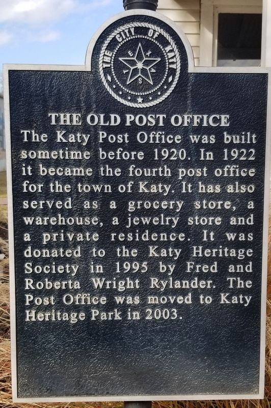
1. The Old Post Office Marker
The Katy Post Office was built sometime before 1920. In 1922 it became the fourth post office for the town of Katy. It has also served as a grocery store, a warehouse, a jewelry store and a private residence. It was donated to the Katy Heritage Society in 1995 by Fred and Roberta Wright Rylander. The Post Office was moved to Katy Heritage Park in 2003.
Erected by The City of Katy.
Topics. This historical marker is listed in this topic list: Industry & Commerce. A significant historical year for this entry is 1920.
Location. 29° 47.463′ N, 95° 49.581′ W. Marker is in Katy, Texas, in Harris County. It is in North Thomas To Katy. It is at the intersection of George Bush Drive and Avenue E, on the right when traveling west on George Bush Drive. The marker is located in the Katy Heritage Park. Touch for map. Marker is at or near this postal address: 5990 George Bush Park, Katy TX 77493, United States of America. Touch for directions.

Regionally, this marker is in the Houston Metropolitan Area. It is also in the American South and on the Gulf Coast. Globally, it is in North America, a Gulf of Mexico state, the Western Hemisphere, the Western World, and the Anglosphere. Historically, it finds itself in what was once New Spain, the Republic of Texas, one of the Confederate States of America, and the Antebellum South.
Other nearby markers. At least 8 other markers are within walking distance of this marker: The Stockdick House (within shouting distance of this marker); The Featherston House (within shouting distance of this marker); The Wright House (within shouting distance of this marker); Katy Heritage Park (within shouting distance of this marker); Humble Mess Hall (within shouting distance of this marker); The Weller-Baird Home (approx. 0.2 miles away); The Cardiff Home (approx. 0.2 miles away);
this page online
Also see . . . Katy Texas. first known as Cane Island, is on Interstate Highway 10 and U.S. Highway 90 at the intersection of Harris, Waller, and Fort Bend counties, twenty-five miles west of downtown Houston. The name Katy may have been taken from the name Missouri, Kansas and Texas Railroad or from the name of the saloonkeeper's wife. Source: The Handbook of Texas (Submitted on January 21, 2021, by James Hulse of Medina, Texas.)

Photographed by James Hulse, January 18, 2021
2. The front of the Old Post Office

Photographed by James Hulse, January 18, 2021
3. The Old Post Office and Marker
Credits. This page was last revised on February 1, 2023. It was originally submitted on January 21, 2021, by James Hulse of Medina, Texas. This page has been viewed 921 times since then and 55 times this year. Photos: 1, 2, 3. submitted on January 21, 2021, by James Hulse of Medina, Texas. • J. Makali Bruton was the editor who published this page.
