Hysham in Treasure County, Montana — The American West (Mountains)
Jedediah Smith
Inscription.
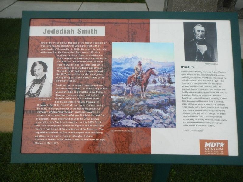
One of the most famous trappers of the Rocky Mountain fur trade era was Jedediah Smith, who came west with St. Louis trader William Ashley in 1822. He spent his first winter in Montana at the mouth of the Musselshell River about 100 miles northwest of here. Over the next decade, Smith trapped and explored the Great Plains and Rockies. He re-discovered the South Pass in Wyoming in 1824 and established overland routes to California and Oregon. The trails Smith and his comrades blazed in the 1820s served thousands of emigrants during the great overland migrations of the 1840s and 1850s.
Smith was no stranger to Montana. After wintering on the Musselshell, he explored the upper Missouri River and became well-acquainted with the Gallatin, Jefferson, and Madison rivers. Smith also worked his way through the Bitterroot, Big Hole, Clark Fork, and upper Flathead valleys. By 1828, he was part-owner of the Rocky Mountain Fur Company, which employed many legendary fur traders and trappers like Jim Bridger, Bill Sublette, and Tom Fitzpatrick. Trade opportunities with the Crow Indians eventually drew Smith to this region. In July 1825, Smith and 20 other trappers floated the Bighorn and Yellowstone rivers to Fort Union at the confluence of the Missouri. The expedition reached the fort in mid-August after sustaining an attack to the east of here by the Blackfeet Indians.
Comanche Indians killed Smith in what is now northern New Mexico in May 1831.
(Side-bar on right:)
Round Iron
American Fur Company bourgeois Robert Meldrum spent most of his long life working for the company and living among the Crow Indians. He entered the fur trade and went west as a clerk in 1827. The American Fur Company hired him as a liaison between it and the Crow Indians in 1833. He eventually left the company in 1835 and lived with the Crow people, taking several wives and rising to a position of influence in the tribe. Known as Round Iron (papásh Uuwatash), his ability to speak their language and his connections to the tribe made Meldrum a valuable asset to the company when he returned to the fur trade in 1840. Over the years, he managed several trading posts for the company, including both Fort Sarpys. An affable man, he had a reputation for civility that was countered by lax trading practices, irresponsibility, and a celebrated fondness for Crow women. Meldrum died at Fort Union in 1865.
Custer Circle Project
Erected by Montana Department of Transportation.
Topics. This historical marker is listed in this topic list: Exploration. A significant historical month for this entry is May 1831.
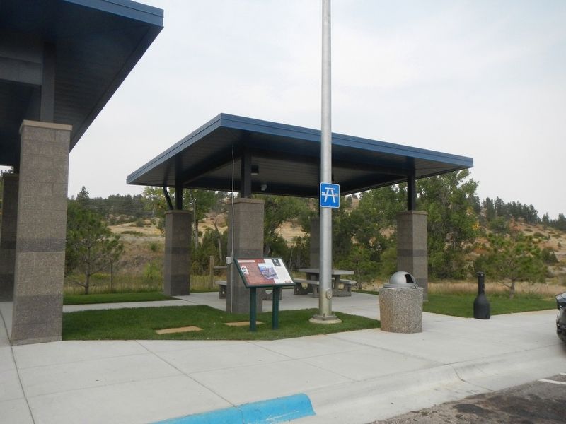
Location. 46° 13.125′ N, 107° 15.114′ W. Marker is in Hysham, Montana, in Treasure County. Marker can be reached from Interstate 94 at milepost 65 near Old U.S. Highway 312, on the right when traveling west. The marker is located at the Big Horn/Hysham Rest Area Westbound. Touch for map. Marker is in this post office area: Hysham MT 59038, United States of America. Touch for directions.
Other nearby markers. At least 7 other markers are within 11 miles of this marker, measured as the crow flies. Hysham and Treasure County (here, next to this marker); a different marker also named Jedediah Smith (within shouting distance of this marker); Pease Bottom Fight (approx. 4.8 miles away); Fort Pease (approx. 5.2 miles away); Yucca Theatre and David M. Manning Residence (approx. 5.2 miles away); Sanders Gymnasium (approx. 8.7 miles away); Tullock's Creek (approx. 10.2 miles away).
More about this marker. There is a duplicate of this marker at the Interstate 94 Big Horn/Hysham Rest Area Eastbound.
Credits. This page was last revised on October 3, 2023. It was originally submitted on January 22, 2021, by Barry Swackhamer of Brentwood, California. This page has been viewed 173 times since then and 18 times this year. Photos: 1, 2. submitted on January 22, 2021, by Barry Swackhamer of Brentwood, California.

