"Sycamore Hollow"
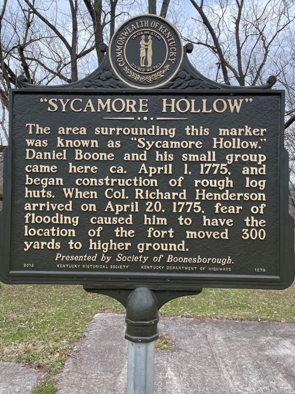
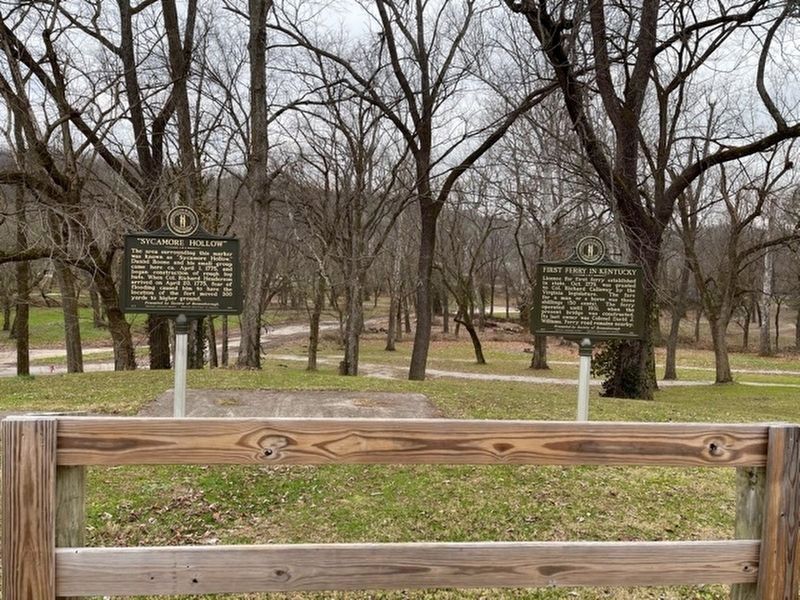
The area surrounding this marker was known as "Sycamore Hollow." Daniel Boone and his small group came here ca. April 1, 1775, and began construction of rough log huts. When Col. Richard Henderson arrived on April 20, 1775, fear of flooding caused him to have the location of the fort moved 300 yards to higher ground. Presented by Society of Boonesborough.
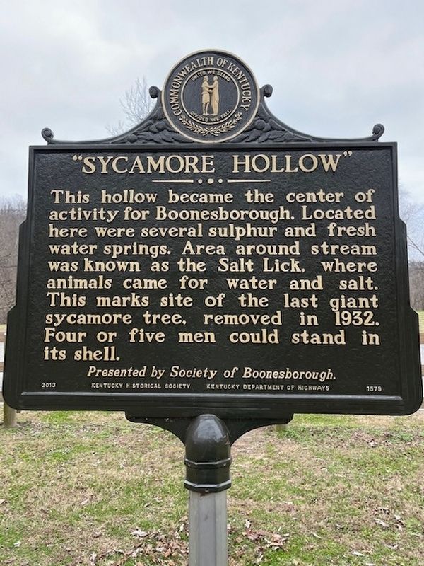
This hollow became the center of activity for Boonesborough. Located here were several sulphur and fresh water springs. Area around stream was known as the Salt Lick, where animals came for water and salt. This marks site of last giant sycamore tree, removed in 1932. Four or five men could stand in its shell. Presented by Society of Boonesborough.
Erected 2013 by Kentucky Historical Society, Kentucky Department of Highways; presented by Society of Boonesborough. (Marker Number 1579.)
Topics and series. This historical marker is listed in these topic lists: Colonial Era • Forts and Castles • Settlements & Settlers. In addition, it is included in the Kentucky Historical Society series list. A significant historical date for this entry is April 1, 1775.
Location. 37° 53.995′ N, 84° 15.961′ W. Marker is near Richmond, Kentucky, in Madison County. The Marker is near the old fort
Other nearby markers. At least 8 other markers are within walking distance of this marker. Daniel Boone's Trail (a few steps from this marker); Site of Fort Boonesborough 1775-1783 (within shouting distance of this marker); Fort Boonsborough Site (within shouting distance of this marker); "Divine Elm" (within shouting distance of this marker); Pioneer National Monument Association (within shouting distance of this marker); A Frontier Kidnapping (within shouting distance of this marker); Fort Boonesborough Revealed (within shouting distance of this marker); The Revolutionary War on the Frontier (within shouting distance of this marker). Touch for a list and map of all markers in Richmond.
Additional keywords. State Park, Trees, Springs, Daniel Booone
Credits. This page was last revised on January 23, 2021. It was originally submitted on December 22, 2020, by Frank Profitt of Georgetown, Kentucky. This page has been viewed 456 times since then and 70 times this year. Last updated on January 23, 2021, by Frank Profitt of Georgetown, Kentucky. Photos: 1, 2, 3. submitted on December 22, 2020, by Frank Profitt of Georgetown, Kentucky. • J. Makali Bruton was the editor who published this page.


