Near Meadows of Dan in Floyd County, Virginia — The American South (Mid-Atlantic)
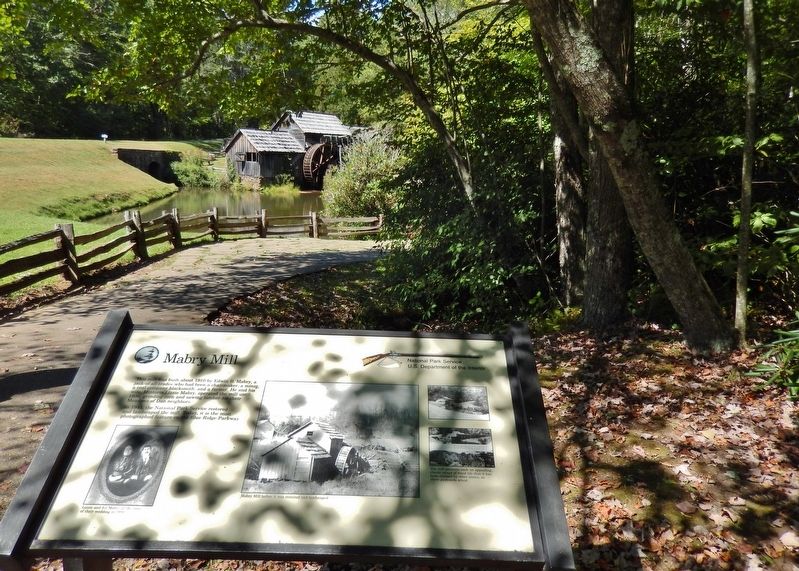
Mabry Mill
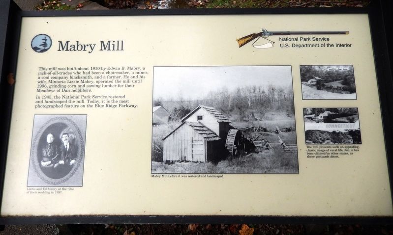
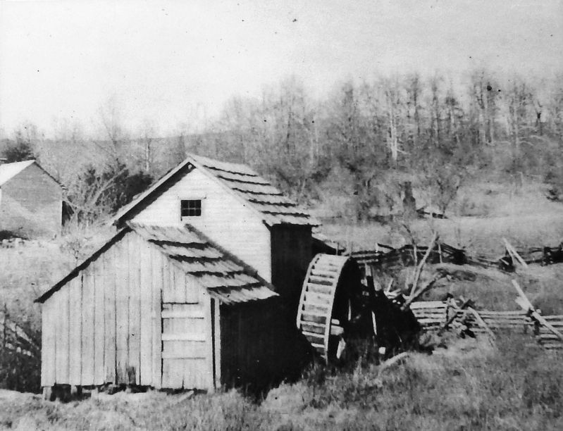
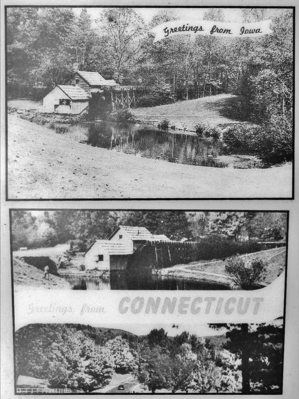
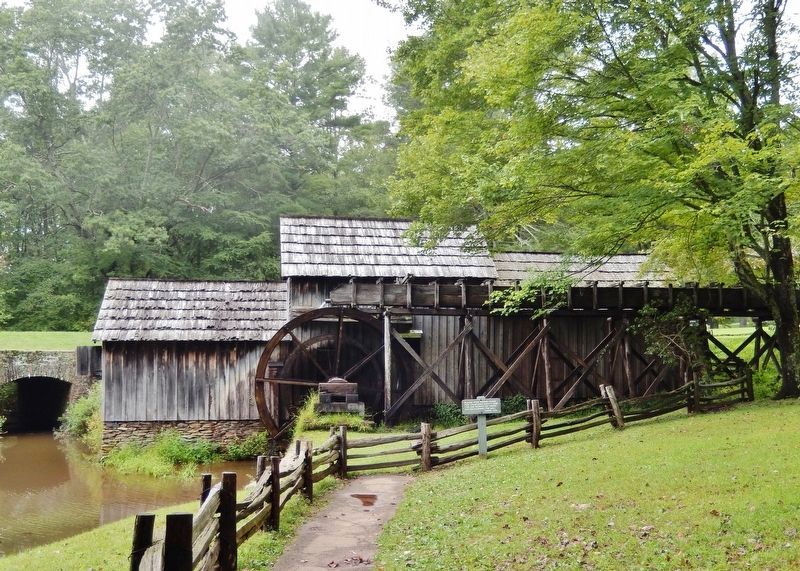
In 1945, the National Park Service restored and landscaped the mill. Today, it is the most photographed feature on the Blue Ridge Parkway.
Erected by National Park Service, U.S. Department of the Interior.
Topics and series. This historical marker is listed in these topic lists: Industry & Commerce • Landmarks • Parks & Recreational Areas • Settlements & Settlers. In addition, it is included in the Blue Ridge Parkway series list. A significant historical year for this entry is 1910.
Location. 36° 45.028′ N, 80° 24.338′ W. Marker is near Meadows of Dan, Virginia, in Floyd County. Marker can be reached from Blue Ridge Parkway (at milepost 176.2), 0.2 miles south of Mabry Mill Road SE (Virginia Route 603), on the left when traveling south. Marker is located along the walkway approaching Mabry Mill, at the north end of the restaurant and gift shop parking lot. Touch for map. Marker is at or near this postal address: 266 Mabry Mill Road SE, Meadows of Dan VA 24120, United States of America. Touch for directions.
Other nearby markers. At least 8 other markers are within walking distance of this marker. Rural Life In Appalachia (within shouting distance of this marker); A Versatile Mill (within shouting distance of this marker); Mill Stones (within shouting distance of this marker); Challenges (within shouting distance of this marker); Lumber Drying Rack (within shouting distance of this marker); Blacksmith Shop (about 300 feet away, measured in a direct line); Homemade Soap Recipe (about 300 feet away); Appalachian Houses (about 400 feet away). Touch for a list and map of all markers in Meadows of Dan.
Also see . . .
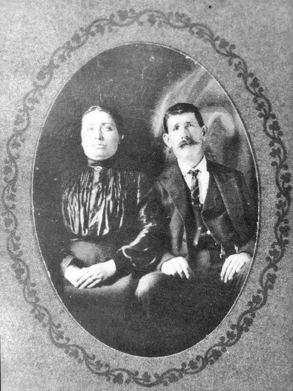
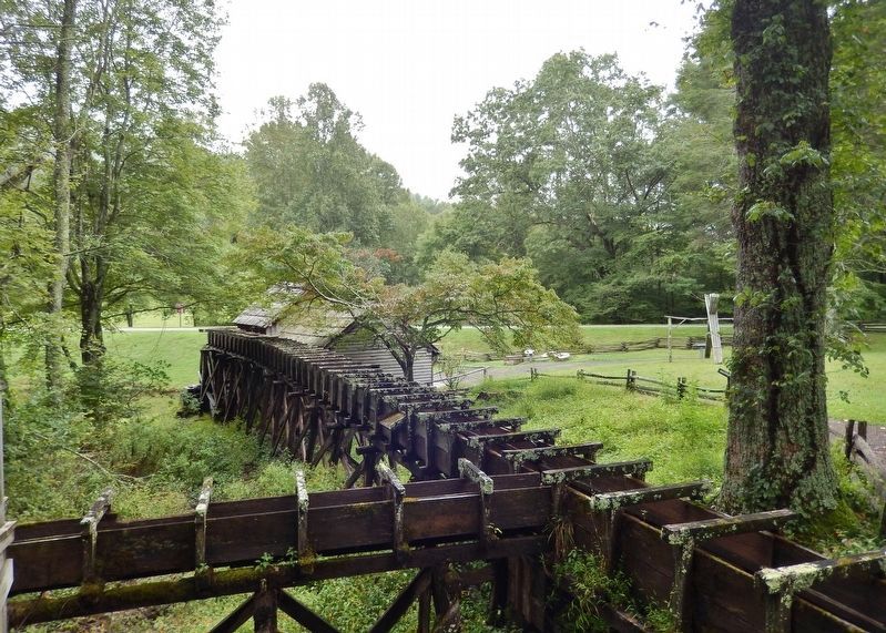
1. History of the Mabry Mill. Around 1905 Ed and his wife Lizzie Mabry set in motion actions to realize the dream of their own gristmill. With the help of a neighbor, Newton Hylton, they built the gristmill, waterwheel, and water supply flume system with hard work and hand tools. By 1908 the gristmill was in operation and people from as far away as eight miles were bringing their corn to be ground. By this time Ed Mabry was ready to move on to his next project which was to build a sawmill on the left side of the gristmill. (Submitted on January 23, 2021, by Cosmos Mariner of Cape Canaveral, Florida.)
2. Mabry Mill (Wikipedia). By 1910 the front part of the mill was completed and included a lathe for turning out wheel hubs, a tongue and groove lathe, a planer and a jig-saw. Between 1905 and 1914 E.B. Mabry bought adjacent tracts of land, mostly for the purpose of acquiring more water power. (Submitted on January 23, 2021, by Cosmos Mariner of Cape Canaveral, Florida.)
3. Mabry Mill: The History of A Twice Saved Beauty On The Parkway. Mabry was locally renowned as a man who could fix most anything, utilizing his skills as a blacksmith and wheelwright. Wagon wheels were his specialty. The rocky, eroded mountain roads shattered many a hub, splintered spokes and sprang ties loose from their rims. (Submitted on January 23, 2021, by Cosmos Mariner of Cape Canaveral, Florida.)
Credits. This page was last revised on January 23, 2021. It was originally submitted on January 23, 2021, by Cosmos Mariner of Cape Canaveral, Florida. This page has been viewed 400 times since then and 28 times this year. Photos: 1, 2, 3, 4, 5, 6, 7, 8. submitted on January 23, 2021, by Cosmos Mariner of Cape Canaveral, Florida.
