Bighorn in Treasure County, Montana — The American West (Mountains)
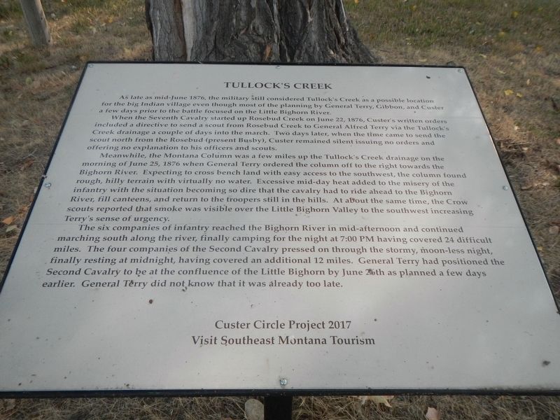
Tullock's Creek
When the Seventh Cavalry started up Rosebud Creek on June 22, 1876, Custer's written orders included a directive to send a scout from Rosebud Creek to General Alfred Terry via the Tullock's Creek drainage a couple of days into the march. Two days later, when the time came to send the scout north from the Rosebud (present Busby), Custer remained silent issuing no orders and offering no explanation to his officers and scouts.
Meanwhile, the Montana Column was a few miles up the Tullock's Creek drainage on the morning of June 25, 1876 when General Terry ordered the column off to the right towards the Bighorn River. Expecting to cross bench land with easy access to the southwest, the column found rough, hilly terrain with virtually no water. Excessive mid-day heat added to the misery of the infantry with the situation becoming so dire that the cavalry had to ride ahead to the Bighorn River, fill canteens, and return to the troopers still in the hills. At about the same time, the Crow scouts reported that smoke was visible over the Little Bighorn Valley to the southwest increasing Terry's sense of urgency.
The six companies of infantry reached the Bighorn River in mid-afternoon and continued marching south along the river, finally camping for the night at 7:00 PM having covered 24 difficult miles. The four companies of the Second Cavalry pressed on through the stormy, moon-less night, finally resting at midnight, having crossed an additional 12 miles. General Terry had positioned the Second Cavalry to be at the confluence of the Little Bighorn by June 25th as planned a few days earlier. General Terry did not know that it was already too late.
Erected by Custer Circle Project 2017 and Visit Southeast Montana Tourism.
Topics. This historical marker is listed in this topic list: Wars, US Indian.
Location. 46° 9.706′ N, 107° 26.893′ W. Marker is in Bighorn, Montana, in Treasure County. Marker is on Old Highway 10/Sitting Bull Avenue near Big Horn Road, on the left when traveling west. Touch for map. Marker is at or near this postal address: 138 Bighorn Road, Bighorn MT 59010, United States of America. Touch for directions.
Other nearby markers. At least 5 other markers are within 11 miles of this marker, measured as the crow flies. Crossing the Yellowstone (approx. 5˝ miles away); Pease Bottom Fight (approx. 8.1 miles away); Jedediah Smith (approx. 10.2 miles away); Hysham and Treasure County (approx. 10.2 miles away); a different marker also named Jedediah Smith (approx. 10.2 miles away).
Credits. This page was last revised on January 24, 2021. It was originally submitted on January 24, 2021, by Barry Swackhamer of Brentwood, California. This page has been viewed 290 times since then and 52 times this year. Photos: 1, 2. submitted on January 24, 2021, by Barry Swackhamer of Brentwood, California.

