Custer in Yellowstone County, Montana — The American West (Mountains)
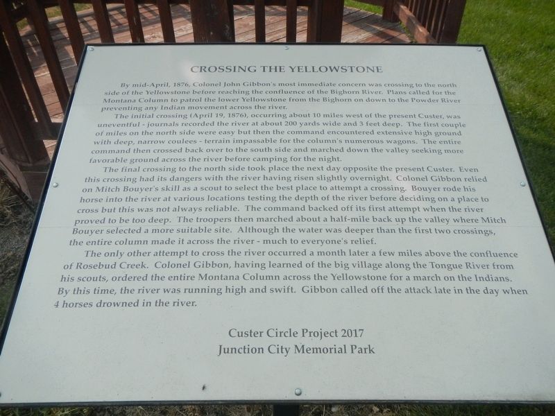
Crossing the Yellowstone
The initial crossing (April 19, 1876), occurred about 10 miles west of the present Custer, was uneventful - journals recorded the river at about 200 yards wide and 3 feet deep. The first couple of miles on the north side were easy but then the command encountered extensive high ground with deep, narrow coulees - terrain impassable for the column's numerous wagons. The entire command then crossed back over to the south side and marched down the valley seeking more favorable ground across the river before camping for the night.
The final crossing to the north side took place the next day opposite the present Custer. Even this crossing had its dangers with the river having risen slightly overnight. Colonel Gibbon relied on Mitch Bouyer's skill as a scout to select the best place to attempt a crossing. Bouyer rode his horse into the river at various locations testing the depth of the river before deciding on a place to cross but this was not always reliable. The command backed off its first attempt when the river proved to be too deep. The troopers then marched about a half-mile back up the valley where Mitch Bouyer selected a more suitable site. Although the water was deeper than the first two crossings, the entire column made it across the river - much to everyone's relief.
The only other attempt to cross the river occurred a month later a few miles above the confluence of Rosebud Creek. Colonel Gibbon, having learned of the big village along the Tongue River from his scouts, ordered Montana Column across the Yellowstone for a march on the Indians. By this time, the river was running high and swift. Gibbon called off the attack late in the day when 4 horses drowned in the river.
Erected by Custer Circle Project 2017 and Junction City Memorial Park.
Topics. This historical marker is listed in this topic list: Wars, US Indian.
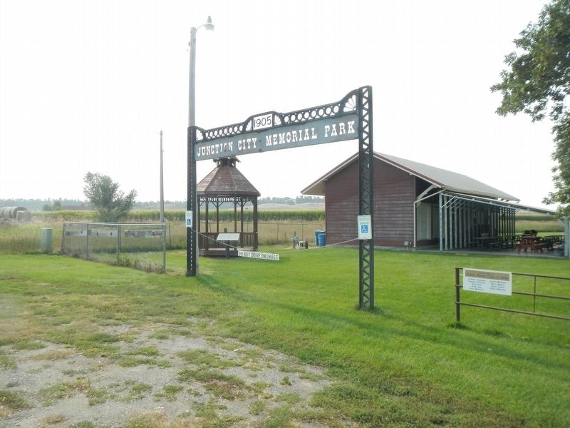
Location. 46° 7.557′ N, 107° 32.986′ W. Marker is in Custer, Montana, in Yellowstone County. Marker is on 8th Street near 4th Avenue, on the right when traveling south. The marker is located in Junction City Memorial Park. Touch for map. Marker is at or near this postal address: 304 8th Street, Custer MT 59024, United States of America. Touch for directions.
Other nearby markers. At least 6 other markers are within 14 miles of this marker, measured as the crow flies. Tullock's Creek (approx. 5˝ miles away); Buffalo Country
(approx. 5.8 miles away); The Great Highway of the Northwest: The Yellowstone Trail (approx. 5.9 miles away); Junction of Bighorn and Yellowstone Rivers (approx. 5.9 miles away); a different marker also named Junction of Bighorn and Yellowstone Rivers (approx. 8.8 miles away); Captain Ball's Scout (approx. 13.8 miles away).
Credits. This page was last revised on January 24, 2021. It was originally submitted on January 24, 2021, by Barry Swackhamer of Brentwood, California. This page has been viewed 283 times since then and 46 times this year. Photos: 1, 2. submitted on January 24, 2021, by Barry Swackhamer of Brentwood, California.

