Custer in Yellowstone County, Montana — The American West (Mountains)
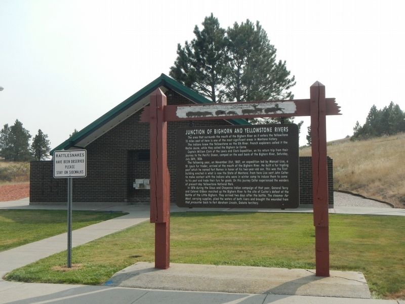
Junction of Bighorn and Yellowstone Rivers
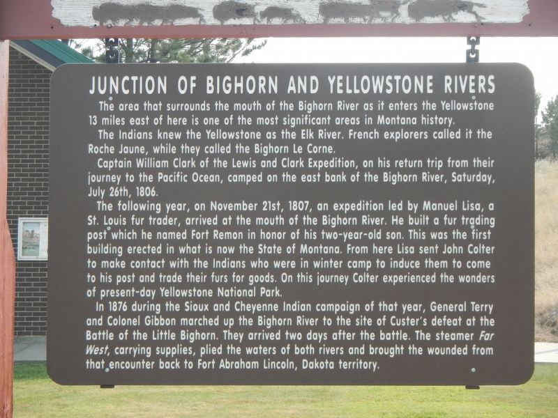
Inscription.
The area that surrounds the mouth of the Bighorn River as it enters the Yellowstone 13 miles east of here is one of the most significant areas in Montana history.
The Indians knew the Yellowstone as the Elk River. French explorers called it the Roche Jaune, while they called the Bighorn La Corner.
Captain William Clark of the Lewis and Clark Expedition, on his return trip from their journey to the Pacific Ocean, camped on the east bank of the Bighorn River, Saturday, July 26, 1806.
The following year, on November 21st, 1807, an expedition led by Manuel Lisa, a St. Louis fur trader, arrived at the mouth of the Bighorn River. He built a fur trading post which he named Fort Remon (Raymond) in honor of his two-year-old son. This was the first building erected in what is now the State of Montana. From here Lisa sent John Colter to make contact with the Indians who were in winter camp to induce them to come to his post and trade their furs for goods. On this journey Colter experienced the wonders of present-day Yellowstone National Park.
In 1876 during the Sioux and Cheyenne Indian campaign of that year, General Terry and Colonel Gibbon marched up the Bighorn River to the site of Custer's defeat at the Battle of the Little Bighorn. They arrived two days after the battle. The steamer Far West, plied the waters of both rivers and brought the wounded from the encounter back to Fort Abraham Lincoln, Dakota territory.
Erected by Montana Department of Transportation.
Topics and series. This historical marker is listed in these topic lists: Exploration • Wars, US Indian. In addition, it is included in the Lewis & Clark Expedition series list.
Location. 46° 5.39′ N, 107° 39.612′ W. Marker is in Custer, Montana, in Yellowstone County. Marker can be reached from Interstate 94 at milepost 41, on the right when traveling west. This marker is located at the Custer Rest Area Westbound. Touch for map. Marker is in this post office area: Custer MT 59024, United States of America. Touch for directions.
Other nearby markers. At least 5 other markers are within 12 miles of this marker, measured as the crow flies. The Great Highway of the Northwest: The Yellowstone Trail (here, next to this marker); Buffalo Country (a few steps from this marker); a different marker also named Junction of Bighorn and Yellowstone Rivers (approx. 3 miles away); Crossing the Yellowstone (approx. 5.9 miles away); Captain Ball's Scout (approx. 12 miles away).
Also see . . . Manuel Lisa's Fort Raymond -- Discovering Lewis & Clark. In the spring of 1807 Lisa led a party of 50 or
60 men (including Corps of Discovery veterans George Drouillard, John Potts, and Peter Wiser) upriver in two keelboats. On their way they met John Colter, who had left the Lewis and Clark expedition on its way home,... In mid-November the group reached the confluence of the Yellowstone and Bighorn Rivers, some twenty miles downstream from Pompeys Pillar, and began the construction of Fort Raymond, named after Lisa's infant son. (Submitted on January 24, 2021, by Barry Swackhamer of Brentwood, California.)
Credits. This page was last revised on January 24, 2021. It was originally submitted on January 24, 2021, by Barry Swackhamer of Brentwood, California. This page has been viewed 721 times since then and 131 times this year. Photos: 1, 2, 3. submitted on January 24, 2021, by Barry Swackhamer of Brentwood, California.


