Persian Gulf War Memorial
Powell County Supports
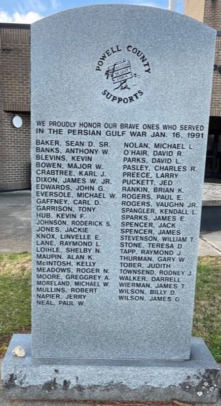
We proudly honor our brave ones who served in the Persian Gulf War Jan. 16, 1991
Baker, Sean D. Sr. •
Banks, Anthony W. •
Blevins, Kevin •
Bowen, Major W. •
Crabtree, Karl J. •
Dixon, James W. Jr. •
Edwards, John G. •
Eversole, Michael W. •
Gaffney, Carl D. •
Garrison, Tony •
Hub, Kevin F. •
Johnson, Roderick S. •
Jones, Jackie •
Knox, Linvelle E. •
Lane, Raymond L. •
Loihle, Shelby N. •
Maupin, Alan K. •
McIntosh, Kelly •
Meadows, Roger N. •
Moore, Greggrey A. •
Moreland, Michael W. •
Mullins, Robert •
Napier, Jerry •
Neal, Paul W. •
Nolan, Michael L. •
O'Hair, David R. •
Parks, David L. •
Palsey, Charles R. •
Preece, Larry •
Puckett, Jed •
Rankin, Brian K. •
Rogers, Paul E. •
Rogers, Vaughn Jr. •
Spangler, Kendall L. •
Sparks, James E. •
Spencer, Jack •
Spencer, James •
Stevenson, William T. •
Stone, Teresa D. •
Tapp, Raymond J. •
Thurman, Gary W. •
Tober, Judith •
Townsend, Rodney J. •
Walker, Darrell •
Wierman, James T. •
Wilson, Billy D. •
Wilson, James G. •
Topics. This memorial is listed in this topic list: War, 1st Iraq & Desert Storm.
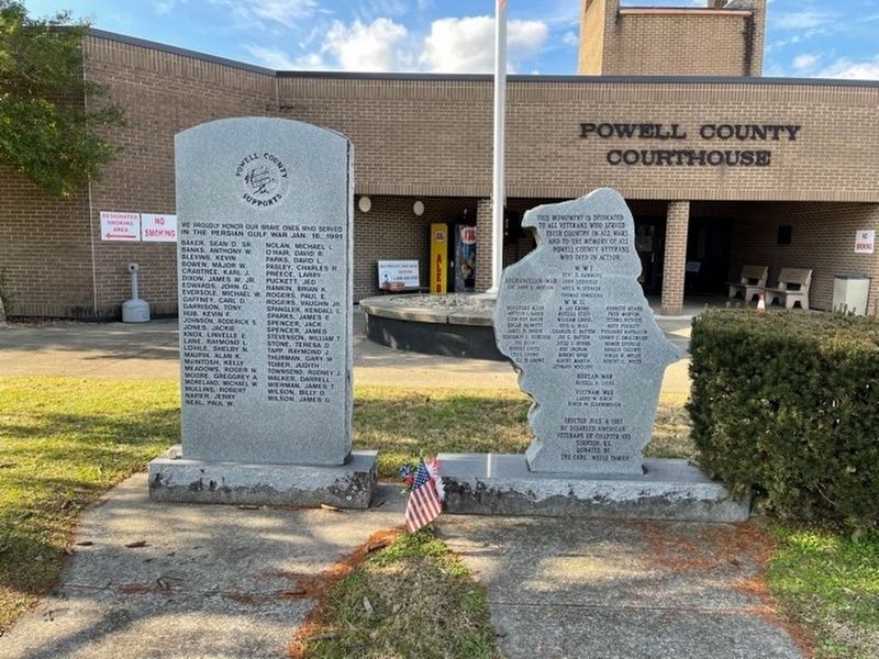
Location. 37° 51.181′ N, 83° 51.574′ W. Memorial is in Stanton, Kentucky, in Powell County. It is on Washington Street (Kentucky Route 2486) just north of Atkinson Street, on the left when traveling north. Touch for map. Memorial is at or near this postal address: 524 Washington St, Stanton KY 40380, United States of America. Touch for directions.
Regionally, this memorial is in The Knobs and in the Cumberland Plateau. It is also in the American South, specifically in the Upper South, in Appalachia, and specifically in Southern Appalachia. Globally, it is in North America, the Western Hemisphere, the Western World,
this page online
Other nearby markers. At least 8 other markers are within 7 miles of this marker, measured as the crow flies: War Memorial (here, next to this marker); Courthouse Burned (a few steps from this marker); County Named, 1852 (a few steps from this marker); Woody Stephens and Forty Niner (a few steps from this marker); Powell County Veterans Memorial (within shouting distance of this marker); Collecting Red River's History (approx. 3.4 miles away); Clay City Timber Industry / Early Iron Works (approx. 3.4 miles away); Pilot Knob (approx. 7 miles away). Touch for a list and map of all markers in Stanton.
Credits. This page was last revised on January 24, 2021. It was originally submitted on January 24, 2021, by Frank Profitt of Georgetown, Kentucky. This page has been viewed 338 times since then and 53 times this year. Photos: 1, 2. submitted on January 20, 2021, by Frank Profitt of Georgetown, Kentucky. • Devry Becker Jones was the editor who published this page.
