North Newport News , Virginia — The American South (Mid-Atlantic)
Largest and Most Valuable Estate in the County
Inscription.
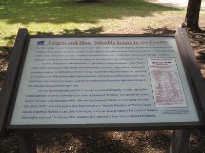
In 1844, Richard D. Lee inherited 481.5 acres from his father’s estate. For the next 16 years, Lee improved and expanded his land holdings until he owned 2,100 acres. In 1860, his farm yielded 2,900 bushels of wheat, 3,500 bushels of corn, 1,400 bushels of oats, 1,200 bushels of hay and truck crops. In addition, he owned 14 milk cows, 72 beef cattle, 35 sheep and 130 hogs. Lee was a successful scientific farmer who followed the agricultural practices of Edmund Ruffin and John Taylor.
By 1800, Tidewater soil was exhausted from generations of tobacco cultivation. John Taylor’s Arator (1813) discusses the rejuvenation of the soil through crop rotation, deep plowing, draining and enclosing livestock. In 1832, Edmund Ruffin’s “Essay on Calcareous Manures” details the use of marl for reversing soil acidity and harvesting higher yield crops. Richard Lee and Peninsula farmers practiced these new methods of cultivation, and they formed the Middle Plantation Agricultural Society for the promotion of scientific farming in 1860.
The Civil War brought destruction and ruin for Lee’s farm and property. In 1862, the Confederates destroyed 85 acres of wheat and tore down eight miles of his fences. Lee abandoned his land and did not return until September 1865. After the war, he placed 13 liens on his property and owed $30,000 by 1870. Local newspapers advertised the sale of a “Valuable Plantation, in Warwick County, late the property of Richard D. Lee … This is the largest and most valuable estate in the County of Warwick, and is highly improved.” In January 1871, William Henry Aspinwall of New York purchased the property.
Topics. This historical marker is listed in this topic list: War, US Civil. A significant historical month for this entry is January 1871.
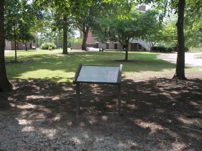
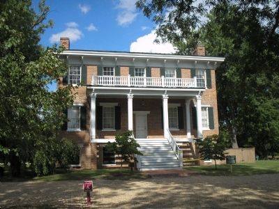
Location. 37° 11.981′ N, 76° 34.518′ W. Marker is in Newport News, Virginia. It is in North Newport News. Marker can be reached from Yorktown Road (Virginia Route 238), on the left when traveling north. Marker is located on the grounds of Lee Hall Mansion. Touch for map. Marker is in this post office area: Newport News VA 23603, United States of America. Touch for directions.
Other nearby markers. At least 8 other markers are within walking distance of this marker. An Earthwork In Front (within shouting distance of this marker); A Large Brick Kitchen (within shouting distance of this marker); Homestead by the Main Road (within shouting distance of this marker); Master and Slaves (within shouting distance of this marker); Lee Hall (about 400 feet away, measured in a direct line); a different marker also named Lee Hall (about 600 feet away); Lee Hall Village (approx. 0.4 miles away); C&O "Peninsula Extension" (approx. 0.4 miles away). Touch for a list and map of all markers in Newport News.


