Refugio in Refugio County, Texas — The American South (West South Central)
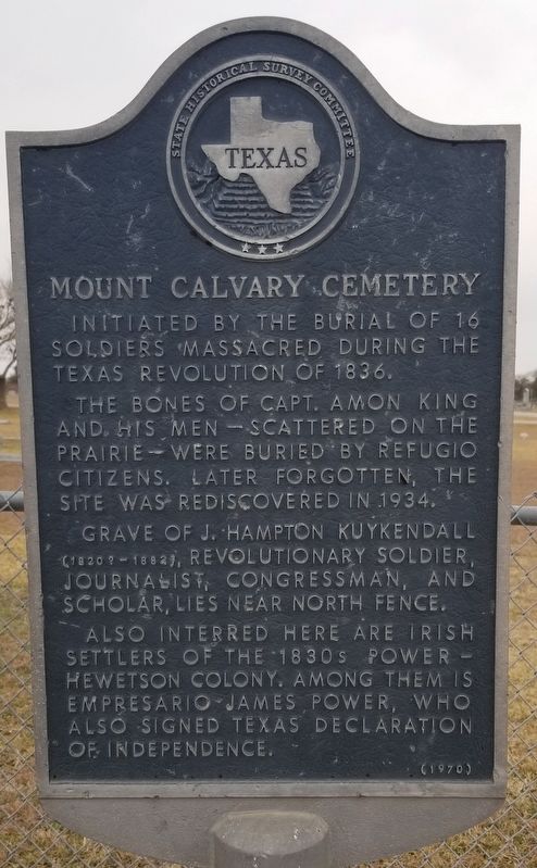
Mount Calvary Cemetery
Initiated by the burial of 16 soldiers massacred during the Texas revolution of 1836. The bones of Capt. Amon King and his men - scattered on the Prairie - were buried by Refugio citizens. Later forgotten, the site was rediscovered in 1934. Grave of J. Hampton Kuykendall (1820?-1882), revolutionary soldier, journalist, congressman, and scholar, lies near north fence. Also interred here are Irish settlers of the 1830s Power-Hewetson Colony. Among them is Empresario James Power, who also signed Texas declaration of Independence.
Erected 1970 by State Historical Survey Committee. (Marker Number 3488.)
Topics. This historical marker is listed in these topic lists: Cemeteries & Burial Sites • War, Texas Independence. A significant historical year for this entry is 1836.
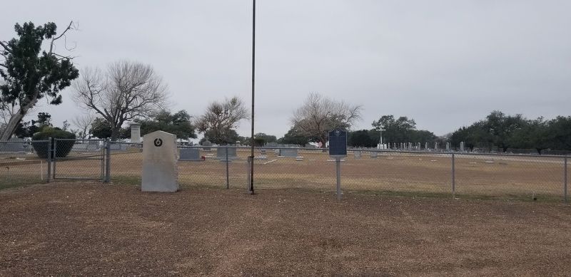
Location. 28° 18.141′ N, 97° 16.902′ W. Marker is in Refugio, Texas, in Refugio County. Marker is on Santiago Street, 0.1 miles west of Elm Street, on the left when traveling west. The marker is located at the entrance to the Mount Calvary Cemetery. Touch for map. Marker is in this post office area: Refugio TX 78377, United States of America. Touch for directions.
Other nearby markers. At least 8 other markers are within walking distance of this marker. Captain Amon B. King and His Men (here, next to this marker); King's Men Memorial (about 300 feet away, measured in a direct line); King's Men Buried Here (about 400 feet away); Site of the Home of Captain Ira Westover (approx. half a mile away); Refugio City Hall (approx. half a mile away); Sally Scull (approx. half a mile away); Empresario James Power (approx. half a mile away); Refugio County (approx. half a mile away). Touch for a list and map of all markers in Refugio.
Also see . . . Amon Butler King (1807–1836). Amon Butler King (sometimes mistakenly called Aaron B. King), to whom Col. James W. Fannin, Jr., entrusted the disastrous evacuation of Refugio during the Goliad Campaign of 1836, was born in Baltimore, Maryland, in 1807, the son of John and Mary Ann (Butler) King. Source: The Handbook of Texas (Submitted on January 25, 2021, by James Hulse of Medina, Texas.)
Credits. This page was last revised on January 25, 2021. It was originally submitted on January 25, 2021, by James Hulse of Medina, Texas. This page has been viewed 241 times since then and 22 times this year. Photos: 1, 2. submitted on January 25, 2021, by James Hulse of Medina, Texas. • J. Makali Bruton was the editor who published this page.

