Near Auburn in Logan County, Kentucky — The American South (East South Central)
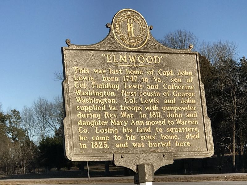
"Elmwood"
Erected 1977 by Kentucky Historical Society and Kentucky Department of Transportation. (Marker Number 1623.)
Topics and series. This historical marker is listed in these topic lists: Architecture • Cemeteries & Burial Sites • War, US Revolutionary. In addition, it is included in the Kentucky Historical Society series list. A significant historical year for this entry is 1747.
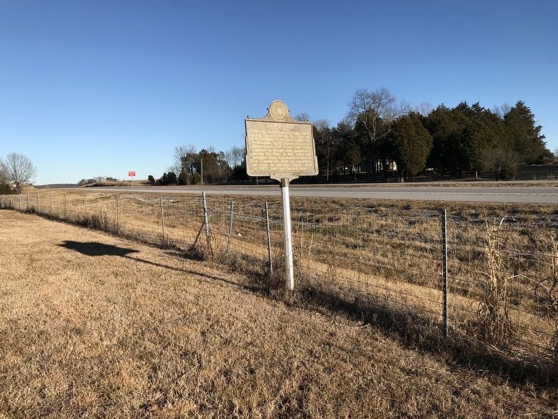
Location. 36° 50.949′ N, 86° 46.648′ W. Marker is near Auburn, Kentucky, in Logan County. Marker is on West Thomason Road east of Elmwood Road, on the left when traveling west. Marker is also visible on the westbound side of U.S. 68. Touch for map. Marker is in this post office area: Auburn KY 42206, United States of America. Touch for directions.
Other nearby markers. At least 8 other markers are within 6 miles of this marker, measured as the crow flies. Rev. Valentine Cook (1763-1822) (approx. 3.7 miles away); Revolutionary War Widow (approx. 4.8 miles away); Origin of Federal Highway U.S. 79 (approx. 4.8 miles away); Cedar House (approx. 5.2 miles away); Tom Rhea Highway No. 100 (approx. 5.2 miles away); McCutchen Meadows (approx. 5˝ miles away); John Littlejohn Cemetery (approx. 5.7 miles away); Ken Barrett Field (approx. 5.9 miles away).
Credits. This page was last revised on January 25, 2021. It was originally submitted on January 25, 2021, by Duane and Tracy Marsteller of Murfreesboro, Tennessee. This page has been viewed 285 times since then and 15 times this year. Last updated on January 25, 2021, by Bradley Owen of Morgantown, West Virginia. Photos: 1, 2, 3. submitted on January 25, 2021, by Duane and Tracy Marsteller of Murfreesboro, Tennessee. • J. Makali Bruton was the editor who published this page.


