Riviera in Kleberg County, Texas — The American South (West South Central)
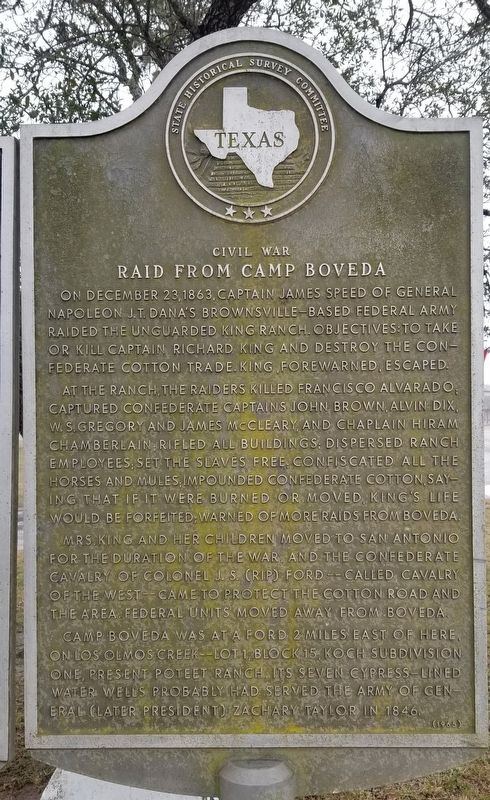
Civil War Raid From Camp Boveda
On December 23, 1863, Capt. James Speed of General Napoleon J.T. Dana's Brownsville-based Federal Army force raided unguarded King Ranch. Objectives: to capture or kill Captain Richard King and destroy the Confederate cotton trade. King, forewarned, escaped.
At King Ranch, the raiders killed Francisco Alvarado; captured Confederate Captains John Brown, Alvin Dix, W.S. Gregory and James McClearly, and Chaplain Hiram Chamberlain; rifled all buildings; dispersed ranch employees; set the slaves free; confiscated all horses and mules; impounded Confederate cotton, saying that if it were burned or moved, King's life would be forfeited; warned of more raids from Boveda.
Mrs. King and children moved to San Antonio for the duration of the war, and the Confederate cavalry of Colonel J.S. (Rip) Ford - Called Cavalry of the West - came to protect the cotton road and the area. Federal units moved away from Boveda.
Camp Boveda was at a ford 2 miles east of here, on Los Olmos Creek - Lot 1, Block 15, Koch Subdivision One, present Poteet Ranch. Its seven Cypress-lined water wells probably had served the Army of General (Later President) Zachary Taylor in 1846.
Erected 1965 by State Historical Survey Committee. (Marker Number 1584.)
Topics. This historical marker is listed in these topic lists: War, Mexican-American • War, US Civil. A significant historical date for this entry is December 23, 1863.
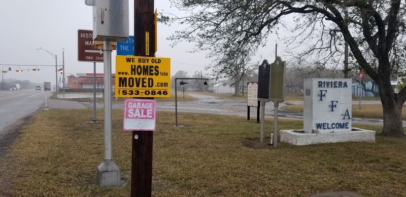
Location. 27° 17.916′ N, 97° 48.897′ W. Marker is in Riviera, Texas, in Kleberg County. Marker is at the intersection of U.S. 77 and East South Boulevard, on the left when traveling south on U.S. 77. Touch for map. Marker is in this post office area: Riviera TX 78379, United States of America. Touch for directions.
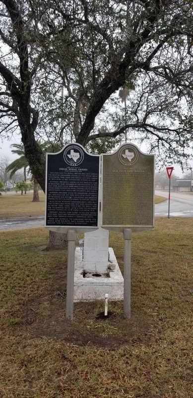
Other nearby markers. At least 8 other markers are within 6 miles of this marker, measured as the crow flies. Indian Burial Ground (here, next to this marker); Riviera United Methodist Church (approx. 0.2 miles away); Riviera Cemetery (approx. 0.4 miles away); 1766 Exploration of Diego Ortiz Parilla (approx. 3.9 miles away); U.S. Army March to Rio Grande, 1846 (approx. 3.9 miles away); Riviera - 1687 (approx. 5½ miles away); Kenedy County (approx. 5½ miles away); Kenedy County Courthouse Construction (approx. 5½ miles away). Touch for a list and map of all markers in Riviera.
Also see . . . King Ranch. The 825,000-acre King Ranch covers nearly 1,300 square miles, an area larger than the entire state of Rhode Island, on four separate Divisions of land known as Santa Gertrudis, Laureles, Norias, and Encino. These four Divisions are located in six South Texas counties: Brooks,
Jim Wells, Kenedy, Kleberg, Nueces, and Willacy. The Ranch had its beginning in 1852, when Richard King and Gideon K. Lewis set up a cattle camp on Santa Gertrudis Creek in South Texas. Formal purchase began in 1853, when they bought a Spanish land grant, Rincón de Santa Gertrudis, of 15,500 acres on Santa Gertrudis Creek in Nueces County. Source: The Handbook of Texas (Submitted on January 25, 2021, by James Hulse of Medina, Texas.)
Credits. This page was last revised on February 22, 2022. It was originally submitted on January 25, 2021, by James Hulse of Medina, Texas. This page has been viewed 412 times since then and 74 times this year. Photos: 1. submitted on January 25, 2021, by James Hulse of Medina, Texas. 2, 3. submitted on January 26, 2021, by James Hulse of Medina, Texas. • J. Makali Bruton was the editor who published this page.


