Tecumseh in Lenawee County, Michigan — The American Midwest (Great Lakes)
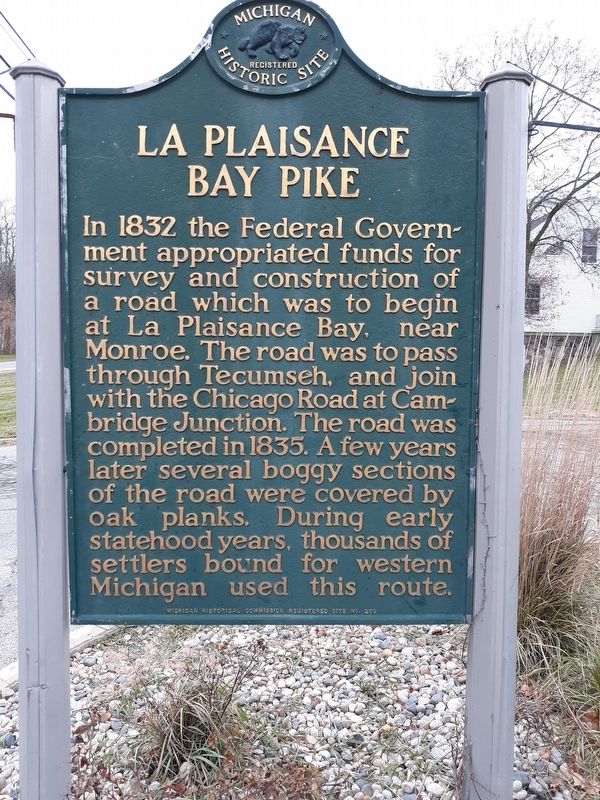
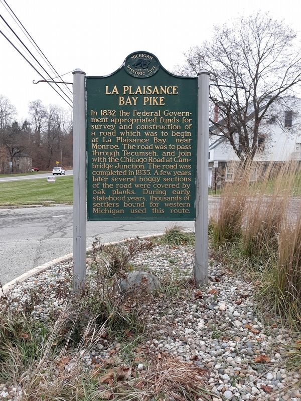
La Plaisance Bay Pike
Erected by Michigan Historical Commission. (Marker Number 269.)
Topics and series. This historical marker is listed in this topic list: Roads & Vehicles. In addition, it is included in the Michigan Historical Commission series list. A significant historical year for this entry is 1832.
Location. 42° 0.264′ N, 83° 56.007′ W. Marker is in Tecumseh, Michigan, in Lenawee County. Marker is on East Chicago Boulevard (State Highway 50) west of Rogers Highway, on the right when traveling west. Touch for map. Marker is in this post office area: Tecumseh MI 49286, United States of America. Touch for directions.
Other nearby markers. At least 8 other markers are within walking distance of this marker. Evans House (approx. 0.3 miles away); Ray Wesley Herrick (approx. 0.4 miles away); Bertha Lapointe - Carriage Stone (approx. 0.4 miles away); Tecumseh Historical Mural (approx. 0.7 miles away); Location of First House in Lenawee County (approx. 0.8 miles away); First Area In Lenawee County With A Civil War Monument (approx. one mile away); Civil War Soldiers' Monument (approx. one mile away); Vietnam Veterans Memorial (approx. one mile away). Touch for a list and map of all markers in Tecumseh.
Credits. This page was last revised on January 28, 2021. It was originally submitted on January 26, 2021, by Craig Doda of Napoleon, Ohio. This page has been viewed 169 times since then and 12 times this year. Photos: 1, 2. submitted on January 26, 2021, by Craig Doda of Napoleon, Ohio. • J. Makali Bruton was the editor who published this page.

