Brownsville in Cameron County, Texas — The American South (West South Central)
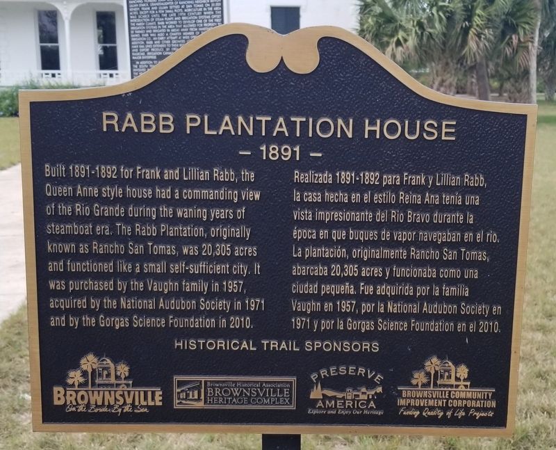
Rabb Plantation House
- 1891 -
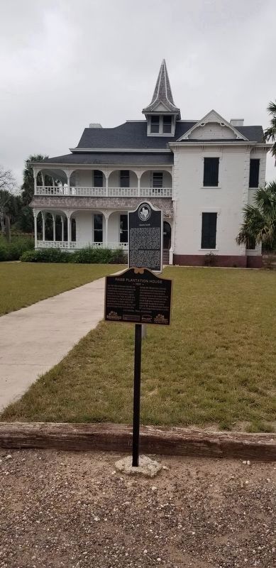
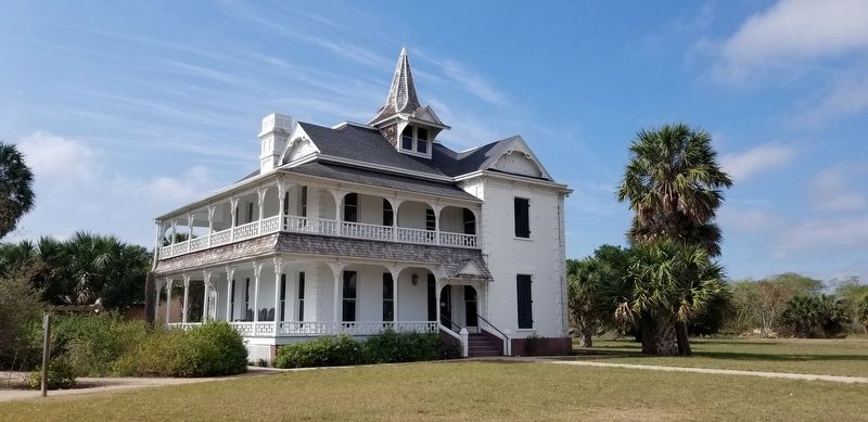
Built 1891-1892 for Frank and Lillian Rabb, the Queen Anne style house had a commanding view of the Rio Grande during the waning years of steamboat era. The Rabb Plantation, originally known as Rancho San Tomas, was 20,305 acres and functioned like a small self-sufficient city. It was purchased by the Vaughn family in 1957, acquired by the National Audubon Society in 1971 and by the Gorgas Science Foundation in 2010.
Realizada 1891-1892 para Frank y Lillan Rabb, la casa hecha en el estilo Reina Ana tenía una vista impresionante del Rio Bravo durante la época en que buques de vapor navegaban en el rio. La plantación, originalmente Rancho San Tomas, abarcaba 20,305 acres y funcionaba como una ciudad pequeña. Fue adquirida por la familia Vaughn en 1957, por la National Audubon Society en 1971 y por la Gorgas Science Foundation en el 2010.
Brownsville - On the Border By the Sea
Brownsville Historical Association - Brownsville Heritage Complex
Preserve America - Explore and Enjoy our Heritage
Brownsville Community Improvement Corporation - Funding Quality of Life Projects
Topics. This historical marker is listed in these topic lists: Architecture • Industry & Commerce • Parks & Recreational Areas. A significant historical year for this entry is 1957.
Location. 25° 51.145′ N, 97° 25.045′ W. Marker is in Brownsville, Texas, in Cameron County. Marker is on Sabal Palm Grove Road, one mile south of Southmost Boulevard (Farm to Market Road 1419), on the right when traveling south. Touch for map. Marker is at or near this postal address: 8435 Sabal Palm Grove Road, Brownsville TX 78521, United States of America. Touch for directions.
Other nearby markers. At least 8 other markers are within 6 miles of this marker, measured as the crow flies. Frank Rabb (here, next to this marker); Rabb Plantation (here, next to this marker); Fort Brown Cavalry Barracks (approx. 5.4 miles away); Cavalry Building (approx. 5.4 miles away); Commissary (approx. 5.6 miles away); Fort Brown Commissary / Guardhouse Comisaria y Casa de la Guardia del Fuerte Brown (approx. 5.6 miles away); Fort Brown Commissary/Guardhouse (approx. 5.6 miles away); African American Troops at Fort Brown (approx. 5.6 miles away). Touch for a list and map of all markers in Brownsville.
Credits. This page was last revised on January 26, 2021. It was originally submitted on January 26, 2021, by James Hulse of Medina, Texas. This page has been viewed 390 times since then and 68 times this year. Photos: 1, 2, 3. submitted on January 26, 2021, by James Hulse of Medina, Texas. • J. Makali Bruton was the editor who published this page.


