Near Pine Plains in Columbia County, New York — The American Northeast (Mid-Atlantic)
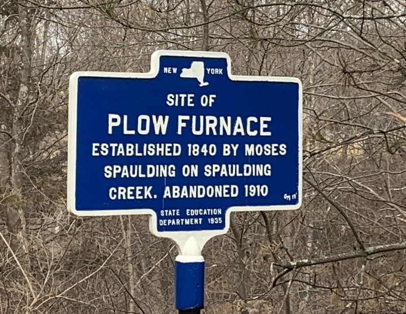
Plow Furnace
Photographed by Steve Stoessel, February 16, 2020
1. Plow Furnace Marker
Plow Furnace
established 1840 by Moses
Spaulding on Spaulding
Creek. Abandoned 1910
Erected 1935 by State Education Department.
Topics. This historical marker is listed in this topic list: Industry & Commerce. A significant historical year for this entry is 1840.
Location. 42° 1.53′ N, 73° 41.678′ W. Marker is near Pine Plains, New York, in Columbia County. It is on County Route 7 0.1 miles south of County Route 11, on the right when traveling north. Touch for map. Marker is in this post office area: Pine Plains NY 12567, United States of America. Touch for directions.

Regionally, this marker is in Upstate New York and in the Hudson Valley. It is also in the American Northeast and in the Mid-Atlantic. Globally, it is in North America, the Western Hemisphere, the Western World, and the Anglosphere. Historically, it finds itself in what was once New Netherland and also one of the original Thirteen Colonies.
Other nearby markers. At least 8 other markers are within 2 miles of this marker, measured as the crow flies: Church Cemetery (approx. 0.6 miles away); Dings Cemetery (approx. ¾ mile away);
this page online
Photographed by Steve Stoessel
2. Plow Furnace Marker
Photographed by Steve Stoessel, February 16, 2020
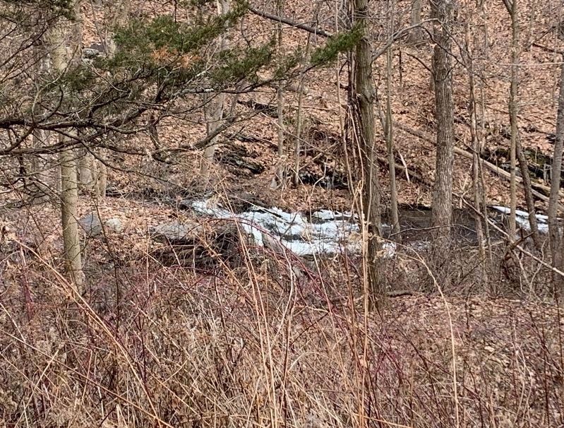
3. Spaulding Creek Behind Marker
Credits. This page was last revised on January 29, 2021. It was originally submitted on February 17, 2020, by Steve Stoessel of Niskayuna, New York. This page has been viewed 361 times since then and 40 times this year. Last updated on January 26, 2021, by Bradley Owen of Morgantown, West Virginia. Photos: 1, 2, 3. submitted on February 17, 2020, by Steve Stoessel of Niskayuna, New York. • Bill Pfingsten was the editor who published this page.
