Brownsville in Cameron County, Texas — The American South (West South Central)
Brownsville-Matamoros Ferries and River Boardwalk
Inscription.
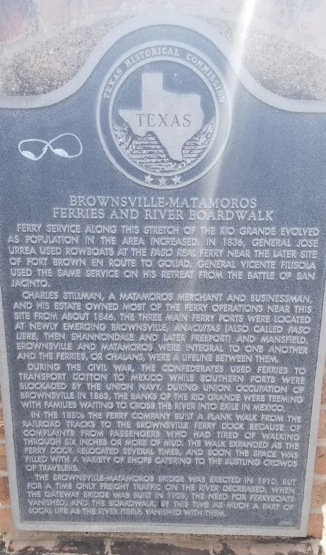
Ferry service along this stretch of the Rio Grande evolved as population in the area increased. In 1836, General Jose Urrea used rowboats at the Paso Real ferry near the later site of Fort Brown en route to Goliad. General Vicente Filisola used the same service on his retreat from the Battle of San Jacinto.
Charles Stillman, a Matamoros merchant and businessman, and his estate owned most of the ferry operations near this site from about 1846. The three main ferry ports were located at newly emerging Brownsville, Anacuitas (also called Paso Libre, then Shannondale and later Freeport) and Mansfield. Brownsville and Matamoros were integral to one another and the ferries, or chalans, were a lifeline between them.
During the Civil War, the Confederates used ferries to transport cotton to Mexico while southern ports were blockaded by the Union Navy. During Union occupation of Brownsville in 1863, the banks of the Rio Grande were teeming with families waiting to cross the river into exile in Mexico.
In the 1880s the ferry company built a plank walk from the railroad tracks to the Brownsville ferry dock because of complaints from passengers who had tired of walking through six inches or more of mud. The walk expanded as the ferry dock relocated several times, and soon the space was filled with a variety of shops catering to the bustling crowds of travelers.
The Brownsville-Matamoros bridge was erected in 1910, but for a time only freight traffic on the river decreased. When the gateway bridge was built in 1928, the need for ferryboats vanished, and the boardwalk, by this time as much a part of local life as the river itself, vanished with them.
Erected 2000 by Texas Historical Commission. (Marker Number 12366.)
Topics. This historical marker is listed in these topic lists: Industry & Commerce • Waterways & Vessels. A significant historical year for this entry is 1836.
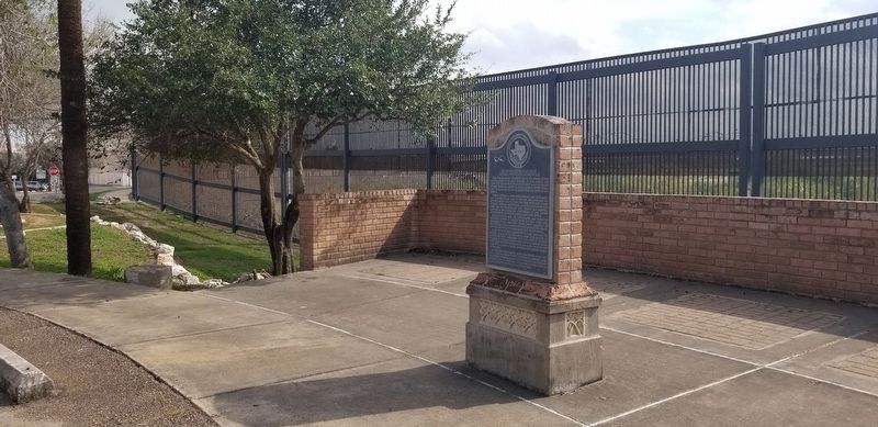
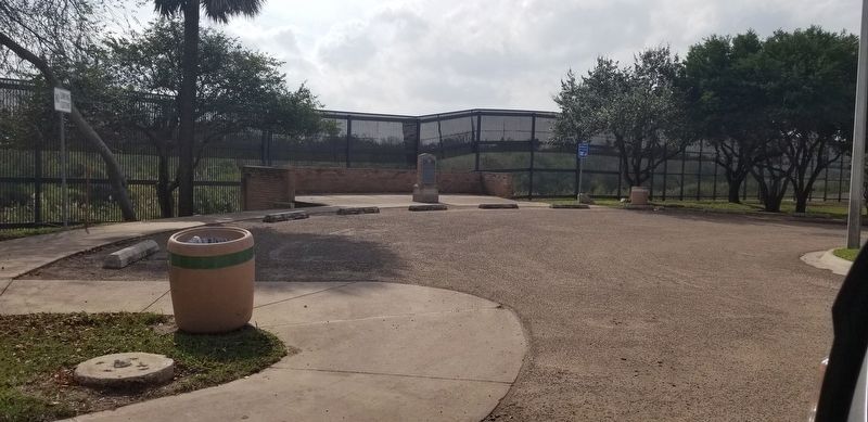
Location. 25° 53.941′ N, 97° 29.962′ W. Marker is in Brownsville, Texas, in Cameron County. Marker can be reached from the intersection of Sam Perl Boulevard and East St. Charles Street. The marker is located in the Alice Wilson Hope Park. Touch for map. Marker is in this post office area: Brownsville TX 78520, United States of America. Touch for directions.
Other nearby markers. At least 8 other markers are within walking distance of this marker. The Chisholm Trail (a few steps from this marker); San Roman Building (approx. 0.2 miles away); San Román Building (approx. 0.2 miles away); Bollack Department Store (approx. 0.2 miles away); Federal Court Site (approx. 0.2 miles away); Celaya Building (approx. 0.2 miles away); Brownsville Home of Charles Stillman
(approx. ¼ mile away); Bagdad-Matamoros, C.S.A. (approx. ¼ mile away). Touch for a list and map of all markers in Brownsville.
Also see . . . Brownsville, Texas. Brownsville, the county seat of Cameron County, is across the Rio Grande from Matamoros, Tamaulipas, at the southernmost tip of Texas. The city is at the southern terminus of U.S. highways 77 and 83 and the Missouri Pacific and Southern Pacific railroads, as well as a major port of entry to Mexico. Although the site was explored as early as the seventeenth century, the first settlers did not arrive until the latter part of the eighteenth century. In 1765 the community of San Juan de los Esteros (present-day Matamoros) was established across the Rio Grande. In 1781 Spanish authorities granted fifty-nine leagues of land on the northern bank of the river, including all of the site of Brownsville, to José Salvador de la Garza, who established a ranch about sixteen miles northwest of the site. During the early nineteenth century a small number of squatters, most of them herders and farmers from Matamoros, built huts in the area. Source: The Handbook of Texas (Submitted on January 26, 2021, by James Hulse of Medina, Texas.)
Credits. This page was last revised on January 27, 2021. It was originally submitted on January 26, 2021, by James Hulse of Medina, Texas. This page has been viewed 302 times since then and 51 times this year. Photos: 1, 2, 3. submitted on January 26, 2021, by James Hulse of Medina, Texas. • J. Makali Bruton was the editor who published this page.


