Cumberland Township near Gettysburg in Adams County, Pennsylvania — The American Northeast (Mid-Atlantic)
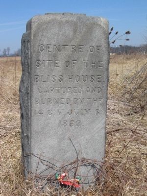
Site of the Bliss House
14th Connecticut
Erected 1884.
Topics. This historical marker is listed in this topic list: War, US Civil. A significant historical month for this entry is July 1625.
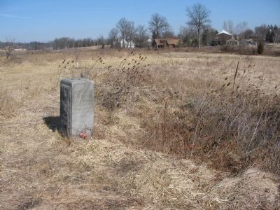
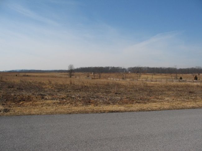
Location. 39° 49.013′ N, 77° 14.513′ W. Marker is near Gettysburg, Pennsylvania, in Adams County. It is in Cumberland Township. Marker can be reached from Long Lane, on the left when traveling west. Located near the site of the Bliss farm in Gettysburg National Military Park. Touch for map. Marker is in this post office area: Gettysburg PA 17325, United States of America. Touch for directions.
Other nearby markers. At least 8 other markers are within walking distance of this marker. 1st Regiment Delaware Volunteers (here, next to this marker); 12th New Jersey Volunteers (within shouting distance of this marker); 14th Regiment Connecticut Volunteers (within shouting distance of this marker); 8th Ohio Infantry (approx. ¼ mile away); United States Army Tank Corps (approx. ¼ mile away); Camp Colt: The Tank Corps (approx. ¼ mile away); Holding Their Line (approx. ¼ mile away); Companies G and I, 4th Ohio Infantry (approx. 0.3 miles away). Touch for a list and map of all markers in Gettysburg.
Related markers. Click here for a list of markers that are related to this marker. 14th Connecticut at Gettysburg.
Also see . . . Fury at the Bliss Farm. Article from America's Civil War by John M. Archer. (Submitted on March 1, 2009, by Craig Swain of Leesburg, Virginia.)
Credits. This page was last revised on February 7, 2023. It was originally submitted on March 1, 2009, by Craig Swain of Leesburg, Virginia. This page has been viewed 1,291 times since then and 39 times this year. Photos: 1, 2, 3. submitted on March 1, 2009, by Craig Swain of Leesburg, Virginia.


