Near Worden in Yellowstone County, Montana — The American West (Mountains)
Clark's Canoe Camp on the Yellowstone, Archaeology Study
Inscription.
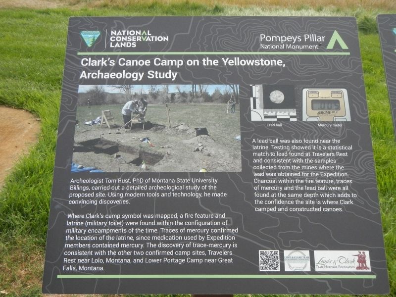
Archaeologist Tom Rust, PhD of Montana State University Billings, carried out a detailed archaeological study of the proposed site. Using Modern tools and technology, he made convincing discoveries.
Where Clark's camp symbol was mapped, a fire feature and latrine (military toilet) were found with the configuration of military encampments of the time. Traces of mercury confirmed the location of the latrine, since medication used by Expedition members contained mercury. The discovery of trace-mercury is consistent with the other two confirmed camp sites, Travelers Rest near Lolo, Montana, and Lower Portage near Great Falls, Montana.
A lead ball was also found near the latrine. Testing showed it is a statistical match to lead found at Travelers Rest and consistent with the samples collected from the mines where lead was obtained for the Expedition. Charcoal within the fire feature, traces of mercury and the lead ball were all found at the same depth, which added to the confidence the is where Clark camped and constructed canoes.
Erected by Bureau of Land Management and National Conservation Lands.
Topics and series. This historical marker is listed in these topic lists: Exploration • Waterways & Vessels . In addition, it is included in the Lewis & Clark Expedition series list.
Location. 45° 59.692′ N, 108° 0.165′ W. Marker is near Worden, Montana, in Yellowstone County. Marker can be reached from State Highway 312 near South 31st Road, on the right when traveling west. This marker is on The "Yellowstone River" Walkway at Pompeys Pillar National Monument. Touch for map. Marker is at or near this postal address: 3001 Highway 312, Worden MT 59088, United States of America. Touch for directions.
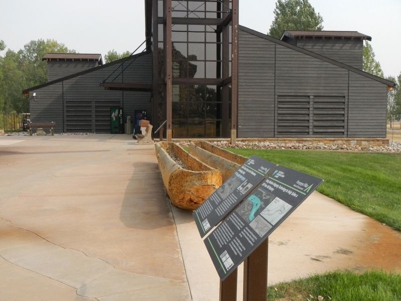
Other nearby markers. At least 8 other markers are within walking distance of this marker. Using Modern Mapping Technology to Help Solve a 200 Year-Old Mystery (here, next to this marker); Injury Forces a Halt to Build Canoes (here, next to this marker); Preparations of Continuing the Trip (here, next to this marker); Making Canoes, Then and Now (a few steps from this marker); Sign of American Indians (a few steps from this marker); Transportation: Hoofing It (within shouting distance of this marker); Transportation: Traveling Downstream (within shouting distance of this marker); Three Forks: Clark's Party Splits (within shouting distance of this marker). Touch for a list and map of all markers in Worden.
Credits. This page was last revised on January 27, 2021. It was originally submitted on January 27, 2021, by Barry Swackhamer of Brentwood, California. This page has been viewed 131 times since then and 13 times this year. Photos: 1, 2. submitted on January 27, 2021, by Barry Swackhamer of Brentwood, California.

