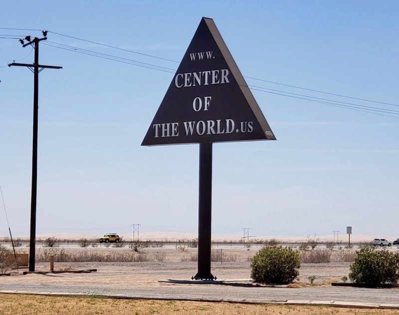
Felicity in Imperial County, California — The American West (Pacific Coastal)
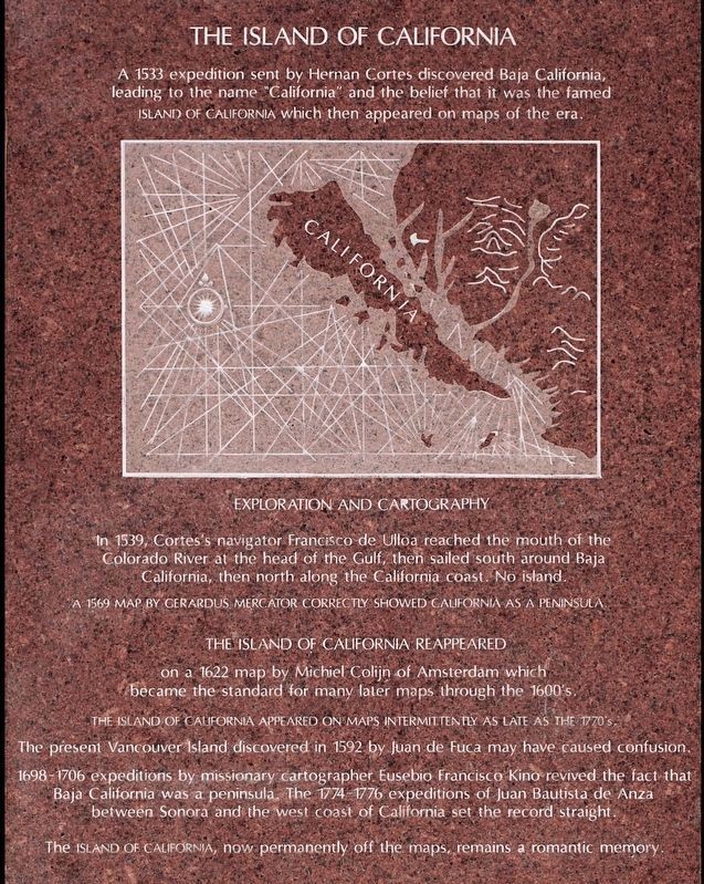
The Island of California
Felicity -- The Center of The World
A 1533 expedition sent by Hernan Cortes discovered Baja California, leading to the name "California" and the belief that it was the famed Island of California which then appeared on maps of the era.
Exploration and Cartography
In 1539, Cortes's navigator Francisco de Ulloa reached the mouth of the Colorado River at the head of the Gulf, then sailed south around Baja California, then north along the California coast. No island. A 1596 map by Gerardus Mercator correctly showed California as a peninsula.
The Island of California Reappeared on a 1622 map by Michiel Colijn of Amsterdam which became the standard for many later maps through the 1600's.
The Island of California appeared on maps intermittently as late as the 1770’s.
The present Vancouver Island discovered in 1592 by Juan de Fuca may have caused confusion.
1698-1706 expeditions by missionary cartographer Eusebio Francisco Kino revived the fact that Baja California was a peninsula. The 1774-1776 expeditions of Juan Bautista de Anza between Sonora and the west coast of California set the record straight.
The Island of California, now permanently off the maps, remains a romantic memory.
Erected 2016 by Museum of History in Granite.
Topics. This historical marker is listed in this topic list: Exploration. A significant historical year for this entry is 1533.
Location. 32° 45.03′ N, 114° 45.931′ W. Marker is in Felicity, California, in Imperial County. Marker can be reached from Center of The World Plaza, 0.1 miles north of Frontage Road, on the left when traveling north. Touch for map. Marker is at or near this postal address: 1 Center of The World Plaza, Winterhaven CA 92283, United States of America. Touch for directions.
Other nearby markers. At least 8 other markers are within 9 miles of this marker, measured as the crow flies. Site of Camp Pilot Knob (approx. 0.6 miles away); Hernando De Alarcon Expedition - 1540 (approx. 3 miles away); Mormon Battalion Crossing / Colorado River Crossing (approx. 3.7 miles away in Arizona); Obregon (approx. 6.3 miles away); Immaculate Conception Parish (approx. 7.1 miles away in Arizona); U.S. Army of the West — Mormon Battalion (approx. 7.1 miles away in Arizona); Yuma Crossing (approx. 8.4 miles away in Arizona); Robert G. Fowler (approx. 8.4 miles away in Arizona).
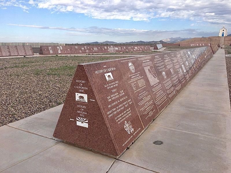
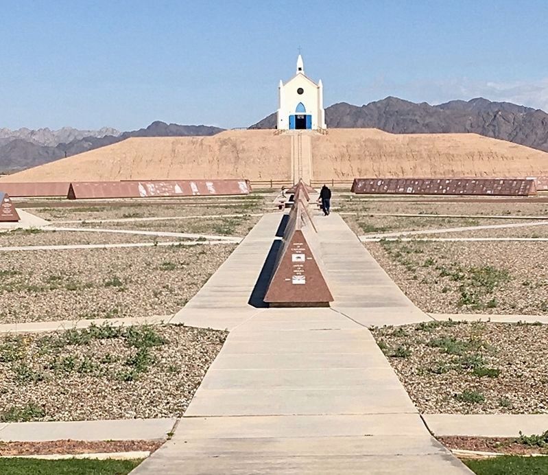
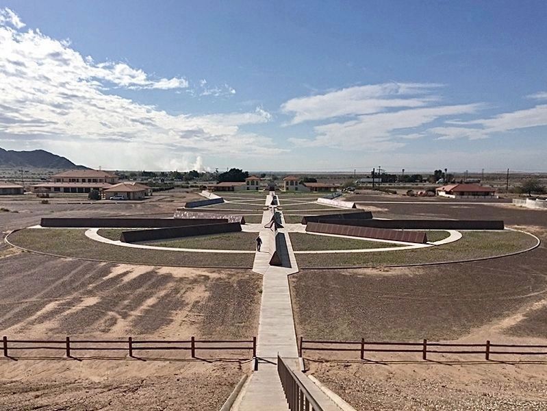
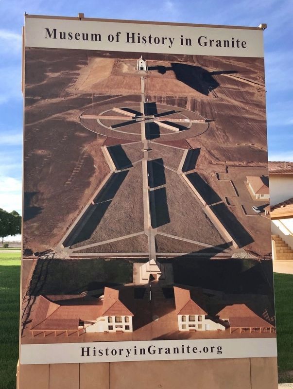
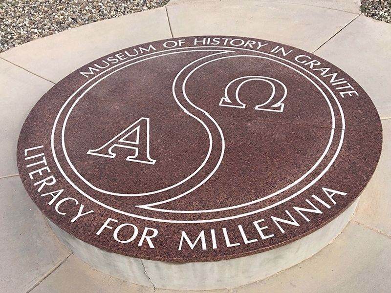
More about this marker. There are over 900 historical markers at this location, covering the history of California, Arizona, the United States, Aviation, Parachuting, Humanity, the French Foreign Legion, and the Korean War. The outdoor museum was conceived by Jacques-Andre
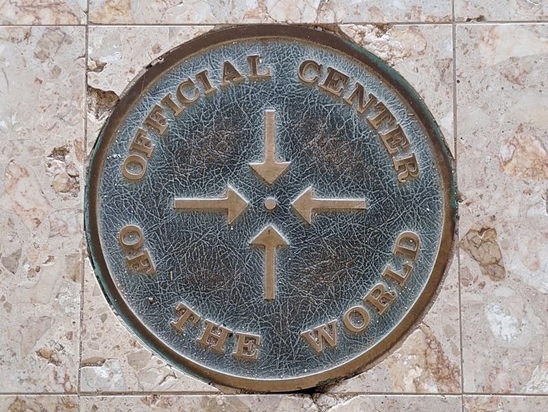
Istel, a French-born parachuting pioneer and Korean War veteran who founded the town of Felicity in 1986. Felicity was designated the Official Center of the World by the Imperial County Board of Supervisors in 1985, and by the government of France in 1989.
Also see . . . Museum of History in Granite. (Submitted on January 29, 2021.)
Credits. This page was last revised on September 27, 2023. It was originally submitted on January 29, 2021, by Craig Baker of Sylmar, California. This page has been viewed 277 times since then and 71 times this year. Photos: 1, 2, 3, 4, 5, 6. submitted on January 29, 2021, by Craig Baker of Sylmar, California. 7, 8, 9. submitted on February 1, 2021, by Craig Baker of Sylmar, California. • J. Makali Bruton was the editor who published this page.
