Prelude
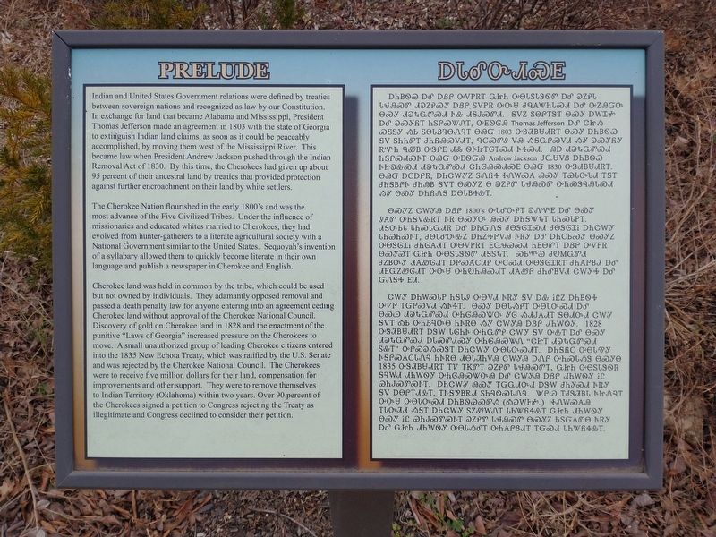
Indian and United States government relations were defined by treaties between sovereign nations and recognized as law by our Constitution. In exchange for land that became Alabama and Mississippi, President Thomas Jefferson made an agreement in 1803 with the state of Georgia to extinguish Indian land claims, as soon as it could be peaceably accomplished, by moving them west of the Mississippi River. This became law when President Andrew Jackson pushed through the Indian Removal Act of 1830. By this time, the Cherokees had given up about 95 percent of their ancestral land by treaties that provided protection against further encroachment on their lands by whites settlers.
The Cherokee Nation flourished in the early 1800's and was the most advanced of the Five Civilized Tribes. Under the influence of missionaries and educated whites married to Cherokees, they had evolved from hunter-gatherers to a literate agricultural society with a National Government similar to the United States. Sequoyah's invention of a syllabary allowed them to quickly become literate in their own language and publish a newspaper in Cherokee and English.
Cherokee land was held in common by the tribe, which could be used but not owned by individuals. They adamantly opposed removal and passed a death penalty law for anyone entering into an agreement
ceding Cherokee lad with approval of the Cherokee National Council. Discovery of gold on Cherokee land in 1828 and the enactment of the punitive "Laws of Georgia" increased pressure on the Cherokees to move. A small unauthorized group of leading Cherokee citizens entered into the 1835 New Echota Treaty, which was ratified by the U.S. Senate and was rejected by the Cherokee National Council. The Cherokees were to receive five million dollars for their land, compensation for improvements and other support. They were to remove themselves to Indian Territory (Oklahoma) within two years. Over 90 percent of the Cherokees signed a petition to Congress rejecting the Treaty as illegitimate and Congress declined to consider their petition.
[Marker translated into Cherokee]
Topics and series. This historical marker is listed in this topic list: Native Americans. In addition, it is included in the Trail of Tears series list. A significant historical year for this entry is 1830.
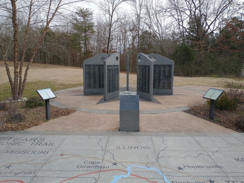
Location. 35° 24.425′ N, 85° 0.368′ W. Marker is in Birchwood, Tennessee, in Hamilton County. Marker is on Blythe Ferry Lane (County Road 131) 1.3 miles north of Blythe Ferry Road, on the right when traveling north. The marker is located within the Cherokee Removal Memorial Park. Touch for map. Marker is at or near this postal address: 6630 Blythe Ferry Ln, Birchwood TN 37308, United States of America. Touch for directions.
Other nearby markers. At least 8 other markers are within
Related markers. Click here for a list of markers that are related to this marker.
Credits. This page was last revised on January 31, 2021. It was originally submitted on January 30, 2021, by Tom Bosse of Jefferson City, Tennessee. This page has been viewed 168 times since then and 17 times this year. Photos: 1, 2. submitted on January 30, 2021, by Tom Bosse of Jefferson City, Tennessee. • Devry Becker Jones was the editor who published this page.

