Pharr in Hidalgo County, Texas — The American South (West South Central)
City of Pharr
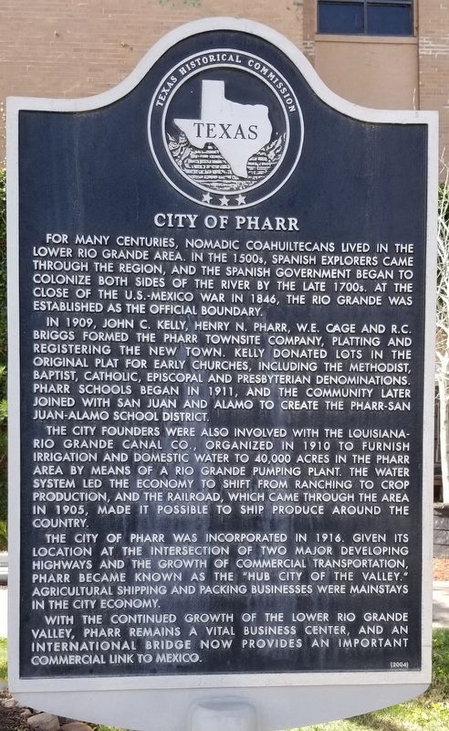
For many centuries, nomadic Coahuiltecans lived in the Lower Rio Grande area. In the 1500s, Spanish explorers came through the region, and the Spanish government began to colonize both sides of the river by the late 1700s. At the close of the U.S.-Mexico War in 1848, the Rio Grande was established as the official boundary.
In 1909, John C. Kelly, Henry N. Pharr, W.E. Cage and R.C. Briggs formed the Pharr Townsite Company, platting and registering the new town. Kelly donated lots in the original plat for early churches, including the Methodist, Baptist, Catholic, Episcopal and Presbyterian denominations. Pharr schools began in 1911, and the community later joined with San Juan and Alamo to create the Pharr-San Juan-Alamo School District.
The city founders were also involved with the Louisiana-Rio Grande Canal Co., organized in 1910 to furnish irrigation and domestic water to 40,000 acres in the Pharr area by means of a Rio Grande pumping plant. The water system led the economy to shift from ranching to crop production, and the railroad, which came through the area in 1905, made it possible to ship produce around the country.
The City of Pharr was incorporated in 1916. Given its location at the intersection of two major developing highways and the growth of commercial transportation, Pharr became known as the "Hub City of the Valley." Agricultural shipping and packing businesses were mainstays in the city economy.
With the continued growth of the Lower Rio Grande Valley, Pharr remains a vital business center, and an international bridge now provides an important commercial link to Mexico.
Erected 2004 by Texas Historical Commission. (Marker Number 13003.)
Topics. This historical marker is listed in these topic lists: Bridges & Viaducts • Churches & Religion • Industry & Commerce • Native Americans. A significant historical year for this entry is 1848.
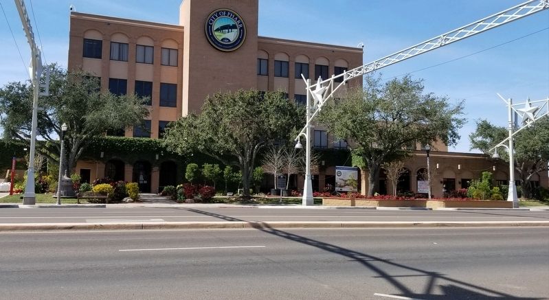
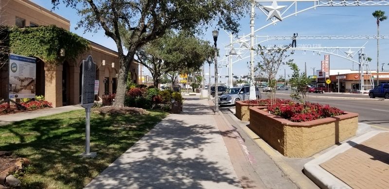
Location. 26° 11.638′ N, 98° 11.059′ W. Marker is in Pharr, Texas, in Hidalgo County. Marker is at the intersection of South Cage Boulevard and Business U.S. 83, on the right when traveling south on South Cage Boulevard. The marker is located in front of the City of Pharr building. Touch for map. Marker is at or near this postal address: 118 South Cage Boulevard, Pharr TX 78577, United States of America. Touch for directions.
Other nearby markers. At least 8 other markers are within walking distance of this marker. Historic Pharr (a few steps from this marker); Old Pharr City Hall (within shouting distance of this marker); Pharr Volunteer Fire Department (about 600 feet away, measured in a direct line); First Pharr School (approx. 0.2 miles away); Kiwanis Club of Pharr
(approx. 0.2 miles away); Buell School (approx. 0.3 miles away); The Pharr Riot (approx. 0.4 miles away); Guadalupe Cemetery (approx. half a mile away). Touch for a list and map of all markers in Pharr.
Also see . . .
1. Pharr Texas.
Pharr is on the Missouri Pacific line and old U.S. Highway 83 (now Interstate Highway 2), just to the east of McAllen in south central Hidalgo County. Its site is within a Spanish land grant made in 1767 to Juan José Hinojosa. The Hinojosa family and heirs sold off portions of their land to various groups in the late nineteenth century and occupied the area as late as 1882. In 1909 John Connally Kelley, Sr., and Henry N. Pharr, a Louisiana sugarcane grower, became co-owners of 16,000 acres, with two miles of frontage on the river. Pharr founded the Louisiana and Rio Grande Canal Company and constructed an irrigation system to establish a sugar plantation. Kelley formed the Pharr Townsite Company, which platted the town that he named Pharr in honor of his partner. Source: The Handbook of Texas(Submitted on January 30, 2021, by James Hulse of Medina, Texas.)
2. Coahuiltecan Indians.
The lowlands of northeastern Mexico and adjacent southern Texas were originally occupied by hundreds of small, autonomous, distinctively named Indian groups that lived by hunting and gathering. During the Spanish colonial period a majority of these natives were displaced from their traditional territories by Spaniards advancing from the south and Apaches retreating from the north. The Spaniards had little interest in describing the natives or classifying them into ethnic units. Source: The Handbook of Texas(Submitted on January 30, 2021, by James Hulse of Medina, Texas.)
Credits. This page was last revised on January 31, 2021. It was originally submitted on January 30, 2021, by James Hulse of Medina, Texas. This page has been viewed 360 times since then and 46 times this year. Photos: 1, 2, 3. submitted on January 30, 2021, by James Hulse of Medina, Texas. • J. Makali Bruton was the editor who published this page.


