Blakely in Early County, Georgia — The American South (South Atlantic)
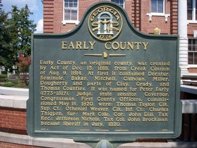
Early County
Erected 1956 by Georgia Historical Commission. (Marker Number 049-4.)
Topics and series. This historical marker is listed in this topic list: Political Subdivisions. In addition, it is included in the Georgia Historical Society series list. A significant historical date for this entry is May 18, 1864.
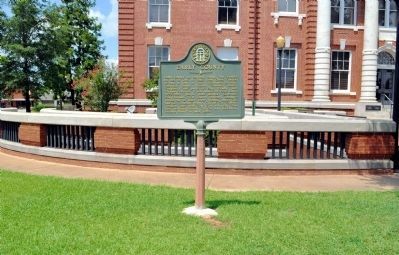
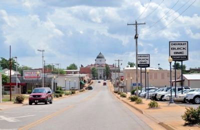
Location. 31° 22.642′ N, 84° 56.05′ W. Marker is in Blakely, Georgia, in Early County. Marker is at the intersection of Court Square (Georgia Route 1) and South Main Street, on the left when traveling east on Court Square. Located on the south lawn of the Courthouse. Touch for map. Marker is at or near this postal address: 111 Court Square, Blakely GA 39823, United States of America. Touch for directions.
Other nearby markers. At least 8 other markers are within 8 miles of this marker, measured as the crow flies. Confederate Dead (within shouting distance of this marker); Early County Peanut Monument (within shouting distance of this marker); Confederate Flag Pole (within shouting distance of this marker); Three Notch Trail (approx. 1.8 miles away); Kolomoki Mounds State Park 4 mi. (approx. 2.2 miles away); a different marker also named Three Notch Trail (approx. 3˝ miles away); Kolomoki Mounds Archaeological Area (approx. 6.3 miles away); Centerville United Methodist Church (approx. 7˝ miles away). Touch for a list and map of all markers in Blakely.
Credits. This page was last revised on January 31, 2021. It was originally submitted on January 2, 2011, by Michael Dover of Ellerslie, Georgia. This page has been viewed 812 times since then and 54 times this year. Last updated on January 30, 2021, by James L.Whitman of Eufaula, Alabama. Photos: 1, 2. submitted on January 2, 2011, by Michael Dover of Ellerslie, Georgia. 3, 4. submitted on October 17, 2011, by David Seibert of Sandy Springs, Georgia. • Bernard Fisher was the editor who published this page.


