
Lamberts Point in Norfolk, Virginia — The American South (Mid-Atlantic)
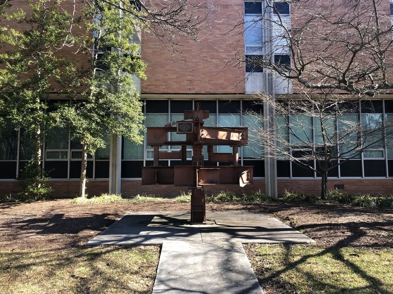
"Connections"

Erected 2001 by Lynchburg Steel Company.
Topics. This historical marker is listed in these topic lists: Arts, Letters, Music • Education • Industry & Commerce.
Location. 36° 53.155′ N, 76° 18.343′ W. Marker is in Norfolk, Virginia. It is in Lamberts Point. It is on Elizabeth River Trail 0.1 miles south of West 49th Street, on the left when traveling south. Touch for map. Marker is at or near this postal address: 4537 Hampton Blvd, Norfolk VA 23508, United States of America. Touch for directions.

Regionally, this marker is in Virginia’s Hampton Roads, specifically in Coastal Virginia, and in the Hampton Roads Metropolitan Area. It is also in the American South, specifically in the Upper South, in the Tidewater,
this page online
Other nearby markers. At least 8 other markers are within 2 miles of this marker, measured as the crow flies: Veterans Memorial (within shouting distance of this marker); Quarantine Road (about 300 feet away, measured in a direct line); Norfolk Light Artillery Blues (approx. 0.2 miles away); Old Academic Building Site (approx. 0.4 miles away); Blair Junior High School (approx. 1.3 miles away); The Norfolk 17 (approx. 1.3 miles away); The Yellow Fever Epidemic of 1855 (approx. 1.3 miles away); Stanley Crane (approx. 1½ miles away). Touch for a list and map of all markers in Norfolk.
Credits. This page was last revised on February 1, 2023. It was originally submitted on January 31, 2021, by Devry Becker Jones of Washington, District of Columbia. This page has been viewed 298 times since then and 13 times this year. Photos: 1, 2. submitted on January 31, 2021, by Devry Becker Jones of Washington, District of Columbia.
