Lamberts Point in Norfolk, Virginia — The American South (Mid-Atlantic)
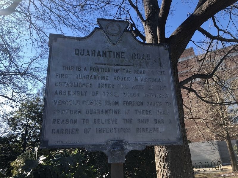
Quarantine Road
Erected 1963 by Owen Manufacturing Corporation, Norfolk, Virginia.
Topics. This historical marker is listed in this topic list: Industry & Commerce. A significant historical year for this entry is 1783.
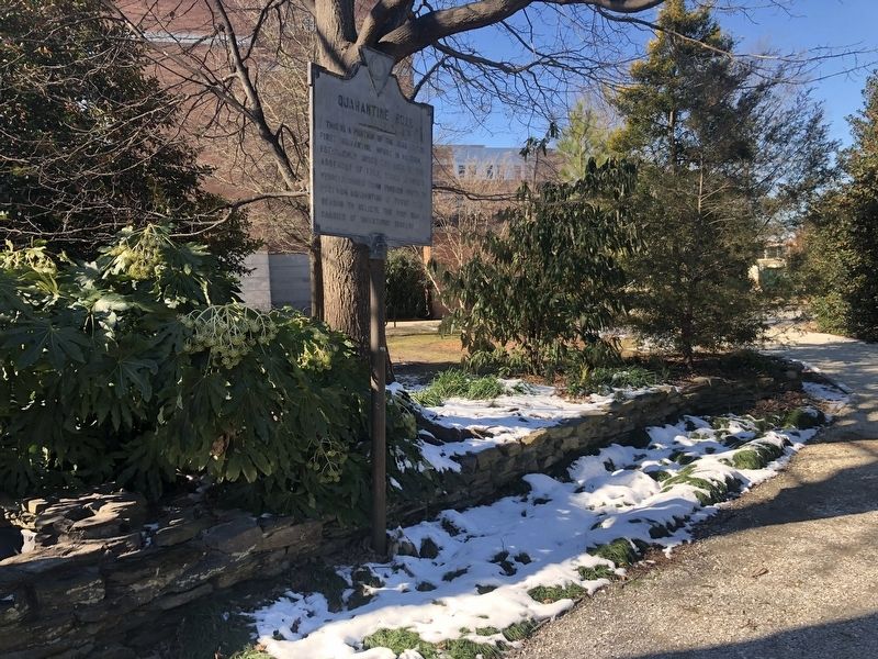
Location. 36° 53.14′ N, 76° 18.402′ W. Marker is in Norfolk, Virginia. It is in Lamberts Point. Marker can be reached from Elizabeth River Trail, 0.1 miles north of West 43rd Street, on the left when traveling north. Touch for map. Marker is at or near this postal address: 4700 Elkhorn Ave, Norfolk VA 23529, United States of America. Touch for directions.
Other nearby markers. At least 8 other markers are within 2 miles of this marker, measured as the crow flies. "Connections" (about 300 feet away, measured in a direct line); Veterans Memorial (about 400 feet away); Norfolk Light Artillery Blues (approx. ¼ mile away); Old Academic Building Site (approx. half a mile away); Tsodilo Hills (approx. 1.7 miles away); The Norfolk 17 (approx. 1.7 miles away); Craney Island (approx. 1.7 miles away); War of 1812 Elizabeth River Defenses/War of 1812 (approx. 1.8 miles away). Touch for a list and map of all markers in Norfolk.
Credits. This page was last revised on February 1, 2023. It was originally submitted on January 31, 2021, by Devry Becker Jones of Washington, District of Columbia. This page has been viewed 239 times since then and 38 times this year. Photos: 1, 2. submitted on January 31, 2021, by Devry Becker Jones of Washington, District of Columbia.

