Cerulean in Trigg County, Kentucky — The American South (East South Central)
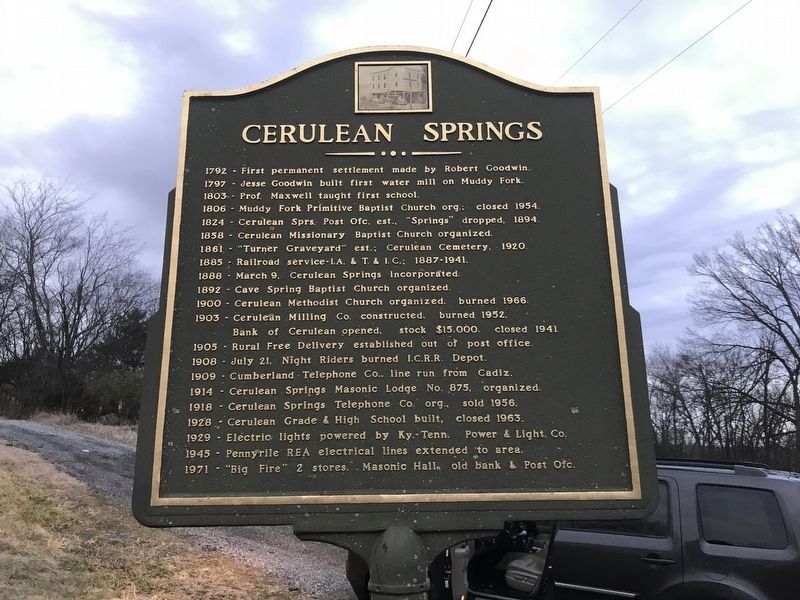
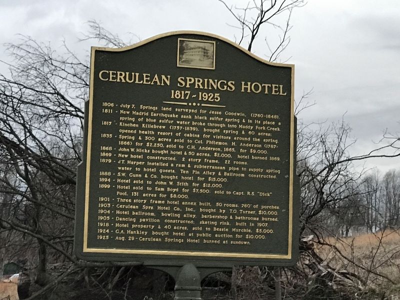
Cerulean Springs / Cerulean Springs Hotel
/ 1817-1925
1797 - Jesse Goodwin built first water mill on Muddy Fork.
1803 - Prof. Maxwell taught first school.
1806 - Muddy Fork Primitive Baptist Church org.: closed 1954.
1824 - Cerulean Sprs. Post Ofc. est., “Springs” dropped, 1894.
1858 - Cerulean Missionary Baptist Church organized.
1861 - “Turner Graveyard” est.; Cerulean Cemetery, 1920.
1885 - Railroad service - I.A. & T. & I. C.; 1887-1941.
1888 - March 9, Cerulean Springs Incorporated.
1892 - Cave Spring Baptist Church organized.
1900 - Cerulean Methodist Church organized, burned 1966.
1903 - Cerulean Milling Co. constructed, burned 1952. Bank of Cerulean opened, stock $15,000, closed 1941.
1905 - Rural Free Delivery established out of post office.
1908 - July 21, Night Riders burned I.C.R.R. Depot.
1909 - Cumberland Telephone Co. line run from Cadiz.
1914 - Cerulean Springs Masonic Lodge No. 875, organized.
1918 - Cerulean Springs Telephone Co. org., sold 1956.
1928 - Cerulean Grade & High School built, closed 1963.
1929 - Electric lights powered by Ky.-Tenn. Power & Light. Co.
1945 - Pennyrile REA electrical lines extended to area.
1971 - “Big Fire” 2 stores, Masonic Hall, old bank & Post Ofc.
1817-1925
1811 - New Madrid Earthquake sank black sulfur spring & in its place a spring of blue sulfur water broke through into Muddy Fork Creek.
1817 - Kinchen Killebrew (1757-1839), bought spring & 60 acres: opened health resort of cabins for visitors around the spring.
1835 - Spring & 300 acres sold to Col. Philemon H. Anderson (1787-1866) for $2,250, sold to C.H. Anderson, 1865, for $9,000.
1868 - John W. Hicks bought hotel & 50 acres. $2,000, hotel burned 1869.
1869 - New hotel constructed. 2 story frame, 22 rooms.
1879 - J.T. Harper installed a ram & subterranean pipe to supply spring water to hotel guests. Ten Pin Alley & Ballroom constructed.
1888 - S.W. Gunn & Co. bought hotel for $15.000.
1894 - Hotel sold to John W. Stith for $12,000.
1899 - Hotel sold to Sam Boyd for $7,500, sold to Capt. R.S. "Dick" Pool, 131 acres for $8,000.
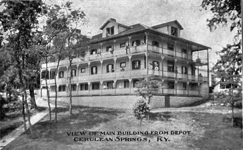
1901 - Three story frame hotel annex built, 50 rooms, 760' of porches.
1903 - Cerulean Sprs. Hotel Co., Inc.. bought by T.O. Turner, $10,000.
1904 - Hotel ballroom, bowling alley, barbershop & bathrooms burned.
1905 - Dancing pavilion constructed: skating rink built in 1907.
1918 - Hotel property & 40 acres, sold to Bessie Murchie, $5,000.
1924 - G.A. Hankley bought hotel at public auction for $10,000.
1925 - Aug. 29- Cerulean Springs Hotel burned at sundown.
Topics. This historical marker is listed in these topic lists: Churches & Religion • Disasters • Industry & Commerce • Settlements & Settlers. A significant historical date for this entry is March 9, 1792.
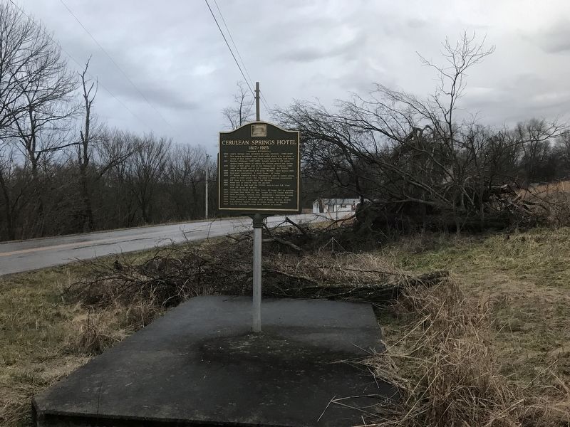
Location. 36° 57.936′ N, 87° 42.596′ W. Marker is in Cerulean, Kentucky, in Trigg County. Marker is at the intersection of Cobb Road (Kentucky Route 126) and Cerulean Bainbride Road (Kentucky Route 124), on the right when traveling east on Cobb Road. Touch for map. Marker is in this post office area: Cerulean KY 42215, United States of America. Touch for directions.
Other nearby markers. At least 8 other markers are within 10 miles of this marker, measured as the crow flies. The Night Rider Movement (approx. 4.2 miles away); Ranger Leader Blinded (approx. 7 miles away); Skirmish at Grubb's Crossroads (approx. 7 miles away); Universalist Church (approx. 8.4 miles away); Courthouse Burned (approx. 10 miles away); Trigg County Confederate Memorial (approx. 10 miles away); Trigg County War Memorial (approx. 10 miles away); County Named, 1820 (approx. 10 miles away).
Credits. This page was last revised on February 1, 2021. It was originally submitted on January 31, 2021, by Duane and Tracy Marsteller of Murfreesboro, Tennessee. This page has been viewed 427 times since then and 56 times this year. Photos: 1, 2, 3, 4. submitted on January 31, 2021, by Duane and Tracy Marsteller of Murfreesboro, Tennessee.


