
Great Notch in Passaic County, New Jersey — The American Northeast (Mid-Atlantic)
Great Notch
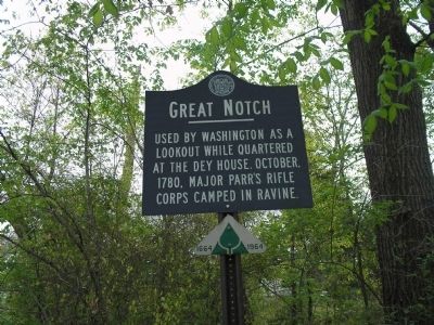
Photographed by Bill Coughlin, May 3, 2008
1. Great Notch Marker
Erected 1964 by State of New Jersey.
Topics. This historical marker is listed in these topic lists: Notable Places • War, US Revolutionary. A significant historical date for this entry is October 6, 1780.
Location. 40° 52.635′ N, 74° 12.014′ W. Marker is in Great Notch, New Jersey, in Passaic County. It is at the intersection of Rifle Camp Road and Old Rifle Camp Road, on the right when traveling north on Rifle Camp Road. Touch for map. Marker is in this post office area: Little Falls NJ 07424, United States of America. Touch for directions.

Regionally, this marker is in New Jersey’s North Jersey, in Greater Newark, and in the New York City Metropolitan Area. It is also in the American Northeast and in the Mid-Atlantic. Globally, it is in North America, the Western Hemisphere, the Western World, and the Anglosphere. Historically, it finds itself in what was once New Netherland and also one of the original Thirteen Colonies.
Other nearby markers. At least 8 other markers are within
this page online
Another marker is no longer nearby. Washington’s Lookout (was approx. one mile away but has been confirmed missing).
More about this marker. Passaic County recently installed six new historic markers, including one nearby in Rifle Camp Park.
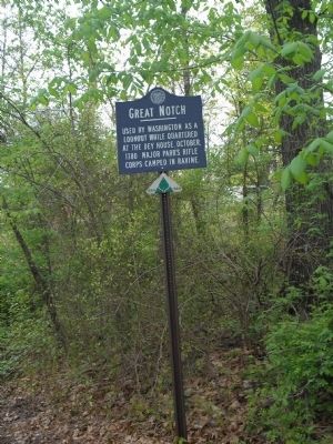
Photographed by Bill Coughlin, May 3, 2008
2. Marker on Rifle Camp Road
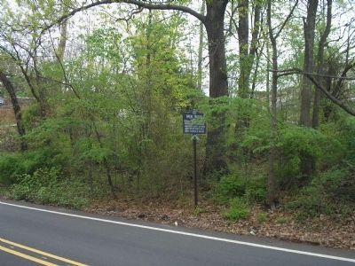
Photographed by Bill Coughlin, May 3, 2008
3. Rifle Unit Marker
The hill where the lookout was placed was also the location of a fire beacon and signal cannon. These beacons, which stretched throughout the Watchung Mountains into the New Jersey Highlands, were part of Lord Stirling's beacon-alarm system.
Credits. This page was last revised on February 2, 2021. It was originally submitted on May 3, 2008, by Bill Coughlin of Woodland Park, New Jersey. This page has been viewed 1,982 times since then and 50 times this year. Last updated on January 31, 2021, by Carl Gordon Moore Jr. of North East, Maryland. Photos: 1, 2, 3. submitted on May 3, 2008, by Bill Coughlin of Woodland Park, New Jersey. • J. Makali Bruton was the editor who published this page.
