Perryville in Hunterdon County, New Jersey — The American Northeast (Mid-Atlantic)
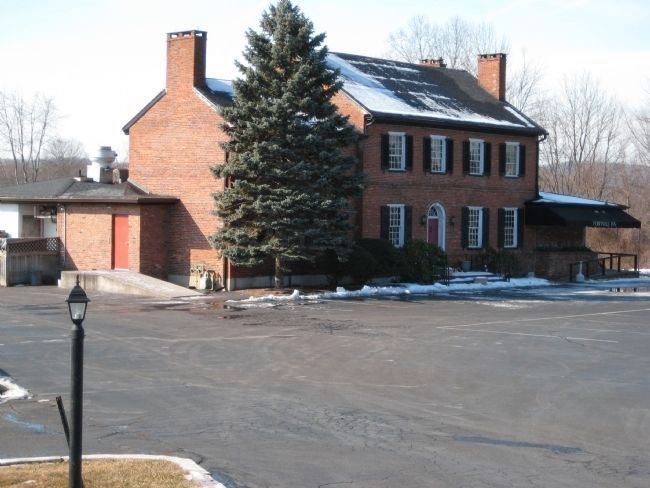
Perryville Tavern
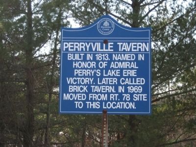
[Newer, Blue Marker]:
Built in 1813. Named in honor of Admiral Perry’s Lake Erie victory. Later called Brick Tavern. In 1969 moved from Rt. 78 site to this location.
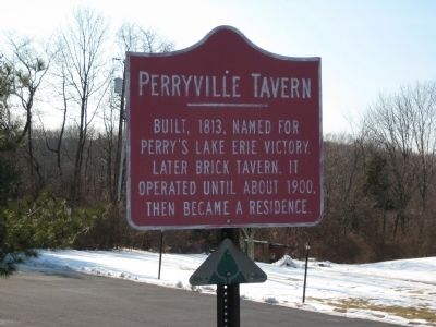
[Older, Red Marker]:
Built, 1813, Named for Perry’s Lake Erie victory. Later Brick Tavern, it operated until about 1900, then became a residence.
Erected by Hunterdon County Cultural and Heritage Commission.
Topics and series. This historical marker is listed in this topic list: Industry & Commerce. In addition, it is included in the New Jersey, Hunterdon County Cultural and Heritage Commission series list. A significant historical year for this entry is 1813.
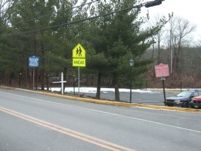
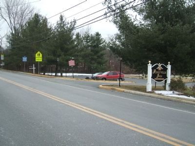
Location. 40° 37.992′ N, 74° 58.191′ W. Marker is in Perryville, New Jersey, in Hunterdon County. Marker is on Perryville Road (County Route 625) just south of Frontage Road, on the right when traveling south. Touch for map. Marker is at or near this postal address: 167 Perryville Road, Hampton NJ 08827, United States of America. Touch for directions.
Other nearby markers. At least 8 other markers are within 2 miles of this marker, measured as the crow flies. Union Township World War II Memorial (approx. 0.6 miles away); David Reynolds Tavern/Joseph Van Syckel Residence (approx. 1.2 miles away); Van Syckles Tavern (approx. 1.2 miles away); Bethlehem Baptist Church (approx. 1.4 miles away); Joseph Turner House (approx. 1.7 miles away); Mechlin's Tavern (approx. 1.8 miles away); Rockhill Agricultural Historic District (approx. 2 miles away); Mount Salem Church (approx. 2 miles away).
Credits. This page was last revised on December 28, 2020. It was originally submitted on March 3, 2009, by Alan Edelson of Union Twsp., New Jersey. This page has been viewed 1,709 times since then and 36 times this year. Photos: 1, 2. submitted on March 3, 2009, by Alan Edelson of Union Twsp., New Jersey. 3, 4. submitted on February 7, 2013, by John Ben Urban of Middletown, Delaware. 5. submitted on March 3, 2009, by Alan Edelson of Union Twsp., New Jersey. • Kevin W. was the editor who published this page.
