South Padre Island in Cameron County, Texas — The American South (West South Central)
Brazos Santiago Pass and Brazos Island Military Depot
Inscription.
Named by the Spanish, Brazos Santiago Pass is a narrow passageway extending inward from the sea. The pass lies between Brazos Island and Padre Island. The changing depths of the pass channel kept large vessels from entering, but offered seclusion to smaller ships. The entire area proved strategically important in a variety of military conflicts. Brazos Santiago harbor became part of the Texas revolution when the Texas warship "Invincible" heavily damaged the Mexican warship "Bravo" in April 1836. Supplies bound for the Mexican Army did not reach their destination. In 1846, U.S. Army General Zachary Taylor set up a military depot at the mouth of Brazos Santiago Pass on Brazos Island. during the war with Mexico, thousands of volunteers were encamped here, awaiting transfer to other locations. In February 1861, the U.S. Army surrendered the depot to forces of the state of Texas prior to the outbreak of the Civil War. Federal soldiers landed unopposed in 1863 at Brazos Island, taking Fort Brown and Brownsville, only to abandon them less than a year later. In May 1865, the last battle of the Civil War was fought at nearby Palmito Ranch. The depot was abandoned following hurricane damage in 1867.
Erected 1996 by Texas Historical Commission. (Marker Number 11777.)
Topics. This historical marker is listed in these topic lists: Bridges & Viaducts • War, Mexican-American • War, Texas Independence • War, US Civil.
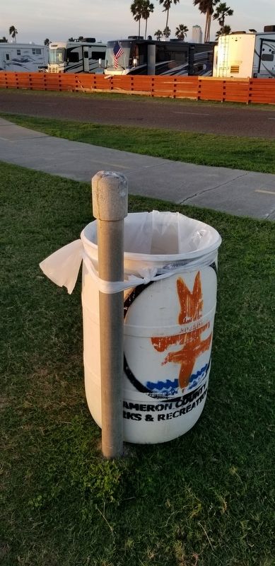
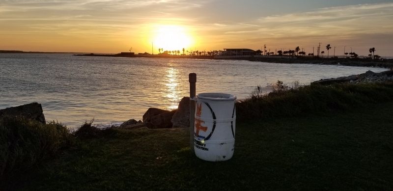
Location. Marker has been reported missing. It was located near 26° 4.183′ N, 97° 9.516′ W. Marker was on South Padre Island, Texas, in Cameron County. Marker was at the intersection of Channel View Road and State Park Road 100, on the right when traveling east on Channel View Road. Touch for map. Marker was in this post office area: South Padre Island TX 78597, United States of America. Touch for directions.
Other nearby markers. At least 8 other markers are within 3 miles of this location, measured as the crow flies. Brazos Santiago (within shouting distance of this marker); Padre J. Nicolas Balli (approx. 1.2 miles away); Veterans' Park Walls of Honor (approx. 2.9 miles away); Queen Isabel Inn (approx. 2.9 miles away); Charles Champion (approx. 3.1 miles away); Old Point Isabel Lighthouse (approx. 3.1 miles away); Port Isabel, C.S.A. (approx. 3.1 miles away); Port of Matamoros (approx. 3.1 miles away). Touch for a list and map of all markers in South Padre Island.
Credits. This page was last revised on February 5, 2021. It was originally submitted on February 5, 2021, by James Hulse of Medina, Texas. This page has been viewed 611 times since then and 101 times this year. Photos: 1, 2. submitted on February 5, 2021, by James Hulse of Medina, Texas. • Bernard Fisher was the editor who published this page.

