
Forest in Hardin County, Ohio — The American Midwest (Great Lakes)
Historic Freight House
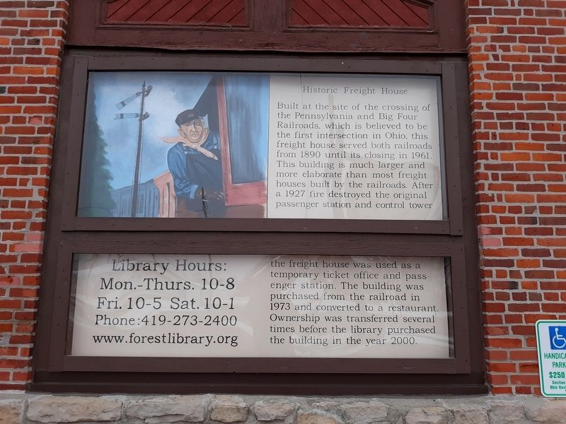
Photographed by Craig Doda, February 8, 2020
1. Historic Freight House Marker
Topics. This historical marker is listed in this topic list: Railroads & Streetcars. A significant historical year for this entry is 1890.
Location. 40° 48.116′ N, 83° 30.727′ W. Marker is in Forest, Ohio, in Hardin County. It is on West Lima Street (Ohio Route 37), on the right when traveling west. Touch for map. Marker is in this post office area: Forest OH 45843, United States of America. Touch for directions.

Regionally, this marker is in Ohio’s Till Plains.
this page online
Other nearby markers. At least 8 other markers are within 7 miles of this marker, measured as the crow flies: Forest Veterans Memorial (about 500 feet away, measured in a direct line); Civil War-era Rodman Cannons (approx. 0.3 miles away); Veterans Memorial (approx. 0.3 miles away); a different marker also named Civil War-era Rodman Cannons (approx. 0.3 miles away); To Remember Veterans Of All Wars (approx. 6.8 miles away); Former Site of Mt. Blanchard Schools (approx. 6.9 miles away); Dunkirk Field of Honors (approx. 6.9 miles away); a different marker also named To Remember Veterans Of All Wars (approx. 6.9 miles away). Touch for a list and map of all markers in Forest.
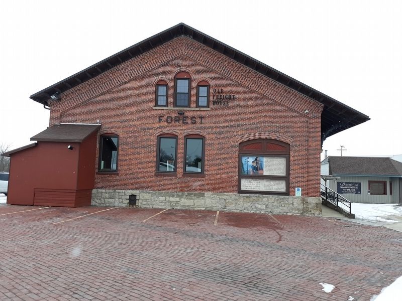
Photographed by Craig Doda, February 8, 2020
2. Historic Freight House Marker
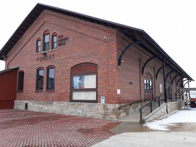
Photographed by Craig Doda, February 8, 2020
3. Historic Freight House Marker
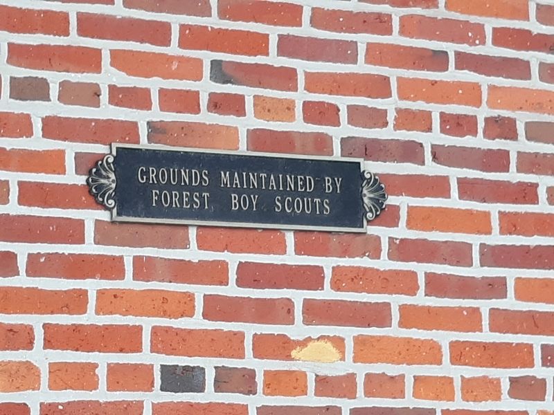
Photographed by Craig Doda, February 8, 2020
4. Historic Freight House Marker
Credits. This page was last revised on February 7, 2021. It was originally submitted on February 5, 2021, by Craig Doda of Napoleon, Ohio. This page has been viewed 816 times since then and 70 times this year. Photos: 1, 2, 3, 4. submitted on February 5, 2021, by Craig Doda of Napoleon, Ohio. • Bill Pfingsten was the editor who published this page.
