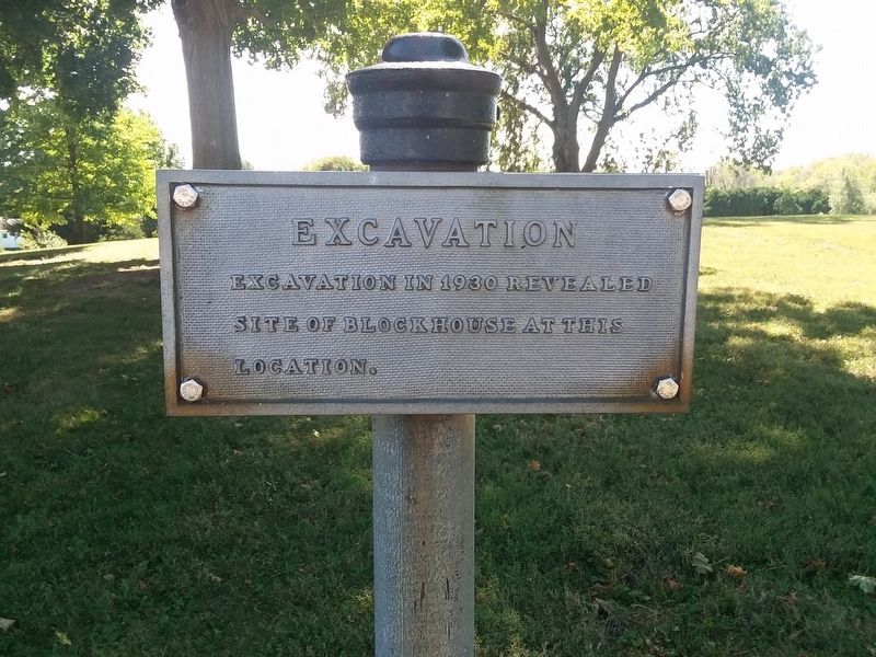
Fort Jefferson in Darke County, Ohio — The American Midwest (Great Lakes)
Excavation
Fort Jefferson
Topics. This historical marker is listed in these topic lists: Anthropology & Archaeology • Forts and Castles. A significant historical year for this entry is 1930.
Location. 40° 1.536′ N, 84° 39.383′ W. Marker is in Fort Jefferson, Ohio, in Darke County. Marker is on Weavers-Fort Jefferson Road, on the right when traveling east. Touch for map. Marker is in this post office area: Greenville OH 45331, United States of America. Touch for directions.
Other nearby markers. At least 8 other markers are within walking distance of this marker. Firepit (here, next to this marker); Well or Magazine Pit (a few steps from this marker); Trench (within shouting distance of this marker); Fort Jefferson (within shouting distance of this marker); Underground Passage (within shouting distance of this marker); Ash Pit (within shouting distance of this marker); Fort Jefferson: A Link in a Chain (within shouting distance of this marker); Fort Jefferson / St. Clair’s Defeat (within shouting distance of this marker). Touch for a list and map of all markers in Fort Jefferson.
Credits. This page was last revised on February 8, 2021. It was originally submitted on February 6, 2021, by Craig Doda of Napoleon, Ohio. This page has been viewed 105 times since then and 9 times this year. Photos: 1, 2. submitted on February 6, 2021, by Craig Doda of Napoleon, Ohio. • Bill Pfingsten was the editor who published this page.

