Crabtown
Seafood
| — | Explore Hampton 2010: From the Sea to the Stars | — |
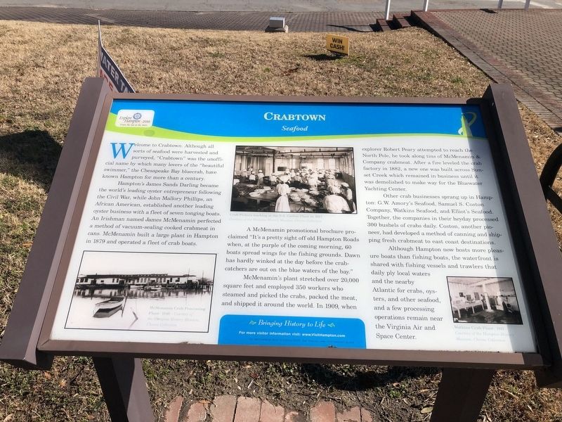
Welcome to Crabtown. Although all sorts of seafood were harvested and purveyed, "Crabtown" was the unofficial name by which many lovers of the "beautiful swimmer," the Chesapeake Bay bluecrab, have known Hampton for more than a century.
Hampton's James Sands Darling became the world's leading oyster entrepreneur following the Civil War, while John Mallory Philips, an African American, established another leading oyster business with a fleet of seven tonging boats. An Irishman named James McMenamin perfected a method of vacuum-sealing cooked crabmeat in cans. McMenamin built a large plant in Hampton in 1879 and operated a fleet of crab boats.
A McMenamin promotional brochure claimed "It's a pretty sight off old Hampton Roads when, at the purple of the coming morning, 60 boats spread wings for the fishing grounds. Dawn has hardly winked at the day before the crabcatchers are out on the blue waters of the bay."
McMenamin's plant stretched over 20,000 square feet and employed 350 workers who steamed and picked the the crabs, packed the meat, and shipped it around the world. In 1909, when explorer Robert Peary attempted
this page online
Other crab businesses sprang up in Hampton: G.W. Amory's Seafood, Samuel S. Coston Company, Watkins Seafood, and Elliot's Seafood. Together, the companies in their heyday processed 300 bushels of crabs daily. Coston, another pioneer, had developed a method of canning and shipping fresh crabmeat to east coast destinations.
Although Hampton now hosts more pleasure boats than fishing boats, the waterfront is shared with fishing vessels and trawlers that daily ply local waters and the nearby Atlantic for crabs, oysters, and other seafood, and a few processing operations remain near the Virginia Air and Space Center.
Erected 2010 by Hampton Convention & Visitor Bureau.
Topics. This historical marker is listed in these topic lists: Animals • Industry & Commerce • Waterways & Vessels. A significant historical year for this entry is 1879.
Location. 37° 1.479′ N, 76° 20.719′ W.
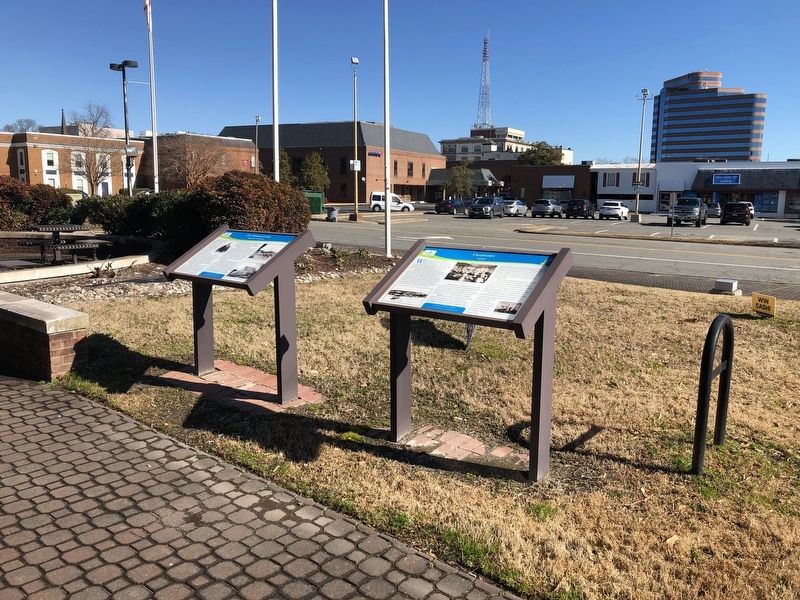

Regionally, this marker is on Virginia’s Peninsula and in Coastal Virginia. It is also in the American South, specifically in the Upper South, in the Tidewater, and on the Eastern Seaboard. Globally, it is in the North Atlantic Region, North America, the Western Hemisphere, the Western World, and the Anglosphere. Historically, it finds itself in what was once the territory of the Mississippian Culture, one of the original Thirteen Colonies, one of the Confederate States of America, and the Antebellum South.
Other nearby markers. At least 8 other markers are within walking distance of this marker: J.S. Darling & Son (here, next to this marker); The Magnolia Tree Inn (about 400 feet away, measured in a direct line); McDowell's Inn (about 400 feet away); Mary Winston Jackson (about 400 feet away); Hampton USOs (about 400 feet away); Katherine Coleman Goble Johnson (about 400 feet away); Dorothy Johnson Vaughan (about 400 feet away); F.W. Woolworth Co. Building (about 400 feet away). Touch for a list and map of all markers in Hampton.
Credits. This page was last revised on February 1, 2023. It was originally submitted on February 7, 2021, by Devry Becker Jones of Washington, District of Columbia. This page has been viewed 885 times since then and 69 times this year. Photos: 1, 2. submitted on February 7, 2021, by Devry Becker Jones of Washington, District of Columbia.
