Olde Hampton , Virginia — The American South (Mid-Atlantic)
Grand Contraband Camp
"Freedom's Fortress"
| — | Explore Hampton 2010: From the Sea to the Stars | — |
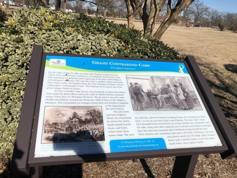
On the night of May 23, 1861, just days after Virginia seceded from the Union, three enslaved men working on a Confederate fortification in Norfolk carried out an audacious plan, appearing at the gates of Fort Monroe and asking for sanctuary. The next day, when a southern officer demanded their return under the Fugitive Slave Act, Gen. Benjamin Butler refused, calling them "contrabands of war." This decision set in motion of one of the great refugee floods in history.
At first a handful, then dozens, then hundreds of slaves from plantations along the James River and as far south as North Carolina streamed across Union lines to "Freedom's Fortress." By the time it was over, some 25,000 contrabands crowded the Peninsula, 7,000 of them in the village of Hampton. This remarkable act of people seizing their own freedom is regarded as the beginning of the end of slavery.
The area north and west of Queen Street was crisscrossed by streets of contrabands named Lincoln, Grant, and Union, which retain those names today. The area was officially called the Grand Contraband Camp, but was known as "Slabtown," as was an area near
this page online
Erected 2010 by Hampton Convention & Visitor Bureau.
Topics. This historical marker is listed in these topic lists: African Americans • Forts and Castles • Settlements & Settlers • War, US Civil. A significant historical date for this entry is May 23, 1861.
Location. 37° 1.66′ N, 76° 20.974′ W. Marker is in Hampton, Virginia. It is in Olde Hampton. It is at the intersection of Lincoln Street and North Armistead Avenue (Virginia Route 134), on the right when traveling east on Lincoln Street. Touch for map. Marker is at or near this postal address: 204 Lincoln St, Hampton VA 23669, United States of America. Touch for directions.

Regionally, this marker is
Photographed by Devry Becker Jones (CC0), February 6, 2021
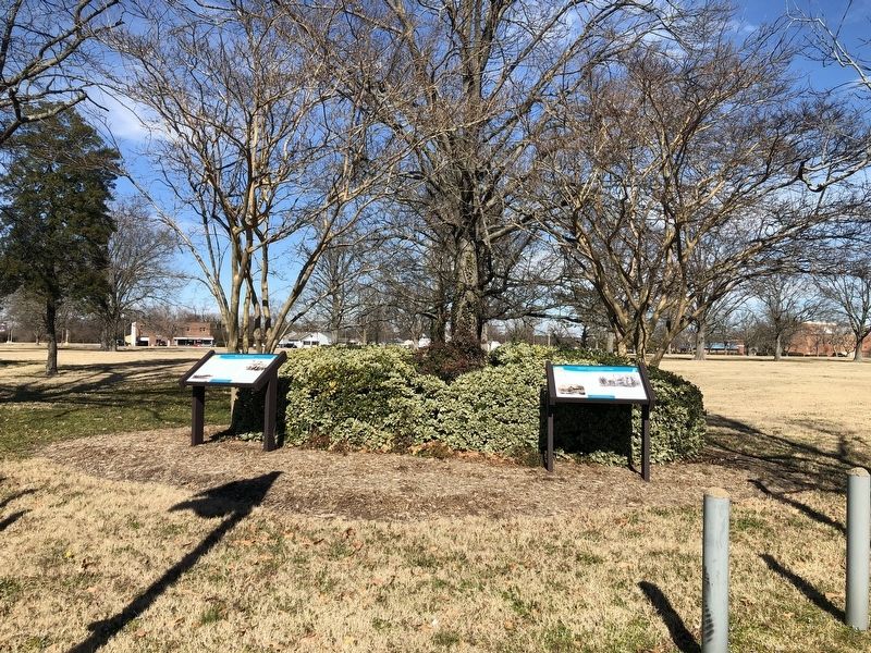
2. Black Business and Grand Contraband Camp Markers
Other nearby markers. At least 8 other markers are within walking distance of this marker: Black Business (here, next to this marker); Historic St. John's Episcopal Church (about 600 feet away, measured in a direct line); Hannah Nicholson Tunnell (approx. 0.2 miles away); Virginia Laydon (approx. 0.2 miles away); St. John's Church (approx. 0.2 miles away); Hampton Confederate Monument (approx. 0.2 miles away); a different marker also named St. John’s Church (approx. 0.2 miles away); Elizabeth City Parish (approx. 0.2 miles away). Touch for a list and map of all markers in Hampton.
Photographed by Unattributed, December 1864
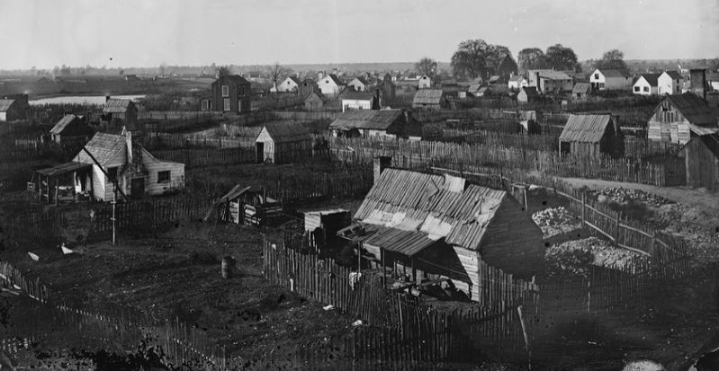
3. "Slabtown"
One of two views in the collections of the Library of Congress showing the housing set up by "contrabands" around Hampton. This image dates from 1864. It is unclear whether this is the Slabtown described in the marker or the Slabtown near Phoebus.
Credits. This page was last revised on July 9, 2026. It was originally submitted on February 7, 2021, by Devry Becker Jones of Washington, District of Columbia. This page has been viewed 844 times since then and 49 times this year. Photos: 1, 2. submitted on February 7, 2021, by Devry Becker Jones of Washington, District of Columbia. 3. submitted on June 15, 2026, by Evan Dwyer of Richmond, Virginia.
