Knoxville in Knox County, Tennessee — The American South (East South Central)
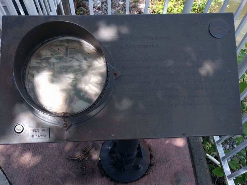
From Scuffletown to Sunsphere
Topics. This historical marker is listed in this topic list: Notable Events. A significant historical year for this entry is 1982.
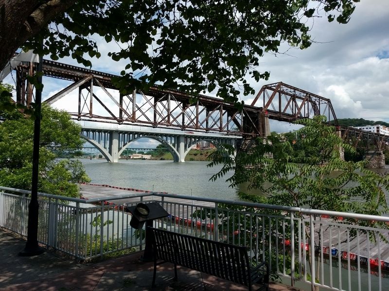
Location. Marker has been reported permanently removed. It was located near 35° 57.365′ N, 83° 55.283′ W. Marker was in Knoxville, Tennessee, in Knox County. Marker could be reached from Neyland Drive (Tennessee Route 158). The marker was on the Neyland Greenway Trail, about 220 ft. north of the Wayne G. Basler Boathouse and 0.2 mi. south of Henley Bridge. Touch for map. Marker was in this post office area: Knoxville TN 37916, United States of America.
We have been informed that this sign or monument is no longer there and will not be replaced. This page is an archival view of what was.
Other nearby markers. At least 8 other markers are within walking distance of this location. Neyland Stadium (within shouting distance of this marker); Land Grant University (approx. ¼ mile away); Mecklenburg Place (approx. ¼ mile away); Russell Briscoe (approx. 0.3 miles away); Lizzie Crozier French and GFWC Ossoli Circle (approx. 0.3 miles away); Carl Sublett (approx. 0.3 miles away); West Wing of Federal Lines (approx. 0.3 miles away); Desegregation of the University of Tennessee (approx. 0.3 miles away). Touch for a list and map of all markers in Knoxville.
Also see . . .
1. 1982 World's Fair. (Submitted on June 10, 2018, by Joel Seewald of Madison Heights, Michigan.)
2. Sunsphere. (Submitted on June 10, 2018, by Joel Seewald of Madison Heights, Michigan.)
Credits. This page was last revised on February 16, 2021. It was originally submitted on June 10, 2018, by Joel Seewald of Madison Heights, Michigan. This page has been viewed 249 times since then and 13 times this year. Last updated on February 14, 2021, by Shane Oliver of Richmond, Virginia. Photos: 1, 2. submitted on June 10, 2018, by Joel Seewald of Madison Heights, Michigan. • Devry Becker Jones was the editor who published this page.

