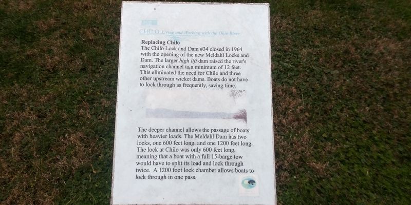
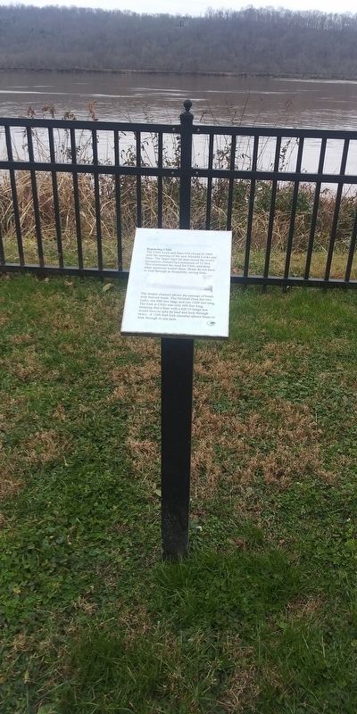
Replacing Chilo
— Chilo: Living and Working with the Ohio River —
The Chilo Lock and Dam #34 closed in 1964 with the opening of the new Meldahl Locks and Dam. The larger high lift dam raised the river's navigation channel to a minimum of 12 feet. This eliminated the need for Chilo and three other upstream wicket dams. Boats do not have to lock through as frequently, saving time.
The deeper channel allows the passage of boats
with heavier loads. The Meldahl Dam has two
locks, one 600 feet long, and one 1200 feet long.
The lock at Chilo was only 600 feet long,
meaning that a boat with a full 15-barge tow
would have to split its load and lock through
twice. A 1200 foot lock chamber allows boats to
lock through in one pass.
Erected by Clermont County Park District.
Topics. This historical marker is listed in these topic lists: Disasters • Industry & Commerce • Waterways & Vessels. A significant historical year for this entry is 1964.
Location. 38° 47.368′ N, 84° 7.915′ W. Marker is in Chilo, Ohio, in Clermont County. Marker is on County Park Road, 0.2 miles south of Ohio River Scenic Byway (U.S. 52), on the right when traveling south. Touch for map. Marker is at or near this postal address: 521 County Park Rd, Chilo OH 45112, United States of America. Touch for directions.
Other nearby markers. At least 8 other markers are within walking distance of this marker. The Flood of 1937 (a few steps from this marker); Locking Through
Credits. This page was last revised on February 17, 2021. It was originally submitted on February 14, 2021, by Craig Doda of Napoleon, Ohio. This page has been viewed 136 times since then and 16 times this year. Photos: 1, 2. submitted on February 14, 2021, by Craig Doda of Napoleon, Ohio. • Devry Becker Jones was the editor who published this page.

