Chilo in Clermont County, Ohio — The American Midwest (Great Lakes)
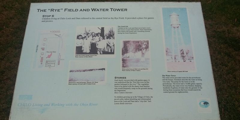
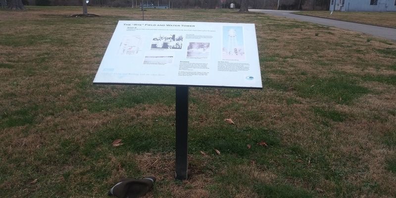
The “Rye” Field and Water Tower
— Chilo: Living and Working with the Ohio River —
Children living at Chilo Lock and Dam referred to the central field as the Rye Field. It provided a place for games and picnics.
The Good Life
Children at the Lock and Dam never had to mow their lawns or paint their houses. Most importantly, their fathers had steady jobs; something unusual during the Great Depression.
Stories
Each family was provided with garden space. It was understood that the "first four rows (of the garden) belonged to the river.” The vegetables were to be shared with the shanty boat families who would frequently camp on the grounds during the Depression.
Mary Camery interview
To children growing up in the Village of Chilo, the paved curbs, indoor plumbing and whitewashed trees at the Lock and Dam had a "city-like” feel.
Lonnie Bettle interview
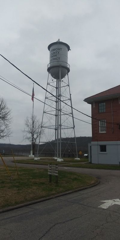
The Water Tower
The water tower provided water for the powerhouse and the houses. Residents describe the water as being very rusty. The pump for the tower is in the powerhouse. The tower had a 10,000 gallon capacity. Periodically, the water tower was flushed, dumping hundreds of gallons of water onto the ground. It was during these occasions that boys would search the soaked ground for nightcrawlers.
Erected by Clermont County Park District. (Marker Number 6.)
Topics. This historical marker is listed in these topic lists: Agriculture • Architecture • Notable Places.
Location. 38° 47.388′ N, 84° 7.919′ W. Marker is in Chilo, Ohio, in Clermont County. Marker is on County Park Road, 0.2 miles south of Ohio River Scenic Byway (U.S. 52), on the right when traveling south. Touch for map. Marker is at or near this postal address: 521 County Park Rd, Chilo OH 45112, United States of America. Touch for directions.
Other nearby markers. At least 8 other markers are within walking distance of this marker. Chilo Lock & Dam #34 Powerhouse (a few steps from this marker); The Chilo Lock and Dam #34 Walking Tour (within shouting distance of this marker); The Flood of 1937 (within shouting distance of this marker); Search Lights (within shouting distance of this marker); Water Highways (within shouting distance of this marker); Replacing Chilo (within shouting distance of this marker); Locking Through (within shouting distance of this marker); The Assistant Lockmaster’s House (within shouting distance of this marker). Touch for a list and map of all markers in Chilo.
Credits. This page was last revised on August 28, 2022. It was originally submitted on February 14, 2021, by Craig Doda of Napoleon, Ohio. This page has been viewed 130 times since then and 14 times this year. Photos: 1, 2, 3. submitted on February 14, 2021, by Craig Doda of Napoleon, Ohio. • Devry Becker Jones was the editor who published this page.


