Farmhouse & Slave Quarters
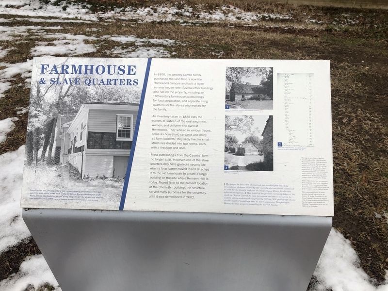
In 1800, the wealthy Carroll family purchased the land that is now the Homewood campus and built a large summer house here. Several other buildings also sat on the property, including an 18th-century farmhouse, outbuildings for food preparation, and separate living quarters for the slaves who worked for the family.
An inventory taken in 1825 lists the names of sixteen of the enslaved men, women and children who lived at Homewood. They worked in various trades, some as household servants and many as farm laborers. They likely lived in small structures divided into two rooms, each with a fireplace and door.
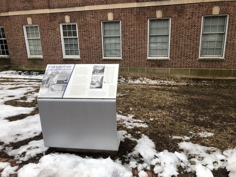
Most outbuildings from the Carrolls' farm no longer exist. However, one of the slave quarters may have gained a second life when a later owner moved it and attached it to the old farmhouse to create a larger building on the site where Remsen Hall is today. Moved later to the present location of the Chemistry building, the structure served many purposes for the university until it was demolished in 2002.
Topics. This historical marker is listed in these topic lists: African Americans • Agriculture • Notable Buildings. A significant historical year for this entry is 1800.
Location. 39° 19.782′ N, 76° 37.185′ W. Marker is in Baltimore, Maryland. It is in Johns Hopkins
Other nearby markers. At least 8 other markers are within walking distance of this marker. Keyser Quadrangle (within shouting distance of this marker); The Sheridan Libraries (within shouting distance of this marker); Homewood (within shouting distance of this marker); "Isaac Newton" Apple Tree (within shouting distance of this marker); Orchard (about 300 feet away, measured in a direct line); a different marker also named Homewood (about 300 feet away); Homewood Privy, c. 1801 (about 300 feet away); a different marker also named Homewood (about 500 feet away). Touch for a list and map of all markers in Baltimore.
Credits. This page was last revised on February 16, 2021. It was originally submitted on February 15, 2021, by Devry Becker Jones of Washington, District of Columbia. This page has been viewed 285 times since then and 52 times this year. Photos: 1, 2. submitted on February 15, 2021, by Devry Becker Jones of Washington, District of Columbia.

