Bridger in Carbon County, Montana — The American West (Mountains)
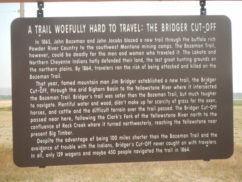
A Trail Woefully Hard to Travel: The Bridger Cut-Off
Inscription.
In 1863, John Bozeman and John Jacobs blazed a new trail through the buffalo rich Powder River Country to the southwest Montana mining camps. The Bozeman Trail, however, could be deadly for the men and women who traveled it. The Lakota and Northern Cheyenne Indians hotly defended their land, the last great hunting grounds the northern plains. By 1864, travelers ran the risk of being attacked and killed on the Bozeman Trail.
That year, famed mountain man Jim Bridger established a new trail, the Bridger Cut-Off, through the arid Bighorn Basin to the Yellowstone River where it intersected the Bozeman Trail. Bridger's trail was safer than the Bozeman Trail, but much tougher to navigate. Plentiful water and wood, didn't make up for scarcity of grass for the oxen, horses, and cattle here, following the Clark's Fork of the Yellowstone River north to the confluence of Rock Creek where it turned northwesterly, reaching the Yellowstone near present Big Timber.
Despite the advantage of being 100 miles shorter than the Bozeman Trail and the avoidance of trouble with the Indians, Bridger's Cut-Off never caught on with travelers. In all, only 129 wagons and maybe 450 people navigated the trail in 1864.
Erected by Montana Department of Transportation.
Topics. This historical marker is listed in this topic list: Roads & Vehicles.
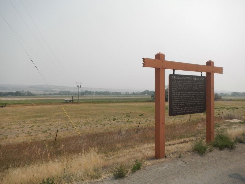
Location. 45° 16.74′ N, 108° 55.076′ W. Marker is in Bridger, Montana, in Carbon County. Marker is on U.S. 310 near Peters Road, on the left when traveling south. This marker is approximately 1 mile south of Bridger, MT. Touch for map. Marker is at or near this postal address: 2500 US Highway 310, Bridger MT 59014, United States of America. Touch for directions.
Other nearby markers. At least 8 other markers are within 8 miles of this marker, measured as the crow flies. Jim Bridger, Mountain Man (approx. 0.9 miles away); a different marker also named Jim Bridger, Mountain Man (approx. 0.9 miles away); Methodist Episcopal Church and Parsonage (approx. 1.1 miles away); The Corey House (approx. 1.3 miles away); The Pryor Mountains and Raptor Country (approx. 4.1 miles away); The Pryor Mountains (approx. 4.1 miles away); John Gibson House (approx. 7.8 miles away); Samuel and Jennie Greenblatt Residence (approx. 7.8 miles away). Touch for a list and map of all markers in Bridger.
Credits. This page was last revised on March 3, 2024. It was originally submitted on February 16, 2021, by Barry Swackhamer of Brentwood, California. This page has been viewed 300 times since then and 59 times this year. Last updated on January 12, 2024, by George Warburton of Joliet, Montana. Photos: 1, 2. submitted on February 16, 2021, by Barry Swackhamer of Brentwood, California. • Devry Becker Jones was the editor who published this page.

