Marker Logo HMdb.org THE HISTORICAL
MARKER DATABASE
“Bite-Size Bits of Local, National, and Global History”
Winchester in Clark County, Kentucky — The American South (East South Central)
 

East KY. Power Cooperative


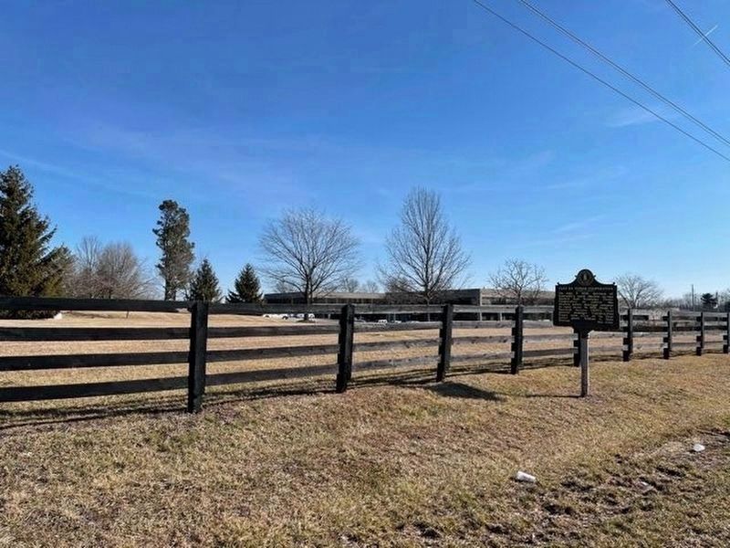
East KY. Power Cooperative Marker image. Click for full size.
Photographed By Frank Profitt, February 8, 2021
1. East KY. Power Cooperative Marker
Inscription.
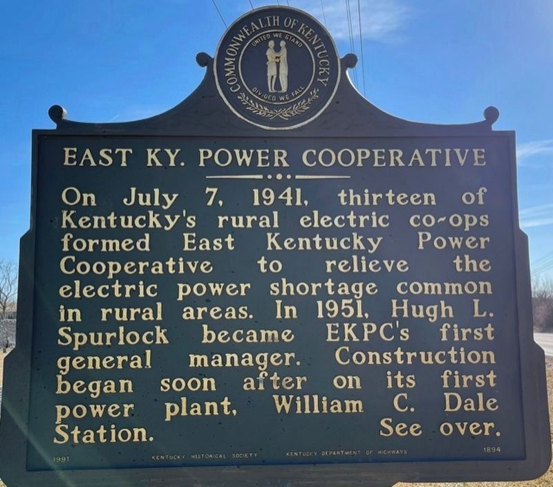
On July 7, 1941, thirteen of Kentucky's rural electric co-ops formed East Kentucky Power Cooperative to relieve the electric power shortage common in rural areas. In 1951, Hugh L. Spurlock became EKPC's first general manager. Construction began soon after on its first power plant, William C. Dale Station.

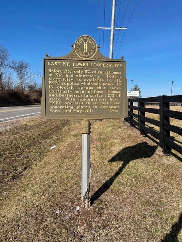
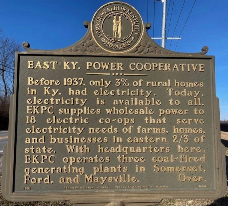
Before 1937, only 3% of rural homes in Ky. had electricity. Today, electricity is available to all. EKPC supplies wholesale power to 18 electric co-ops that serve electricity needs of farms, homes, and businesses in eastern 2/3 of state. With headquarters here, EKPC operates three coal-fired generating plants in Somerset, Ford, and Maysville.
 
Erected 1991 by Kentucky Historical Society; Kentucky Department of Highways. (Marker Number 1894.)
 
Topics and series. This historical marker is listed in this topic list: Industry & Commerce. In addition, it is included in the Kentucky Historical Society, and the Rural Electrification 💡 series lists. A significant historical date for this entry is July 7, 1941.
 
Location. 38° 1.277′ N, 84° 15.375′ W. Marker is in Winchester, Kentucky, in Clark County. Marker is on Lexington Rd (U.S. 60) 0.9 miles east of Venable Road, on the right when traveling west. Touch for map. Marker is at or near this postal address: 4758 Lexington Rd, Winchester KY 40391, United States of America. Touch for directions.
 
Other nearby markers.

Paid Advertisement
Click on the ad for more information.
Please report objectionable advertising to the Editor.
Click or scan to see
this page online
At least 8 other markers are within 5 miles of this marker, measured as the crow flies. Clark County Hemp / Hemp in Kentucky (approx. 1.3 miles away); Roy Stuart Cluke (approx. 1.9 miles away); Colbyville Tavern (approx. 2 miles away); Capt. John Strode (approx. 2.4 miles away); Capt. Isaac Cunningham (approx. 2.9 miles away); Allen Tate (1899-1978) (approx. 3.6 miles away); Daniel Boone (approx. 4.3 miles away); Homer C. Ledford (approx. 4.3 miles away). Touch for a list and map of all markers in Winchester.
 
East KY. Power Cooperative Marker image. Click for full size.
Photographed By Frank Profitt, February 8, 2021
2. East KY. Power Cooperative Marker
East KY. Power Cooperative Marker image. Click for full size.
Photographed By Frank Profitt, February 8, 2021
3. East KY. Power Cooperative Marker
East KY. Power Cooperative Marker image. Click for full size.
Photographed By Frank Profitt, February 8, 2021
4. East KY. Power Cooperative Marker
 
 
Credits. This page was last revised on February 18, 2021. It was originally submitted on February 16, 2021, by Frank Profitt of Georgetown, Kentucky. This page has been viewed 183 times since then and 25 times this year. Photos:   1, 2, 3, 4. submitted on February 16, 2021, by Frank Profitt of Georgetown, Kentucky. • Devry Becker Jones was the editor who published this page.
Share this page.  
Share on Tumblr
m=167030

CeraNet Cloud Computing sponsors the Historical Marker Database.
This website earns income from purchases you make after using our links to Amazon.com. We appreciate your support.
Paid Advertisement
May. 8, 2024