The Fort: Supply Depot
Supply Depot
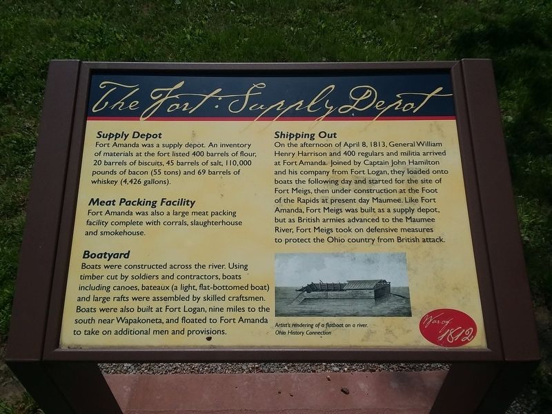
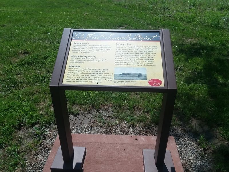
Fort Amanda was a supply depot. An inventory of materials at the fort listed 400 barrels of flour, 20 barrels of biscuits, 45 barrels of salt, I10,000 pounds of bacon (55 tons) and 69 barrels of whiskey (4,426 gallons).
Meat Packing Facility
Fort Amanda was also a large meat packing
facility complete with corrals, slaughterhouse
and smokehouse.
Boatyard
Boats were constructed across the river. Using
timber cut by soldiers and contractors, boats
including canoes, bateaux (a light, flat-bottomed boat)
and large rafts were assembled by skilled craftsmen.
Boats were also built at Fort Logan, nine miles to the
south near Wapakoneta, and floated to Fort Amanda
to take on additional men and provisions.
Shipping Out
On the afternoon of April 8, I813, General William
Henry Harrison and 400 regulars and militia arrived
at Fort Amanda. Joined by Captain John Hamilton
and his company from Fort Logan, they loaded onto
boats the following day and started for the site of
Fort Meigs, then under construction at the Foot
of the Rapids at present day Maumee. Like Fort
Amanda, Fort Meigs was built as a supply depot,
but as British armies advanced to the Maumee
River, Fort Meigs took on defensive measures
to protect the Ohio country from British attack.
Erected by Ohio History Connection.
Topics and series. This historical marker is listed in these topic lists: Forts and Castles • War of 1812. In addition, it is included in the Ohio Historical Society / The Ohio History Connection series list. A significant day of the year for for this entry is April 8.
Location. 40° 40.847′ N, 84° 16.078′ W. Marker is in Kossuth, Ohio, in Auglaize County. Marker is on Ohio Route 198, 0.3 miles south of Deep Cut Road (Local Highway 230), on the right when traveling north. Touch for map. Marker is in this post office area: Spencerville OH 45887, United States of America. Touch for directions.
Other nearby markers. At least 8 other markers are within walking distance of this marker. Fort Amanda (a few steps from this marker); Sketch of a Soldier (a few steps from this marker); The Fort: Construction (within shouting distance of this marker); Fort Amanda Monument (within shouting distance of this marker); a different marker also named Fort Amanda (within shouting distance of this marker); Strategic Location (about 400 feet away, measured in a direct line); Troops Stationed at Fort Amanda (about 500 feet away); a different marker also named Troops Stationed at Fort Amanda (about 500 feet away). Touch for a list and map of all markers in Kossuth.
Credits. This page was last revised on February 18, 2021. It was originally submitted on February 17, 2021, by Craig Doda of Napoleon, Ohio. This page has been viewed 132 times since then and 13 times this year. Photos: 1, 2. submitted on February 17, 2021, by Craig Doda of Napoleon, Ohio. • Devry Becker Jones was the editor who published this page.

