Skyline in Jackson County, Alabama — The American South (East South Central)
Skyline Farms
Photographed by Duane and Tracy Marsteller, February 13, 2021
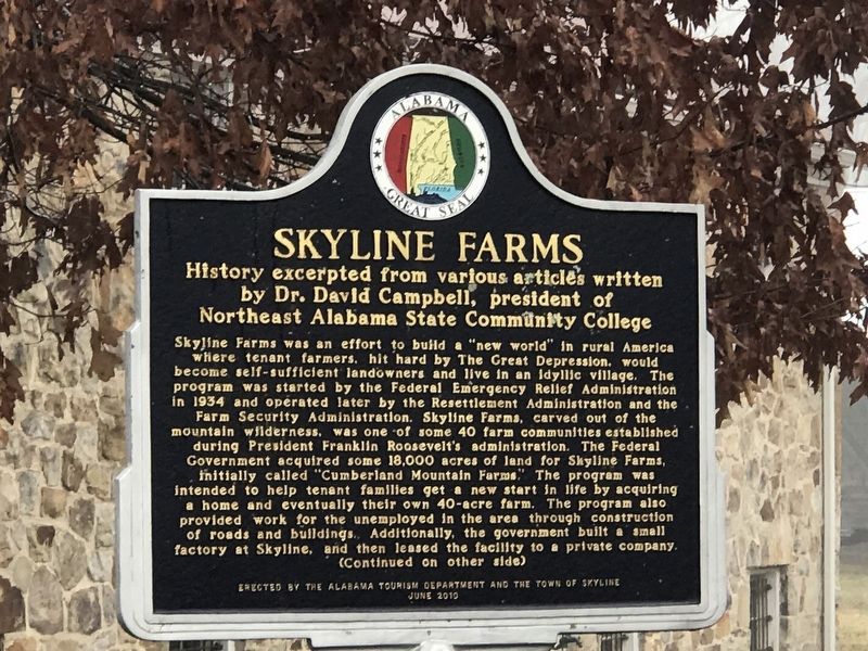
1. Skyline Farms Marker (Side A)
by Dr. David Campbell, president of
Northeast Alabama State Community College
this page online
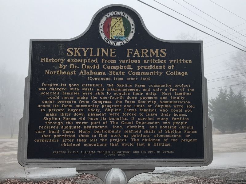
Despite its good intentions, the Skyline Farm community project was charged with waste and mismanagement and only a few of the selected families were able to acquire their units. Most families could never make the one-fourth down payment and finally, under pressure from Congress, the Farm Security Administration ended its farm community programs and units at Skyline were sold to private buyers. Sadly, Skyline Farms families who could not make their down payment were forced to leave their homes. Skyline Farms did have its benefits: It carried many families through the worst part of The Great Depression and people received adequate healthcare, food, clothing, and housing during very hard times. Many participants learned skills at Skyline Farms that permitted them to find work as painters, stonemasons, or carpenters after they left the project. The children of the project obtained educations that would last a lifetime.
Erected 2010 by Alabama Tourism Department and the Town of Skyline.
Topics and series. This historical marker is listed in these topic lists: Agriculture • Charity & Public Work. In addition,
Photographed by Duane and Tracy Marsteller, February 13, 2021
2. Skyline Farms Marker (Side B)
Location. 34° 48.756′ N, 86° 7.451′ W. Marker is in Skyline, Alabama, in Jackson County. It is at the intersection of County Road 25 and County Road 107, on the right when traveling north on County Road 25. Touch for map. Marker is at or near this postal address: 801 County Road 25, Scottsboro AL 35768, United States of America. Touch for directions.

Regionally, this marker is in North Alabama. It is also in the American South, specifically in the Deep South, in Appalachia, and specifically in Southern Appalachia. Globally, it is in North America, a Gulf of Mexico state, the Western Hemisphere, the Western World, and the Anglosphere. Historically, it finds itself in what was once the original Cherokee Nation, the territory of the Mississippian Culture, one of the Confederate States of America, and the Antebellum South.
Other nearby markers. At least 8 other markers are within 11 miles of this marker, measured as the crow flies: Skyline School (approx. 0.2 miles away); Cumberland Mountain Road (approx. 4.1 miles
Photographed by Duane and Tracy Marsteller, February 13, 2021
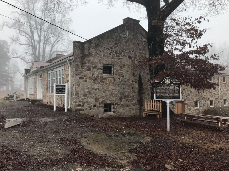
3. Skyline Farms Marker
The former commissary building, now a museum, is in the background.
Another marker is no longer nearby. Phillip Hammon (was approx. 9.7 miles away but has been permanently removed).
Related markers. Click here for a list of markers that are related to this marker.
Also see . . .
1. Skyline Farms. A brief video overview of the social experiment. From Alabama Public Television's "Alabama Legacy Moments" series. (Submitted on February 18, 2021, by Duane and Tracy Marsteller of Murfreesboro, Tennessee.)
2. Skyline Farms: A 1930's Experiment in Alabama. From the Alabama Yesterdays blog. (Submitted on February 18, 2021, by Duane and Tracy Marsteller of Murfreesboro, Tennessee.)
Credits. This page was last revised on February 18, 2021. It was originally submitted on February 18, 2021, by Duane and Tracy Marsteller of Murfreesboro, Tennessee. This page has been viewed 1,189 times since then and 32 times this year. Photos: 1, 2, 3. submitted on February 18, 2021, by Duane and Tracy Marsteller of Murfreesboro, Tennessee.
