Skyline in Jackson County, Alabama — The American South (East South Central)
Skyline School
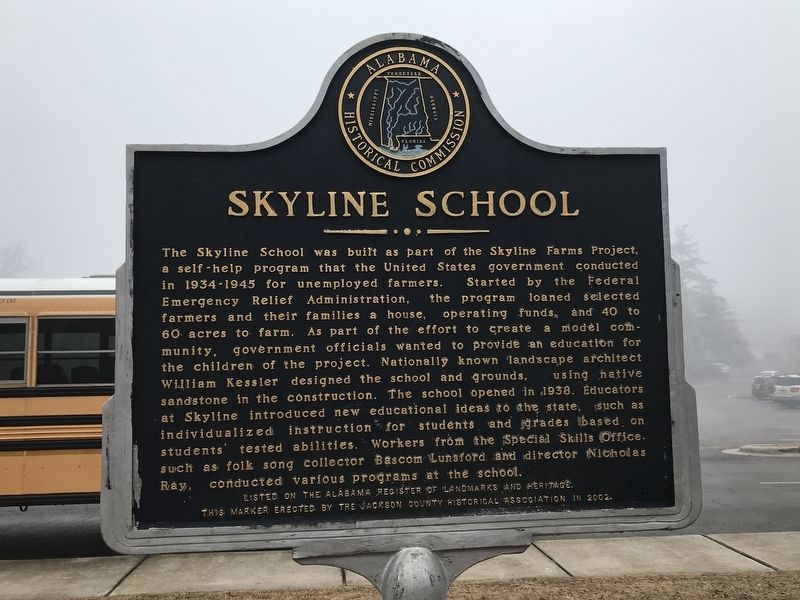
Photographed by Duane and Tracy Marsteller, February 13, 2021
1. Skyline School Marker
The marker text is identical on both sides. This side, facing the school building, is more legible.
Erected 2002 by Jackson County Historical Association.
Topics. This historical marker is listed in these topic lists: Architecture
this page online
Location. 34° 48.898′ N, 86° 7.461′ W. Marker is in Skyline, Alabama, in Jackson County. It can be reached from County Road 25 south of Paradise Lane, on the right when traveling south. Touch for map. Marker is at or near this postal address: 897 County Road 25, Scottsboro AL 35768, United States of America. Touch for directions.

Regionally, this marker is in North Alabama. It is also in the American South, specifically in the Deep South, in Appalachia, and specifically in Southern Appalachia. Globally, it is in North America, a Gulf of Mexico state, the Western Hemisphere, the Western World, and the Anglosphere. Historically, it finds itself in what was once the original Cherokee Nation, the territory of the Mississippian Culture, one of the Confederate States of America, and the Antebellum South.
Other nearby markers. At least 8 other markers are within 11 miles of this marker, measured as the crow flies: Skyline Farms (approx. 0.2 miles away); Cumberland Mountain Road (approx. 4.2 miles away); Paint Rock Valley High School
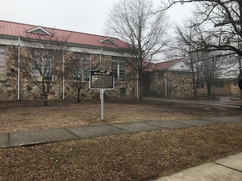
Photographed by Duane and Tracy Marsteller, February 13, 2021
2. Skyline School Marker
Another marker is no longer nearby. Phillip Hammon (was approx. 9.7 miles away but has been permanently removed).
Related markers. Click here for a list of markers that are related to this marker.
Credits. This page was last revised on February 18, 2021. It was originally submitted on February 18, 2021, by Duane and Tracy Marsteller of Murfreesboro, Tennessee. This page has been viewed 794 times since then and 66 times this year. Photos: 1, 2. submitted on February 18, 2021, by Duane and Tracy Marsteller of Murfreesboro, Tennessee.
